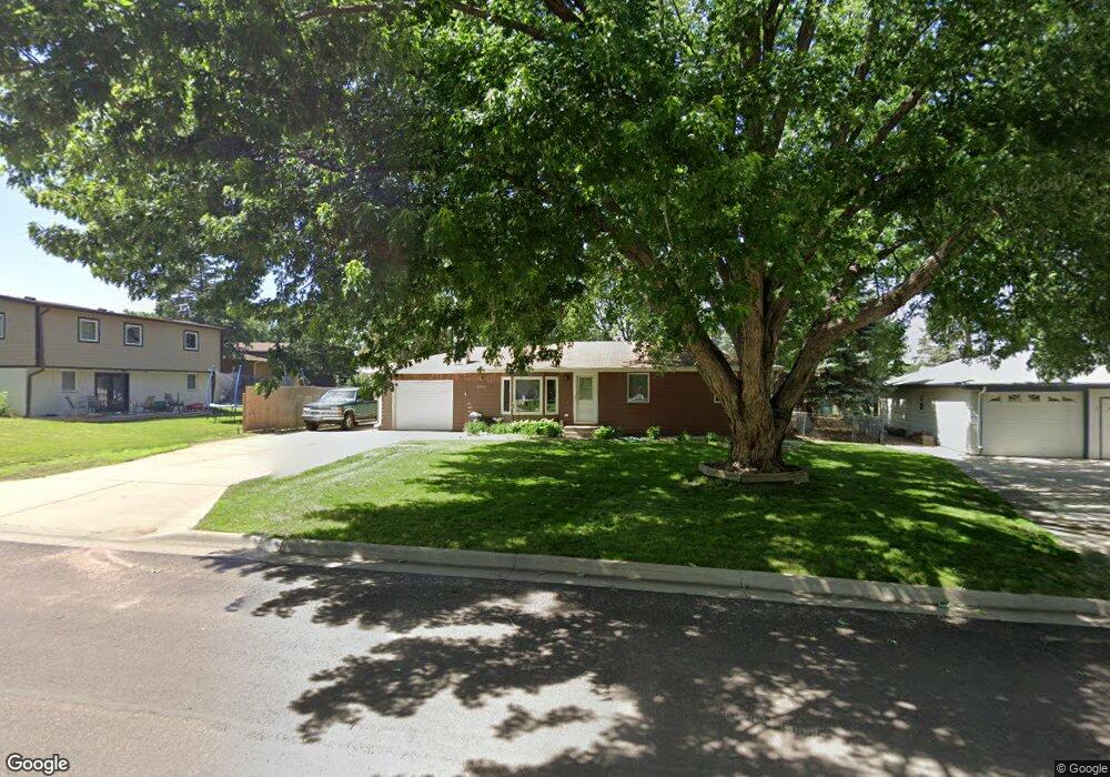
2013 Sylvan Cir Brandon, SD 57005
Estimated Value: $245,000 - $254,681
4
Beds
2
Baths
1,660
Sq Ft
$151/Sq Ft
Est. Value
About This Home
This home is located at 2013 Sylvan Cir, Brandon, SD 57005 and is currently estimated at $250,170, approximately $150 per square foot. 2013 Sylvan Cir is a home located in Minnehaha County with nearby schools including Brandon Elementary School, Brandon Valley Middle School, and Brandon Valley Intermediate School.
Ownership History
Date
Name
Owned For
Owner Type
Purchase Details
Closed on
Nov 29, 2013
Sold by
Thompson Jennifer and Thompson Jeff
Bought by
Timmons Reynold L and Timmons Teresa R
Current Estimated Value
Home Financials for this Owner
Home Financials are based on the most recent Mortgage that was taken out on this home.
Original Mortgage
$103,920
Outstanding Balance
$76,378
Interest Rate
4.1%
Mortgage Type
Stand Alone First
Estimated Equity
$173,792
Create a Home Valuation Report for This Property
The Home Valuation Report is an in-depth analysis detailing your home's value as well as a comparison with similar homes in the area
Home Values in the Area
Average Home Value in this Area
Purchase History
| Date | Buyer | Sale Price | Title Company |
|---|---|---|---|
| Timmons Reynold L | $129,900 | -- |
Source: Public Records
Mortgage History
| Date | Status | Borrower | Loan Amount |
|---|---|---|---|
| Open | Timmons Reynold L | $103,920 |
Source: Public Records
Tax History
| Year | Tax Paid | Tax Assessment Tax Assessment Total Assessment is a certain percentage of the fair market value that is determined by local assessors to be the total taxable value of land and additions on the property. | Land | Improvement |
|---|---|---|---|---|
| 2024 | $2,862 | $208,600 | $43,800 | $164,800 |
| 2023 | $2,700 | $186,100 | $43,800 | $142,300 |
| 2022 | $2,586 | $168,400 | $43,800 | $124,600 |
| 2021 | $2,438 | $145,600 | $0 | $0 |
| 2020 | $2,438 | $149,000 | $0 | $0 |
| 2019 | $2,472 | $148,190 | $0 | $0 |
| 2018 | $2,271 | $140,145 | $0 | $0 |
| 2017 | $2,140 | $135,708 | $38,105 | $97,603 |
| 2016 | $2,140 | $125,310 | $38,105 | $87,205 |
| 2015 | $2,121 | $119,414 | $35,382 | $84,032 |
| 2014 | $2,043 | $115,345 | $35,382 | $79,963 |
Source: Public Records
Map
Nearby Homes
- 1916 Sylvan Cir
- 101 Pipestone St Unit 2
- 101 Pipestone St Unit 4
- 600 N Yellowstone Dr
- 1601 E Sylvan Cir
- 410 9th Ave
- 1604 E Redwood Blvd
- 1411 Rushmore Dr
- 913 Maywood St
- 901 Pine St
- 1505 E Cedar St
- 1604 E Liberty Cir
- 716 Magnolia Dr
- 1125 E Lark St
- 2516 E Chestnut Trail
- 2500 E Chestnut Trail
- 205 N Fairway Dr
- 609 S Splitrock Blvd
- 505 Pasque Flower Trail
- 109 S Peaceful Ave Ave
- 2009 Sylvan Cir
- 2017 E Sylvan Cir
- 2017 Sylvan Cir
- 308 N Needles Dr
- 2008 Sylvan Cir
- 2005 Sylvan Cir
- 2012 Sylvan Cir
- 1401 E Custer Pkwy
- 1401 Custer Pkwy
- 312 N Needles Dr
- 1313 Custer Pkwy
- 1405 E Custer Pkwy
- 1405 Custer Pkwy
- 220 N Needles Dr
- 2101 Sylvan Cir
- 1309 Custer Pkwy
- 305 N Needles Dr
- 2001 Sylvan Cir
- 316 N Needles Dr
- 316 N Needles Dr Dr
Your Personal Tour Guide
Ask me questions while you tour the home.