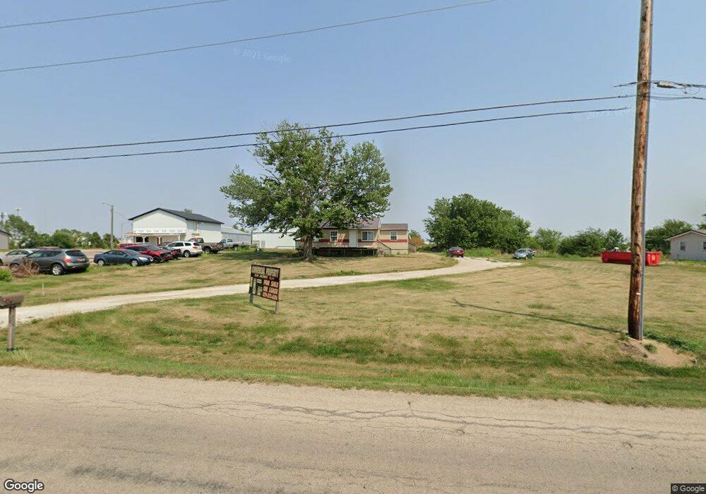
2013 West Post Rd SW Cedar Rapids, IA 52404
Estimated Value: $218,000 - $600,957
4
Beds
1
Bath
5,328
Sq Ft
$79/Sq Ft
Est. Value
About This Home
This home is located at 2013 West Post Rd SW, Cedar Rapids, IA 52404 and is currently estimated at $422,986, approximately $79 per square foot. 2013 West Post Rd SW is a home with nearby schools including Van Buren Elementary School, Wilson Middle School, and Thomas Jefferson High School.
Ownership History
Date
Name
Owned For
Owner Type
Purchase Details
Closed on
Aug 17, 2006
Sold by
Keeney Bradley J and Keeney Robb P
Bought by
Cassill Roger A and Cassill Colleen A
Current Estimated Value
Home Financials for this Owner
Home Financials are based on the most recent Mortgage that was taken out on this home.
Original Mortgage
$225,000
Interest Rate
6.7%
Mortgage Type
Unknown
Create a Home Valuation Report for This Property
The Home Valuation Report is an in-depth analysis detailing your home's value as well as a comparison with similar homes in the area
Home Values in the Area
Average Home Value in this Area
Purchase History
| Date | Buyer | Sale Price | Title Company |
|---|---|---|---|
| Cassill Roger A | $224,500 | None Available |
Source: Public Records
Mortgage History
| Date | Status | Borrower | Loan Amount |
|---|---|---|---|
| Closed | Cassill Roger A | $225,000 |
Source: Public Records
Tax History Compared to Growth
Tax History
| Year | Tax Paid | Tax Assessment Tax Assessment Total Assessment is a certain percentage of the fair market value that is determined by local assessors to be the total taxable value of land and additions on the property. | Land | Improvement |
|---|---|---|---|---|
| 2025 | $12,670 | $530,700 | $160,700 | $370,000 |
| 2024 | $10,432 | $511,000 | $160,700 | $350,300 |
| 2023 | $10,432 | $509,800 | $160,700 | $349,100 |
| 2022 | $7,816 | $401,000 | $160,700 | $240,300 |
| 2021 | $7,978 | $341,900 | $160,700 | $181,200 |
| 2020 | $7,978 | $339,500 | $153,000 | $186,500 |
| 2019 | $8,668 | $340,680 | $131,580 | $209,100 |
| 2018 | $11,746 | $340,680 | $131,580 | $209,100 |
| 2017 | $10,790 | $294,780 | $131,580 | $163,200 |
| 2016 | $10,790 | $296,480 | $131,580 | $164,900 |
| 2015 | $10,924 | $317,917 | $153,000 | $164,917 |
| 2014 | $10,924 | $317,917 | $153,000 | $164,917 |
| 2013 | $11,560 | $317,917 | $153,000 | $164,917 |
Source: Public Records
Map
Nearby Homes
- 4619 1st Ave SW Unit 3
- 5817 Eastview Ave SW
- 6028 Langdon Ave SW
- 123 Rich Mar Ct NW
- 2335 Wiley Blvd SW
- 5911 Crestridge Ave SW
- 3115 Golden Gate Ct SW
- 3109 Golden Gate Ct SW
- 4809 Dostal Ct SW
- 3003 James Pkwy SW
- 5500 Sharon Ln NW
- 5616 Dostal Dr SW
- 5221 Dostal Dr SW
- 2903 Belle St SW
- 1590 Stoney Pt Rd & 6600 16th Ave SW
- 3024 Teton St SW
- 3026 Teton St SW
- 0 Williams Blvd Sw 6 47 Ac Unit 202506004
- 164 Cherry Hill Rd NW
- 3030 Teton St SW
- 2037 West Post Rd SW
- 5300 20th Ave SW Unit 402
- 5300 20th Ave SW Unit 302
- 5300 20th Ave SW Unit 301
- 1901 W Post Rd SW
- 5260 20th Ave SW
- 5210 20th Ave SW
- 5210 20th Ave SW Unit A
- 5325 18th Ave SW
- 2200 West Post Rd SW
- 2160 W Post Rd SW
- 2211 W Post Rd SW
- 5137 18th Ave SW
- 5100 18th Ave SW
- 5100BLK 18th Ave SW
- 5200 18th Ave SW
- 4601 20th Ave SW
- 1650 West Post Rd SW
- 5101 18th Ave SW
- 1620 W Post Rd SW Unit A