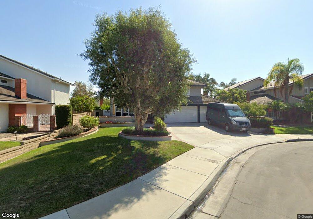
20132 N New Britain Ln Huntington Beach, CA 92646
Southeast NeighborhoodEstimated Value: $1,549,000 - $1,810,000
4
Beds
3
Baths
2,086
Sq Ft
$818/Sq Ft
Est. Value
About This Home
This home is located at 20132 N New Britain Ln, Huntington Beach, CA 92646 and is currently estimated at $1,707,013, approximately $818 per square foot. 20132 N New Britain Ln is a home located in Orange County with nearby schools including S.A. Moffett Elementary School, Isaac L. Sowers Middle School, and Edison High School.
Ownership History
Date
Name
Owned For
Owner Type
Purchase Details
Closed on
Oct 27, 2020
Sold by
Horner Justin Allen and Horner Monica Leanne
Bought by
Horner Justin Allen and Horner Monica Leanne
Current Estimated Value
Home Financials for this Owner
Home Financials are based on the most recent Mortgage that was taken out on this home.
Original Mortgage
$327,000
Interest Rate
2.9%
Mortgage Type
New Conventional
Purchase Details
Closed on
Jul 6, 2017
Sold by
Homer Justin and Homer Monica
Bought by
Horner Justin Allen and Horner Monica Leanne
Purchase Details
Closed on
Jun 1, 2015
Sold by
Horner Gene and Horner Justin
Bought by
Horner Justin and Horner Monica
Home Financials for this Owner
Home Financials are based on the most recent Mortgage that was taken out on this home.
Original Mortgage
$337,800
Interest Rate
3.77%
Mortgage Type
New Conventional
Purchase Details
Closed on
Jun 22, 2013
Sold by
Horner Gene D
Bought by
Horner Gene and Horner Justin
Home Financials for this Owner
Home Financials are based on the most recent Mortgage that was taken out on this home.
Original Mortgage
$348,000
Interest Rate
3.79%
Mortgage Type
New Conventional
Purchase Details
Closed on
Nov 30, 2012
Sold by
Horner Gene D
Bought by
Horner Gene D and The 1998 Horner Family Trust
Home Financials for this Owner
Home Financials are based on the most recent Mortgage that was taken out on this home.
Original Mortgage
$348,000
Interest Rate
3.34%
Mortgage Type
New Conventional
Purchase Details
Closed on
Dec 10, 2004
Sold by
Horner Gene D and Horner Kristine A
Bought by
Horner Gene D and Horner Kristine A
Home Financials for this Owner
Home Financials are based on the most recent Mortgage that was taken out on this home.
Original Mortgage
$12,500
Interest Rate
5.7%
Mortgage Type
New Conventional
Purchase Details
Closed on
Jan 5, 1999
Sold by
Horner Gene D and Horner Kristine A
Bought by
Horner Gene D and Horner Kristine A
Create a Home Valuation Report for This Property
The Home Valuation Report is an in-depth analysis detailing your home's value as well as a comparison with similar homes in the area
Home Values in the Area
Average Home Value in this Area
Purchase History
| Date | Buyer | Sale Price | Title Company |
|---|---|---|---|
| Horner Justin Allen | -- | Accommodation | |
| Horner Justin Allen | -- | Fidelity National Title | |
| Horner Justin Allen | -- | None Available | |
| Horner Justin | -- | Chicago Title Company | |
| Horner Gene | -- | None Available | |
| Horner Gene D | -- | None Available | |
| Horner Gene D | -- | None Available | |
| Horner Gene D | -- | Lawyers Title Company | |
| Horner Gene D | -- | -- |
Source: Public Records
Mortgage History
| Date | Status | Borrower | Loan Amount |
|---|---|---|---|
| Closed | Horner Justin Allen | $327,000 | |
| Closed | Horner Justin | $337,800 | |
| Closed | Horner Gene | $348,000 | |
| Closed | Horner Gene D | $348,000 | |
| Closed | Horner Gene D | $12,500 |
Source: Public Records
Tax History Compared to Growth
Tax History
| Year | Tax Paid | Tax Assessment Tax Assessment Total Assessment is a certain percentage of the fair market value that is determined by local assessors to be the total taxable value of land and additions on the property. | Land | Improvement |
|---|---|---|---|---|
| 2025 | $6,434 | $566,158 | $351,021 | $215,137 |
| 2024 | $6,434 | $555,057 | $344,138 | $210,919 |
| 2023 | $6,288 | $544,174 | $337,390 | $206,784 |
| 2022 | $6,205 | $541,108 | $330,774 | $210,334 |
| 2021 | $6,089 | $530,499 | $324,289 | $206,210 |
| 2020 | $6,049 | $525,060 | $320,964 | $204,096 |
| 2019 | $5,977 | $514,765 | $314,670 | $200,095 |
| 2018 | $5,883 | $504,672 | $308,500 | $196,172 |
| 2017 | $5,804 | $494,777 | $302,451 | $192,326 |
| 2016 | $5,548 | $485,076 | $296,521 | $188,555 |
| 2015 | $5,494 | $477,790 | $292,067 | $185,723 |
| 2014 | -- | $468,431 | $286,346 | $182,085 |
Source: Public Records
Map
Nearby Homes
- 20162 S New Britain Ln
- 8182 Mainsail Dr Unit 203
- 20302 Tidepool Cir Unit 204
- 8472 Norfolk Dr
- 20251 Lighthouse Ln
- 20251 Cape Coral Ln Unit 315
- 20301 Bluffside Cir Unit D401
- 20301 Bluffside Cir Unit D312
- 20371 Bluffside Cir Unit B214
- 20331 Bluffside Cir Unit 411
- 20331 Bluffside Cir Unit A108
- 20331 Bluffside Cir Unit 303
- 20331 Bluffside Cir Unit 222
- 20331 Bluffside Cir Unit A320
- 20331 Bluffside Cir Unit 417
- 8401 Dallas Cir
- 20191 Imperial Cove Ln
- 20401 Somerville Ln
- 20012 Treasure Cir
- 20131 Crown Reef Ln
- 20122 N New Britain Ln
- 20142 N New Britain Ln
- 20131 Cape Cottage Ln
- 20121 Cape Cottage Ln
- 20102 N New Britain Ln
- 20141 Cape Cottage Ln
- 20152 S New Britain Ln
- 20101 Cape Cottage Ln
- 20151 Cape Cottage Ln
- 20131 N New Britain Ln
- 20092 N New Britain Ln
- 20141 N New Britain Ln
- 20121 N New Britain Ln
- 20091 Cape Cottage Ln
- 20161 Cape Cottage Ln
- 20101 N New Britain Ln
- 20151 S New Britain Ln
- 20082 N New Britain Ln
- 20081 Cape Cottage Ln
- 20091 N New Britain Ln