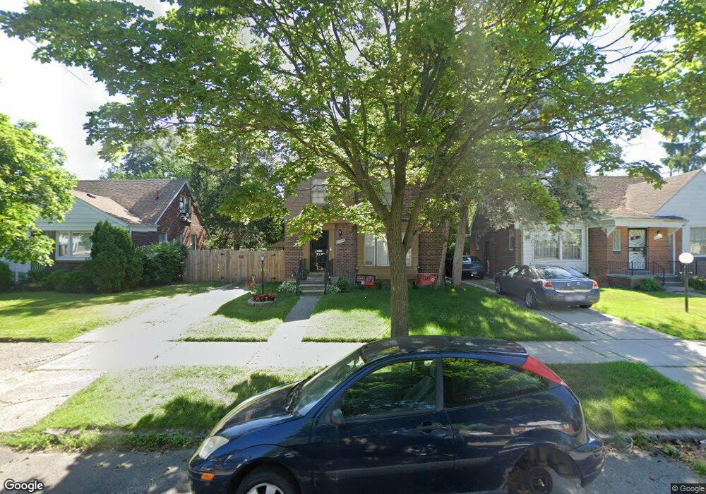
20134 Snowden St Detroit, MI 48235
Blackstone Park NeighborhoodEstimated Value: $117,000 - $167,000
--
Bed
1
Bath
1,587
Sq Ft
$89/Sq Ft
Est. Value
About This Home
This home is located at 20134 Snowden St, Detroit, MI 48235 and is currently estimated at $141,288, approximately $89 per square foot. 20134 Snowden St is a home located in Wayne County with nearby schools including Vernor Elementary School, Charles L. Spain Elementary-Middle School, and Edward 'Duke' Ellington Conservatory of Music and Art.
Ownership History
Date
Name
Owned For
Owner Type
Purchase Details
Closed on
Nov 1, 2022
Sold by
Kidd Earl L and Kidd Claudia
Bought by
Young Shuwan Latrice
Current Estimated Value
Purchase Details
Closed on
Nov 9, 2012
Sold by
Kidd Earl L and Hommel Claudia
Bought by
Young Shuwan La Trice
Purchase Details
Closed on
Nov 7, 2012
Sold by
Hommel Flora N and Suhd Glenn
Bought by
Kidd Earl L and Hommel Claudia
Create a Home Valuation Report for This Property
The Home Valuation Report is an in-depth analysis detailing your home's value as well as a comparison with similar homes in the area
Home Values in the Area
Average Home Value in this Area
Purchase History
| Date | Buyer | Sale Price | Title Company |
|---|---|---|---|
| Young Shuwan Latrice | $25,000 | Bell Title | |
| Young Shuwan La Trice | -- | Bell Title Agency Plymouth | |
| Kidd Earl L | -- | Bell Title Agency Redford |
Source: Public Records
Tax History Compared to Growth
Tax History
| Year | Tax Paid | Tax Assessment Tax Assessment Total Assessment is a certain percentage of the fair market value that is determined by local assessors to be the total taxable value of land and additions on the property. | Land | Improvement |
|---|---|---|---|---|
| 2025 | $125 | $53,900 | $0 | $0 |
| 2024 | $125 | $47,300 | $0 | $0 |
| 2023 | $641 | $38,600 | $0 | $0 |
| 2022 | $2,767 | $34,000 | $0 | $0 |
| 2021 | $180 | $0 | $0 | $0 |
| 2020 | $1,355 | $25,000 | $0 | $0 |
| 2019 | $1,460 | $18,400 | $0 | $0 |
| 2018 | $1,134 | $15,200 | $0 | $0 |
| 2017 | $300 | $15,800 | $0 | $0 |
| 2016 | $1,592 | $22,500 | $0 | $0 |
| 2015 | $2,250 | $22,500 | $0 | $0 |
| 2013 | $3,313 | $33,125 | $0 | $0 |
| 2010 | -- | $48,566 | $1,116 | $47,450 |
Source: Public Records
Map
Nearby Homes
- 20124 Snowden St
- 20108 Cheyenne St
- 20196 Hartwell St
- 20129 Ward St
- 20167 Ward St
- 20150 Schaefer Hwy
- 20184 Ward St
- 20242 Ward St
- 19909 Hartwell St
- 19978 Tracey St
- 19925 Schaefer Hwy
- 13517 Pembroke Ave
- 20426 Tracey St
- 20110 Lesure St
- 19744 Snowden St
- 19744 Littlefield St
- 20123 Appoline St
- 20141 Appoline St
- 20412 Steel St
- 19721 Hartwell St
- 20144 Snowden St
- 20115 Littlefield St
- 20156 Snowden St
- 20114 Snowden St
- 20135 Littlefield St
- 20127 Littlefield St Unit Bldg-Unit
- 20127 Littlefield St
- 20145 Littlefield St
- 20155 Littlefield St
- 20100 Snowden St
- 20135 Snowden St
- 20143 Snowden St
- 20125 Snowden St
- 20103 Littlefield St
- 20165 Littlefield St
- 20151 Snowden St
- 20172 Snowden St
- 20113 Snowden St
- 20161 Snowden St
- 20177 Littlefield St