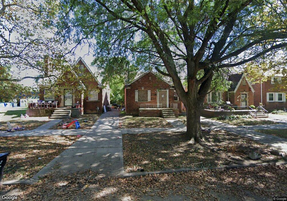
20138 Stotter St Detroit, MI 48234
Sherwood NeighborhoodEstimated Value: $79,000 - $110,000
3
Beds
1
Bath
1,374
Sq Ft
$69/Sq Ft
Est. Value
About This Home
This home is located at 20138 Stotter St, Detroit, MI 48234 and is currently estimated at $95,333, approximately $69 per square foot. 20138 Stotter St is a home located in Wayne County with nearby schools including Marion Law Academy, Edward 'Duke' Ellington Conservatory of Music and Art, and Charles L. Spain Elementary-Middle School.
Ownership History
Date
Name
Owned For
Owner Type
Purchase Details
Closed on
Dec 17, 2021
Sold by
County Of Wayne
Bought by
Detroit Land Bank Authority
Current Estimated Value
Purchase Details
Closed on
Dec 12, 2016
Sold by
Sabree Eric R
Bought by
Jones Damon
Purchase Details
Closed on
Nov 7, 2013
Sold by
Wayne County Treasurer
Bought by
Westside Brick Llc
Purchase Details
Closed on
Jun 2, 2009
Sold by
Donovan Shaun
Bought by
White Letitia
Purchase Details
Closed on
Jun 12, 2006
Sold by
Chase Home Finance Llc
Bought by
Hud
Purchase Details
Closed on
Oct 5, 2005
Sold by
Love Desiree
Bought by
Chase Home Finance Llc
Create a Home Valuation Report for This Property
The Home Valuation Report is an in-depth analysis detailing your home's value as well as a comparison with similar homes in the area
Home Values in the Area
Average Home Value in this Area
Purchase History
| Date | Buyer | Sale Price | Title Company |
|---|---|---|---|
| Detroit Land Bank Authority | -- | None Available | |
| Jones Damon | $500 | None Available | |
| Westside Brick Llc | $2,400 | None Available | |
| White Letitia | $3,500 | None Available | |
| Hud | -- | None Available | |
| Chase Home Finance Llc | $85,823 | None Available |
Source: Public Records
Tax History Compared to Growth
Tax History
| Year | Tax Paid | Tax Assessment Tax Assessment Total Assessment is a certain percentage of the fair market value that is determined by local assessors to be the total taxable value of land and additions on the property. | Land | Improvement |
|---|---|---|---|---|
| 2025 | -- | $0 | $0 | $0 |
| 2024 | $254 | $0 | $0 | $0 |
| 2023 | $120 | $0 | $0 | $0 |
| 2022 | $891 | $15,500 | $0 | $0 |
| 2021 | $815 | $11,200 | $0 | $0 |
| 2020 | $815 | $10,800 | $0 | $0 |
| 2019 | $804 | $8,500 | $0 | $0 |
| 2018 | $719 | $7,100 | $0 | $0 |
| 2017 | $116 | $6,100 | $0 | $0 |
| 2016 | $1,174 | $19,300 | $0 | $0 |
| 2015 | $1,230 | $12,300 | $0 | $0 |
| 2013 | $1,533 | $15,334 | $0 | $0 |
| 2010 | -- | $22,481 | $928 | $21,553 |
Source: Public Records
Map
Nearby Homes
- 20124 Spencer St
- 20178 Stotter St
- 20209 Stotter St
- 20215 Stotter St
- 20229 Stotter St
- 20234 Stotter St
- 20220 Spencer St
- 20225 Terrell St
- 19985 Packard St
- 20192 Rogge St
- 20400 Packard St
- 4470 Outer Dr E
- 20466 Spencer St
- 20143 Rogge St
- 19721 Spencer St
- 20464 Bramford St
- 20170 Carrie St
- 19698 Packard St
- 19674 Stotter St
- 20421 Rogge St
- 20130 Stotter St
- 20150 Stotter St
- 20124 Stotter St
- 20116 Stotter St
- 20110 Stotter St
- 20127 Van Dyke St
- 20102 Stotter St
- 20137 Stotter St
- 20145 Stotter St
- 20131 Stotter St
- 20151 Stotter St
- 20125 Stotter St
- 20159 Stotter St
- 20117 Stotter St
- 20166 Stotter St
- 20109 Stotter St
- 20186 Stotter St
- 20165 Stotter St
- 20173 Stotter St
- 20103 Stotter St