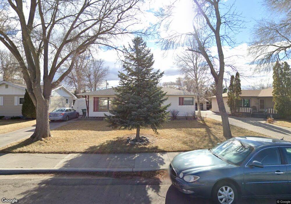
2014 Avenue D Billings, MT 59102
North Central Billings NeighborhoodEstimated Value: $293,000 - $369,653
3
Beds
2
Baths
2,288
Sq Ft
$151/Sq Ft
Est. Value
About This Home
This home is located at 2014 Avenue D, Billings, MT 59102 and is currently estimated at $344,913, approximately $150 per square foot. 2014 Avenue D is a home located in Yellowstone County with nearby schools including Rose Park School, Lewis & Clark Junior High School, and Billings Senior High School.
Ownership History
Date
Name
Owned For
Owner Type
Purchase Details
Closed on
Mar 27, 2013
Sold by
Moore Nathaniel J
Bought by
Whisenhunt Joshua R and Whisenhunt Jennifer M
Current Estimated Value
Home Financials for this Owner
Home Financials are based on the most recent Mortgage that was taken out on this home.
Original Mortgage
$144,000
Outstanding Balance
$101,736
Interest Rate
3.49%
Mortgage Type
New Conventional
Estimated Equity
$243,177
Purchase Details
Closed on
Jul 15, 2011
Sold by
Matzinger Dennis E and Matzinger Dalene K
Bought by
Moore Nathaniel J
Home Financials for this Owner
Home Financials are based on the most recent Mortgage that was taken out on this home.
Original Mortgage
$162,278
Interest Rate
4.37%
Mortgage Type
FHA
Create a Home Valuation Report for This Property
The Home Valuation Report is an in-depth analysis detailing your home's value as well as a comparison with similar homes in the area
Home Values in the Area
Average Home Value in this Area
Purchase History
| Date | Buyer | Sale Price | Title Company |
|---|---|---|---|
| Whisenhunt Joshua R | -- | None Available | |
| Moore Nathaniel J | -- | None Available |
Source: Public Records
Mortgage History
| Date | Status | Borrower | Loan Amount |
|---|---|---|---|
| Open | Whisenhunt Joshua R | $144,000 | |
| Previous Owner | Moore Nathaniel J | $162,278 |
Source: Public Records
Tax History
| Year | Tax Paid | Tax Assessment Tax Assessment Total Assessment is a certain percentage of the fair market value that is determined by local assessors to be the total taxable value of land and additions on the property. | Land | Improvement |
|---|---|---|---|---|
| 2025 | $3,314 | $373,500 | $50,259 | $323,241 |
| 2024 | $3,314 | $317,100 | $46,084 | $271,016 |
| 2023 | $3,311 | $317,100 | $46,084 | $271,016 |
| 2022 | $2,295 | $243,100 | $0 | $0 |
| 2021 | $2,779 | $243,100 | $0 | $0 |
| 2020 | $2,825 | $235,600 | $0 | $0 |
| 2019 | $2,706 | $235,600 | $0 | $0 |
| 2018 | $2,568 | $217,400 | $0 | $0 |
| 2017 | $2,505 | $217,400 | $0 | $0 |
| 2016 | $2,237 | $192,600 | $0 | $0 |
| 2015 | $2,192 | $192,600 | $0 | $0 |
| 2014 | $1,992 | $96,778 | $0 | $0 |
Source: Public Records
Map
Nearby Homes
- 1837 Avenue B
- 2211 Avenue B
- 1903 Belvedere Dr
- 2118 Dahlia Ln
- 2020 Lewis Ave
- 1102 19th St W
- 1807 S Mariposa Ln
- 2429 Avenue B
- 2434 Avenue B
- 2095 17th St W
- 1833 Iris Ln
- 2214 Meadowood St
- 2205 Yellowstone Ave
- 2443 Arnold Ln
- 2103 Poly Dr
- 2406 Woody Dr
- 1824 Yellowstone Ave
- 2316 Meadowood St
- 1021 25th St W
- 1927 Camden Dr
Your Personal Tour Guide
Ask me questions while you tour the home.