2014 Demerest Rd Broad Channel, NY 11693
Broad Channel NeighborhoodEstimated Value: $444,567
--
Bed
--
Bath
1,173
Sq Ft
$379/Sq Ft
Est. Value
About This Home
This home is located at 2014 Demerest Rd, Broad Channel, NY 11693 and is currently estimated at $444,567, approximately $379 per square foot. 2014 Demerest Rd is a home located in Queens County with nearby schools including P.S. 47 - Chris Galas and St Rose of Lima Catholic Academy.
Ownership History
Date
Name
Owned For
Owner Type
Purchase Details
Closed on
Nov 22, 2019
Sold by
Project Rebuild Inc
Bought by
Rivera Victor
Current Estimated Value
Purchase Details
Closed on
Jun 30, 2016
Sold by
Coll Joseph and Halligan Noreen
Bought by
Project Rebuild Inc
Purchase Details
Closed on
Jul 1, 1998
Sold by
Martin Robert and Martin Margaret
Bought by
Halligan Noreen and Coll Joseph
Home Financials for this Owner
Home Financials are based on the most recent Mortgage that was taken out on this home.
Original Mortgage
$49,849
Interest Rate
6.89%
Mortgage Type
Purchase Money Mortgage
Create a Home Valuation Report for This Property
The Home Valuation Report is an in-depth analysis detailing your home's value as well as a comparison with similar homes in the area
Home Values in the Area
Average Home Value in this Area
Purchase History
| Date | Buyer | Sale Price | Title Company |
|---|---|---|---|
| Rivera Victor | $500 | -- | |
| Project Rebuild Inc | $325,404 | -- | |
| Halligan Noreen | $87,500 | First American Title Ins Co |
Source: Public Records
Mortgage History
| Date | Status | Borrower | Loan Amount |
|---|---|---|---|
| Previous Owner | Halligan Noreen | $49,849 |
Source: Public Records
Tax History Compared to Growth
Tax History
| Year | Tax Paid | Tax Assessment Tax Assessment Total Assessment is a certain percentage of the fair market value that is determined by local assessors to be the total taxable value of land and additions on the property. | Land | Improvement |
|---|---|---|---|---|
| 2025 | $137 | $1,764 | $1,764 | -- |
| 2024 | $137 | $1,296 | $1,296 | -- |
| 2023 | $88 | $828 | $828 | $0 |
| 2022 | $73 | $360 | $360 | $0 |
| 2021 | $74 | $360 | $360 | $0 |
| 2020 | $70 | $330 | $330 | $0 |
| 2019 | $1,192 | $5,700 | $5,700 | $0 |
| 2018 | $1,132 | $7,015 | $2,221 | $4,794 |
| 2017 | $1,051 | $6,626 | $2,874 | $3,752 |
| 2016 | $1,015 | $6,626 | $2,874 | $3,752 |
| 2015 | $534 | $6,542 | $3,011 | $3,531 |
| 2014 | $534 | $6,194 | $2,851 | $3,343 |
Source: Public Records
Map
Nearby Homes
- 21 Van Brunt Rd
- 20 W 18th Rd
- 21 W 18th Rd
- 14-7 Cross Bay Blvd
- 12 W 14th Rd
- 12-38 Cross Bay Blvd
- 1317 Cross Bay Blvd
- 1234 Cross Bay Blvd
- 12-34 Cross Bay Blvd
- 33 W 12th Rd
- 1024 Cross Bay Blvd
- 27 W 11th Rd
- 33 W 11th Rd
- 35 W 11th Rd
- 20 W 10th Rd
- 22 W 10th Rd
- 815 Walton Rd
- 803 Cross Bay Blvd
- 357 Beach 88th St
- 362 Beach 88th St
- 20-12 Demerest Rd
- 2012 Demerest Rd
- 2016 Demerest Rd
- 2018 Demerest Rd
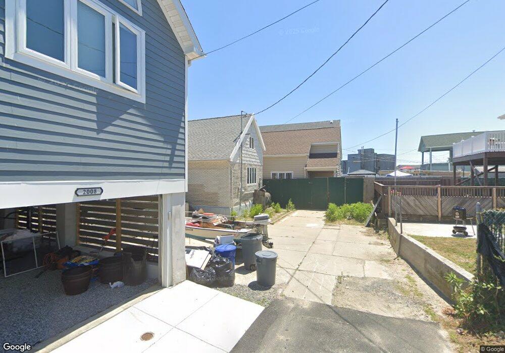
- 2008 Demerest Rd
- 2020 Demerest Rd
- 2006 Demerest Rd
- 15 Van Brunt Rd
- 2022 Demerest Rd
- 9 Van Brunt Rd
- 100 Place
- 20-11 Demerest Rd
- 21 E 21st Rd
- 21-15 Van Brunt Rd
- 2002 Demerest Rd
- 2024 Demerest Rd
- 2002 Demerest Rd Unit A
- 2002 Demerest Rd
- 35 Channel Rd
- 35 100 Place