2014 N Gibson Point Hernando, FL 34442
Estimated Value: $365,492 - $487,000
3
Beds
2
Baths
1,893
Sq Ft
$223/Sq Ft
Est. Value
About This Home
This home is located at 2014 N Gibson Point, Hernando, FL 34442 and is currently estimated at $422,123, approximately $222 per square foot. 2014 N Gibson Point is a home located in Citrus County with nearby schools including Forest Ridge Elementary School, Lecanto Middle School, and Lecanto High School.
Ownership History
Date
Name
Owned For
Owner Type
Purchase Details
Closed on
Mar 11, 2005
Sold by
Luther Daniel J and Luther Nancy C
Bought by
Conaty Thomas G and Conaty Susan J
Current Estimated Value
Purchase Details
Closed on
Feb 1, 2000
Bought by
Conaty Thomas G and Conaty Susan J
Create a Home Valuation Report for This Property
The Home Valuation Report is an in-depth analysis detailing your home's value as well as a comparison with similar homes in the area
Home Values in the Area
Average Home Value in this Area
Purchase History
| Date | Buyer | Sale Price | Title Company |
|---|---|---|---|
| Conaty Thomas G | $300,000 | Citrus Land Title Inc | |
| Conaty Thomas G | $39,900 | -- |
Source: Public Records
Tax History
| Year | Tax Paid | Tax Assessment Tax Assessment Total Assessment is a certain percentage of the fair market value that is determined by local assessors to be the total taxable value of land and additions on the property. | Land | Improvement |
|---|---|---|---|---|
| 2025 | $2,642 | $216,124 | -- | -- |
| 2024 | $2,576 | $210,033 | -- | -- |
| 2023 | $2,576 | $203,916 | $0 | $0 |
| 2022 | $2,408 | $197,977 | $0 | $0 |
| 2021 | $2,309 | $192,211 | $0 | $0 |
| 2020 | $2,281 | $207,784 | $34,000 | $173,784 |
| 2019 | $2,252 | $212,528 | $34,000 | $178,528 |
| 2018 | $2,226 | $212,665 | $34,000 | $178,665 |
| 2017 | $2,219 | $178,100 | $34,000 | $144,100 |
| 2016 | $2,247 | $174,437 | $34,000 | $140,437 |
| 2015 | $2,281 | $173,224 | $34,630 | $138,594 |
| 2014 | $2,332 | $171,849 | $36,966 | $134,883 |
Source: Public Records
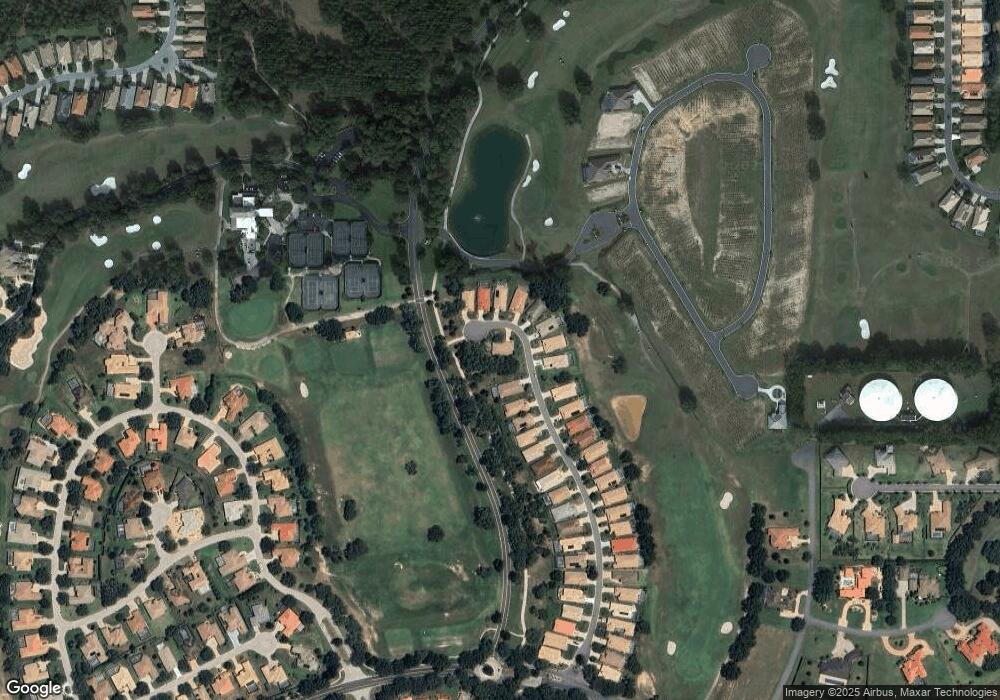
Map
Nearby Homes
- 2025 N Gibson Point
- 2308 N Peakview Loop
- 1861 N Eagle Chase Dr
- 1821 N Gibson Point
- 847 W Silver Meadow Loop
- 906 W Silver Meadow Loop
- 1683 N Shadowview Path
- 710 W Doerr Path
- 1196 W Diamond Shore Loop
- 559 W Doerr Path
- 1203 W Diamond Shore Loop
- 1141 W Pointe Vista Path
- 680 W Doerr Path
- 1105 W Pointe Vista Path Unit 43
- 1147 W Pointe Vista Path
- 916 W Skyview Crossing Dr
- 418 W Doerr Path
- 1134 W Diamond Shore Loop
- 631 W Doerr Path
- 635 W Doerr Path
- 1996 N Gibson Point
- 1980 N Gibson Point
- 2041 N Gibson Point
- 2049 N Gibson Point
- 2037 N Gibson Point
- 2001 N Gibson Point
- 2053 N Gibson Point
- 2013 N Gibson Point
- 1976 N Gibson Point
- 1977 N Gibson Point
- 1964 N Gibson Point
- 1961 N Gibson Point
- 1958 N Gibson Point
- 1953 N Gibson Point
- 1952 N Gibson Point
- 1947 N Gibson Point
- 1944 N Gibson Point
- 1939 N Gibson Point
- 1936 N Gibson Point
- 2070 N Peakview Loop
Your Personal Tour Guide
Ask me questions while you tour the home.