Estimated Value: $211,000 - $265,000
--
Bed
1
Bath
1,532
Sq Ft
$151/Sq Ft
Est. Value
About This Home
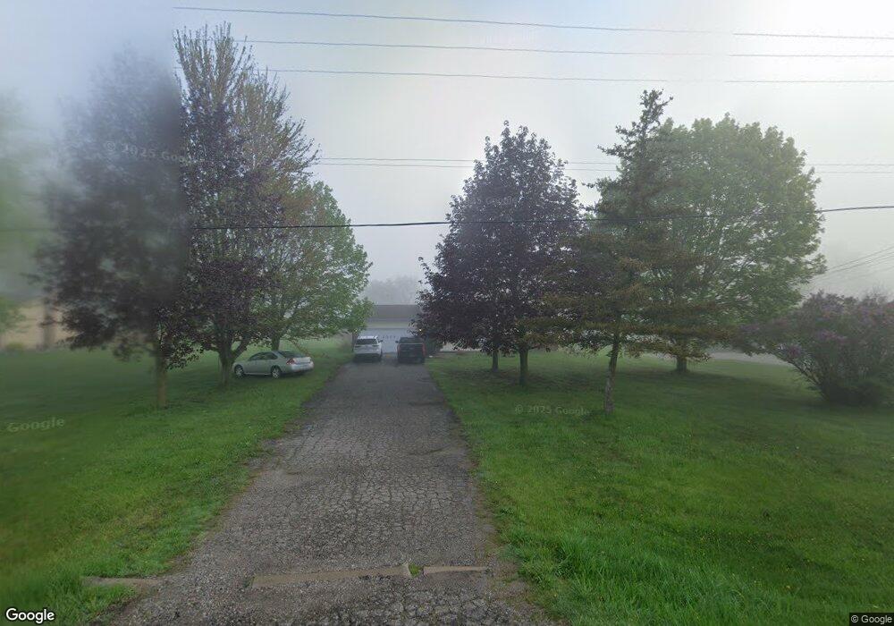
This home is located at 2014 W Reid Rd, Flint, MI 48507 and is currently estimated at $231,266, approximately $150 per square foot. 2014 W Reid Rd is a home located in Genesee County with nearby schools including Carman-Ainsworth High School, Woodland Park Academy, and Madison Academy - Elementary School.
Ownership History
Date
Name
Owned For
Owner Type
Purchase Details
Closed on
Jan 6, 2025
Sold by
Stratton Oaks Llc
Bought by
A2b Capital Llc
Current Estimated Value
Purchase Details
Closed on
Mar 27, 2023
Sold by
Williams David R
Bought by
Stratton Oak Llc
Home Financials for this Owner
Home Financials are based on the most recent Mortgage that was taken out on this home.
Original Mortgage
$162,600
Interest Rate
6.73%
Mortgage Type
Credit Line Revolving
Purchase Details
Closed on
Jun 6, 2005
Sold by
Norris Robin K and Norris William D
Bought by
Williams Daniel H and Williams Janice E
Home Financials for this Owner
Home Financials are based on the most recent Mortgage that was taken out on this home.
Original Mortgage
$116,200
Interest Rate
5.37%
Mortgage Type
Fannie Mae Freddie Mac
Create a Home Valuation Report for This Property
The Home Valuation Report is an in-depth analysis detailing your home's value as well as a comparison with similar homes in the area
Home Values in the Area
Average Home Value in this Area
Purchase History
| Date | Buyer | Sale Price | Title Company |
|---|---|---|---|
| A2b Capital Llc | -- | None Listed On Document | |
| Stratton Oak Llc | $122,500 | Mason Burgess Title | |
| Williams Daniel H | $135,000 | Title Michigan Agency Ltd |
Source: Public Records
Mortgage History
| Date | Status | Borrower | Loan Amount |
|---|---|---|---|
| Previous Owner | Stratton Oak Llc | $162,600 | |
| Previous Owner | Williams Daniel H | $116,200 |
Source: Public Records
Tax History Compared to Growth
Tax History
| Year | Tax Paid | Tax Assessment Tax Assessment Total Assessment is a certain percentage of the fair market value that is determined by local assessors to be the total taxable value of land and additions on the property. | Land | Improvement |
|---|---|---|---|---|
| 2025 | $5,067 | $90,000 | $0 | $0 |
| 2024 | $3,337 | $82,200 | $0 | $0 |
| 2023 | $1,127 | $86,500 | $0 | $0 |
| 2022 | $1,815 | $78,500 | $0 | $0 |
| 2021 | $1,787 | $74,200 | $0 | $0 |
| 2020 | $1,012 | $69,500 | $0 | $0 |
| 2019 | $998 | $65,400 | $0 | $0 |
| 2018 | $1,643 | $59,500 | $0 | $0 |
| 2017 | $1,576 | $57,900 | $0 | $0 |
| 2016 | $1,603 | $53,400 | $0 | $0 |
| 2015 | $1,457 | $46,800 | $0 | $0 |
| 2014 | $994 | $43,900 | $0 | $0 |
| 2012 | -- | $40,500 | $40,500 | $0 |
Source: Public Records
Map
Nearby Homes
- 1395 Windwood Ln
- 1389 Dellmont Dr
- 0 Taylor Dr Unit 50159493
- 1283 Woodnoll Dr
- 7191 Brittwood Ln
- 6042 Birch Dr
- 12000 Murray St Unit 67
- 7471 Brewer Rd
- 7400 Lawrence St
- 35010 Mitchell St Unit 210
- 41003 Williams St Unit 242
- 3010 Murray St Unit 18
- 3006 Murray St Unit 16
- 1195 Alton Ave
- 2144 W Hill Rd
- 22003 Wilson St Unit 128
- 7444 Rory St
- 8019 Bradbury Ln
- 8018 Bradbury Ln
- 1203 Froman St
- 2004 W Reid Rd
- V/L W Reid Rd
- 2028 W Reid Rd
- 2036 W Reid Rd
- 1516 W Reid Rd
- 1506 W Reid Rd
- 2044 W Reid Rd
- 2052 W Reid Rd
- 2041 W Reid Rd
- 2062 W Reid Rd
- 1494 W Reid Rd
- 2055 W Reid Rd
- 1525 W Reid Rd
- 2015 W Reid Rd
- 2015 W Reid Rd
- 2076 W Reid Rd
- 1480 W Reid Rd
- 2071 W Reid Rd
- 0 W Reid Rd Unit 4906973
- 0 W Reid Rd Unit R214079184