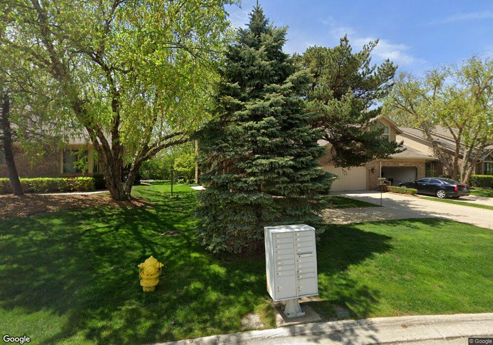
20140 Saint Andrews Dr Olympia Fields, IL 60461
Estimated Value: $328,000 - $343,000
3
Beds
3
Baths
2,600
Sq Ft
$129/Sq Ft
Est. Value
About This Home
This home is located at 20140 Saint Andrews Dr, Olympia Fields, IL 60461 and is currently estimated at $335,820, approximately $129 per square foot. 20140 Saint Andrews Dr is a home located in Cook County with nearby schools including Western Avenue Elementary School, Parker Junior High School, and Infant Jesus of Prague School.
Ownership History
Date
Name
Owned For
Owner Type
Purchase Details
Closed on
Aug 16, 2023
Sold by
Muchnik Melvyn M and Muchnik Janet R
Bought by
Melvyn M Muchnik Revocable Trust and Janet R Muchnik Revocable Trust
Current Estimated Value
Purchase Details
Closed on
Sep 23, 2015
Sold by
Nordbrock Patricia Martin
Bought by
Muchnik Melvyn M and Muchnik Janet R
Home Financials for this Owner
Home Financials are based on the most recent Mortgage that was taken out on this home.
Original Mortgage
$180,000
Interest Rate
3.91%
Mortgage Type
New Conventional
Purchase Details
Closed on
Aug 23, 2010
Sold by
Harris Na
Bought by
Patricia Martin Nordbrock Trust
Create a Home Valuation Report for This Property
The Home Valuation Report is an in-depth analysis detailing your home's value as well as a comparison with similar homes in the area
Home Values in the Area
Average Home Value in this Area
Purchase History
| Date | Buyer | Sale Price | Title Company |
|---|---|---|---|
| Melvyn M Muchnik Revocable Trust | -- | None Listed On Document | |
| Muchnik Melvyn M | $212,500 | Attorney | |
| Patricia Martin Nordbrock Trust | $250,000 | Pntn |
Source: Public Records
Mortgage History
| Date | Status | Borrower | Loan Amount |
|---|---|---|---|
| Previous Owner | Muchnik Melvyn M | $180,000 |
Source: Public Records
Tax History Compared to Growth
Tax History
| Year | Tax Paid | Tax Assessment Tax Assessment Total Assessment is a certain percentage of the fair market value that is determined by local assessors to be the total taxable value of land and additions on the property. | Land | Improvement |
|---|---|---|---|---|
| 2024 | $9,005 | $27,719 | $2,336 | $25,383 |
| 2023 | $9,357 | $27,719 | $2,336 | $25,383 |
| 2022 | $9,357 | $23,666 | $4,283 | $19,383 |
| 2021 | $9,460 | $23,666 | $4,283 | $19,383 |
| 2020 | $8,912 | $23,666 | $4,283 | $19,383 |
| 2019 | $6,546 | $19,123 | $3,894 | $15,229 |
| 2018 | $6,364 | $19,123 | $3,894 | $15,229 |
| 2017 | $6,266 | $19,123 | $3,894 | $15,229 |
| 2016 | $7,432 | $19,558 | $3,504 | $16,054 |
| 2015 | $9,828 | $20,214 | $3,504 | $16,710 |
| 2014 | $9,583 | $20,214 | $3,504 | $16,710 |
| 2013 | $9,765 | $22,506 | $3,504 | $19,002 |
Source: Public Records
Map
Nearby Homes
- 2450 Saint Andrews Dr
- 20194 Augusta Dr
- 20015 Delphi Dr
- 2904 Athena Ct
- 2908 Athena Ct
- 634 Lexington Dr
- 2716 Chariot Ln
- 2700 Chariot Ln
- 1833 Pheasant Ct
- 20313 Kedzie Ave
- 531 W Winchester Rd
- 213 Cove Dr
- 2937 Kathleen Ln
- 2925 Dartmouth Ln
- 540 W Winchester Rd
- 2935 Dartmouth Ln
- 823 Bradoc St
- 20832 Sparta Ln
- 1430 Brassie Ave
- 523 8th St
- 20130 Saint Andrews Dr
- 20130 St Andrews Dr
- 20150 Saint Andrews Dr
- 20120 Saint Andrews Dr
- 20160 St Andrews Dr Unit 3
- 20170 Saint Andrews Dr
- 2529 Saint Andrews Dr
- 20180 Saint Andrews Dr
- 20082 Tam o Shanter Ct
- 2525 Saint Andrews Dr
- 20072 Tam o Shanter Ct
- 2521 Saint Andrews Dr
- 20203 Saint Andrews Dr
- 20091 Tam o Shanter Ct
- 20062 Tam o Shanter Ct
- 20212 Saint Andrews Dr
- 20081 Tam o Shanter Ct
- 20071 Tam o Shanter Ct
- 2511 Saint Andrews Dr
- 20061 Tam o Shanter Ct