20146 Us Highway 10 E Clinton, MT 59825
Estimated Value: $584,000 - $649,575
3
Beds
2
Baths
1,700
Sq Ft
$363/Sq Ft
Est. Value
About This Home
This home is located at 20146 Us Highway 10 E, Clinton, MT 59825 and is currently estimated at $616,788, approximately $362 per square foot. 20146 Us Highway 10 E is a home located in Missoula County with nearby schools including Clinton Elementary School and Sentinel High School.
Ownership History
Date
Name
Owned For
Owner Type
Purchase Details
Closed on
Oct 20, 2010
Sold by
Thick Kenneth D and Thick Sheri A
Bought by
Holbrook Saxon L
Current Estimated Value
Home Financials for this Owner
Home Financials are based on the most recent Mortgage that was taken out on this home.
Original Mortgage
$216,000
Outstanding Balance
$142,247
Interest Rate
4.31%
Mortgage Type
New Conventional
Estimated Equity
$474,541
Create a Home Valuation Report for This Property
The Home Valuation Report is an in-depth analysis detailing your home's value as well as a comparison with similar homes in the area
Home Values in the Area
Average Home Value in this Area
Purchase History
| Date | Buyer | Sale Price | Title Company |
|---|---|---|---|
| Holbrook Saxon L | -- | First American Title Company |
Source: Public Records
Mortgage History
| Date | Status | Borrower | Loan Amount |
|---|---|---|---|
| Open | Holbrook Saxon L | $216,000 |
Source: Public Records
Tax History Compared to Growth
Tax History
| Year | Tax Paid | Tax Assessment Tax Assessment Total Assessment is a certain percentage of the fair market value that is determined by local assessors to be the total taxable value of land and additions on the property. | Land | Improvement |
|---|---|---|---|---|
| 2025 | $4,067 | $594,292 | $273,552 | $320,740 |
| 2024 | $5,624 | $470,639 | $183,519 | $287,120 |
| 2023 | $3,943 | $577,549 | $183,519 | $394,030 |
| 2022 | $3,918 | $387,251 | $0 | $0 |
| 2021 | $3,817 | $387,251 | $0 | $0 |
| 2020 | $3,845 | $379,429 | $0 | $0 |
| 2019 | $3,824 | $379,429 | $0 | $0 |
| 2018 | $3,401 | $353,739 | $0 | $0 |
| 2017 | $3,427 | $353,739 | $0 | $0 |
| 2016 | $3,139 | $337,178 | $0 | $0 |
| 2015 | $2,954 | $337,178 | $0 | $0 |
| 2014 | $2,818 | $179,659 | $0 | $0 |
Source: Public Records
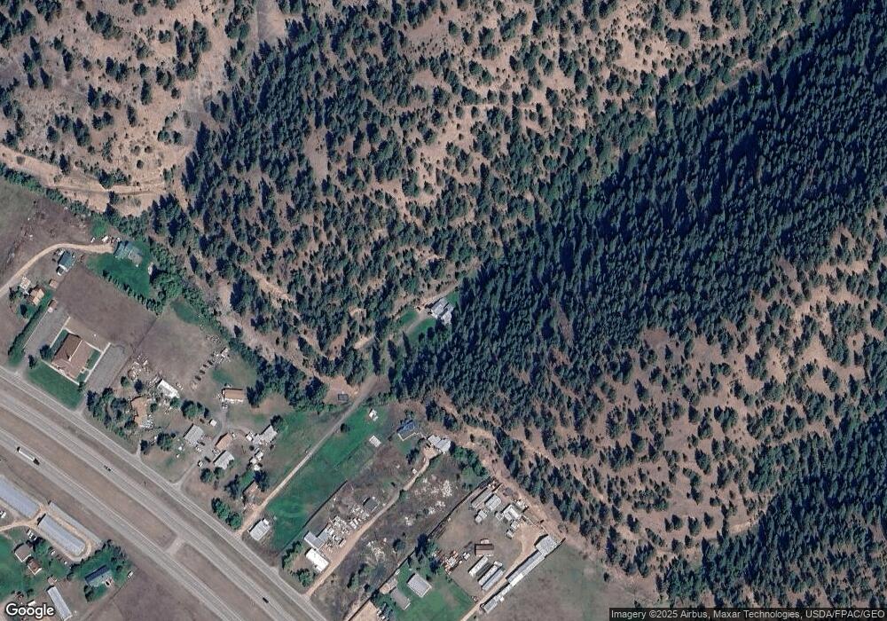
Map
Nearby Homes
- 20622 Us Highway 10 E
- Nhn Us Highway 10 E
- 11055 Silver St
- NKA Dirty Ike Creek Rd
- 22255 Wallace Creek Rd
- Lot 13 Pamin Loop
- 25575 Patter Spur Rd S
- Lot 15 Muddler Ct
- 5830 Memory Ln
- Lot 16 Stonefly Rd
- Lot 17 Caddisfly Ct
- Lot 11 Stonefly Rd
- Lot 12 Stonefly Rd
- Lot 9 Stonefly Rd
- 13655 Turah Rd
- 24570 Stonefly Rd
- Lot 2 Caddisfly Ct
- 14297 Caddisfly Ct
- 13505 Turah Rd
- 48 Rock Creek Rd
- 20150 Us Highway 10 E
- 20100 Us Highway 10 E
- 20060 Us Highway 10 E
- 20220 Us Highway 10 E
- 19920 Us Highway 10 E
- 20320 Us Highway 10 E
- 19850 Us Highway 10 E
- 9060 Clown Ln
- 20380 Us Highway 10 E
- 9050 Clown Ln
- 9078 Clown Ln
- 20360 Us Highway 10 E
- 20350 Us Highway 10 E
- 19872 Us Highway 10 E
- 9200 Clown Ln
- 20400 Us Highway 10 E
- 20400 Us Highway 10 E
- 9222 Clown Ln
- 20430 Us Highway 10 E
- 20430 Us Hwy 10 E