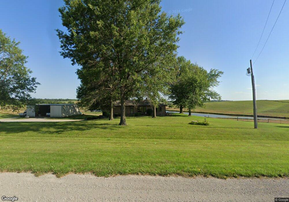
20147 Highway 2 Centerville, IA 52544
Estimated Value: $326,000 - $904,000
3
Beds
2
Baths
1,842
Sq Ft
$290/Sq Ft
Est. Value
About This Home
This home is located at 20147 Highway 2, Centerville, IA 52544 and is currently estimated at $533,959, approximately $289 per square foot. 20147 Highway 2 is a home located in Appanoose County with nearby schools including Centerville High School, St. Mary's Catholic School, and Heritage Christian School.
Ownership History
Date
Name
Owned For
Owner Type
Purchase Details
Closed on
Mar 3, 2025
Sold by
Revoca Howard and Revoca Joyce
Bought by
Morris Katherine Lynne
Current Estimated Value
Home Financials for this Owner
Home Financials are based on the most recent Mortgage that was taken out on this home.
Original Mortgage
$300,150
Outstanding Balance
$212,711
Interest Rate
5%
Estimated Equity
$321,248
Create a Home Valuation Report for This Property
The Home Valuation Report is an in-depth analysis detailing your home's value as well as a comparison with similar homes in the area
Home Values in the Area
Average Home Value in this Area
Purchase History
| Date | Buyer | Sale Price | Title Company |
|---|---|---|---|
| Morris Katherine Lynne | $752,000 | None Listed On Document | |
| Morris Katherine Lynne | $752,000 | None Listed On Document |
Source: Public Records
Mortgage History
| Date | Status | Borrower | Loan Amount |
|---|---|---|---|
| Open | Morris Katherine Lynne | $300,150 | |
| Closed | Morris Katherine Lynne | $300,150 | |
| Closed | Morris Katherine Lynne | $414,236 |
Source: Public Records
Tax History Compared to Growth
Tax History
| Year | Tax Paid | Tax Assessment Tax Assessment Total Assessment is a certain percentage of the fair market value that is determined by local assessors to be the total taxable value of land and additions on the property. | Land | Improvement |
|---|---|---|---|---|
| 2025 | $3,594 | $312,990 | $560 | $312,430 |
| 2024 | $3,594 | $265,080 | $420 | $264,660 |
| 2023 | $3,664 | $265,080 | $420 | $264,660 |
| 2022 | $3,038 | $203,830 | $320 | $203,510 |
| 2021 | $3,038 | $195,380 | $350 | $195,030 |
| 2020 | $2,764 | $162,440 | $360 | $162,080 |
| 2019 | $2,508 | $137,810 | $0 | $0 |
| 2018 | $2,436 | $137,810 | $0 | $0 |
| 2017 | $242,000 | $136,080 | $0 | $0 |
| 2016 | $2,242 | $136,080 | $0 | $0 |
| 2015 | $2,242 | $135,960 | $0 | $0 |
| 2014 | $2,318 | $135,960 | $0 | $0 |
Source: Public Records
Map
Nearby Homes
- 536 N 3rd St
- 1010 W Washington St
- 2028 Golfview Cir
- 632 N 6th St
- 512 N 6th St
- 2000 Quail Ridge
- 718 W Madison St
- 1001 Valley Dr
- 638 N 7th St
- 627 N 7th St
- 613 W Maple St
- 610 N Park Ave
- 512 N Park Ave
- 508 N Park Ave
- 605 N Park Ave
- 531 N Park Ave
- 403 W Van Buren St
- 795 W Wall St
- 309 W Washington St
- 715 N 11th St
- 20179 Highway 2
- 20179 Highway 2
- 20122 Highway 2
- 19834 Highway 2
- 20748 200th Ave
- 19827 Highway 2
- 20465 Old Highway 2
- 19749 Highway 2
- 19749 Highway 2
- 20403 Highway 2
- 20414 Old Highway 2
- 19739 Highway 2
- 19727 Highway 2
- 19579 Highway 2
- 1403 W Maple St
- 19507 Highway 2
- 19507 Hwy 2
- 19507 Highway 2
- 19507 Highway 2
- 1500 W Central Ave