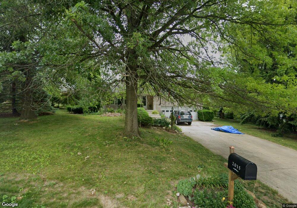
2015 Black Oak Dr Red Lion, PA 17356
Estimated Value: $321,000 - $369,000
3
Beds
2
Baths
2,306
Sq Ft
$146/Sq Ft
Est. Value
About This Home
This home is located at 2015 Black Oak Dr, Red Lion, PA 17356 and is currently estimated at $336,885, approximately $146 per square foot. 2015 Black Oak Dr is a home located in York County with nearby schools including Locust Grove Elementary School, Red Lion Area Junior High School, and Red Lion Area Senior High School.
Ownership History
Date
Name
Owned For
Owner Type
Purchase Details
Closed on
May 15, 2002
Sold by
Smith Randy W and Smith Margery A
Bought by
Poet Stuart E and Poet Patricia
Current Estimated Value
Home Financials for this Owner
Home Financials are based on the most recent Mortgage that was taken out on this home.
Original Mortgage
$131,100
Outstanding Balance
$56,214
Interest Rate
7.15%
Estimated Equity
$280,671
Purchase Details
Closed on
Nov 15, 2000
Sold by
Blosser Jerry W and Blosser Gail M
Bought by
Smith Randy W and Smith Margery A
Home Financials for this Owner
Home Financials are based on the most recent Mortgage that was taken out on this home.
Original Mortgage
$113,200
Interest Rate
7.78%
Create a Home Valuation Report for This Property
The Home Valuation Report is an in-depth analysis detailing your home's value as well as a comparison with similar homes in the area
Home Values in the Area
Average Home Value in this Area
Purchase History
| Date | Buyer | Sale Price | Title Company |
|---|---|---|---|
| Poet Stuart E | $138,000 | -- | |
| Smith Randy W | $141,500 | -- |
Source: Public Records
Mortgage History
| Date | Status | Borrower | Loan Amount |
|---|---|---|---|
| Open | Poet Stuart E | $131,100 | |
| Previous Owner | Smith Randy W | $113,200 | |
| Closed | Smith Randy W | $21,200 |
Source: Public Records
Tax History Compared to Growth
Tax History
| Year | Tax Paid | Tax Assessment Tax Assessment Total Assessment is a certain percentage of the fair market value that is determined by local assessors to be the total taxable value of land and additions on the property. | Land | Improvement |
|---|---|---|---|---|
| 2025 | $4,785 | $153,070 | $36,170 | $116,900 |
| 2024 | $4,597 | $153,070 | $36,170 | $116,900 |
| 2023 | $4,597 | $153,070 | $36,170 | $116,900 |
| 2022 | $4,597 | $153,070 | $36,170 | $116,900 |
| 2021 | $4,466 | $153,070 | $36,170 | $116,900 |
| 2020 | $4,466 | $153,070 | $36,170 | $116,900 |
| 2019 | $4,451 | $153,070 | $36,170 | $116,900 |
| 2018 | $4,428 | $153,070 | $36,170 | $116,900 |
| 2017 | $4,390 | $153,070 | $36,170 | $116,900 |
| 2016 | $0 | $153,070 | $36,170 | $116,900 |
| 2015 | -- | $153,070 | $36,170 | $116,900 |
| 2014 | -- | $153,070 | $36,170 | $116,900 |
Source: Public Records
Map
Nearby Homes
- 445 Steinfelt Rd
- 1625 Rosebrook Dr
- Woodford Plan at Kensington
- Sebastian Plan at Kensington
- Harrison Plan at Kensington
- Savannah Plan at Kensington
- Covington Plan at Kensington
- Nottingham Plan at Kensington
- Brentwood Plan at Kensington
- Caldwell Plan at Kensington
- Ethan Plan at Kensington
- Lachlan Plan at Kensington
- Kipling Plan at Kensington
- Addison Plan at Kensington
- Augusta Plan at Kensington
- Andrews Plan at Kensington
- Devonshire Plan at Kensington
- Parker Plan at Kensington
- Arcadia Plan at Kensington
- Hawthorne Plan at Kensington
- 2013 Black Oak Dr
- 2017 Black Oak Dr
- 3012 Black Oak Ct
- 2018 Black Oak Dr
- 2011 Black Oak Dr
- 2016 Black Oak Dr
- 2022 Black Oak Dr
- 2014 Black Oak Dr
- 3010 Black Oak Ct
- 3002 Black Oak Ct
- 2009 Black Oak Dr
- 2012 Black Oak Dr
- 3008 Black Oak Ct
- 3004 Black Oak Ct
- Lot Black Oak Dr
- 2010 Black Oak Dr
- 2007 Black Oak Dr
- 155 Wynshire Ln
- 135 Wynshire Ln
- 902 Windsor Rd