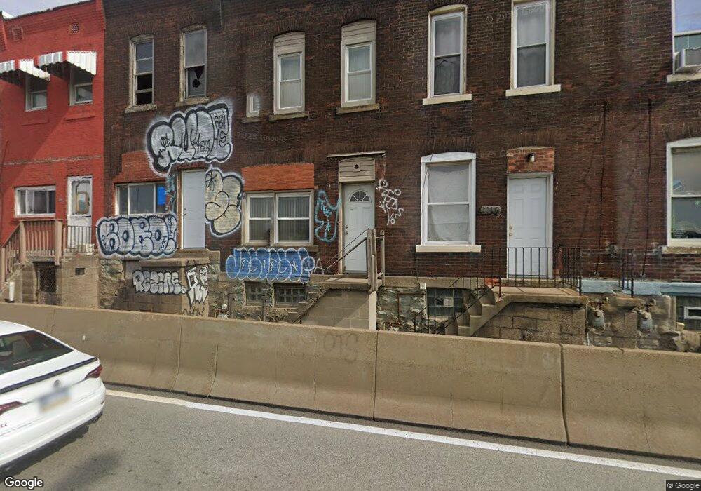
2015 Blvd of the Allies Pittsburgh, PA 15219
Bluff NeighborhoodEstimated Value: $76,849 - $140,000
2
Beds
1
Bath
1,009
Sq Ft
$118/Sq Ft
Est. Value
About This Home
This home is located at 2015 Blvd of the Allies, Pittsburgh, PA 15219 and is currently estimated at $118,712, approximately $117 per square foot. 2015 Blvd of the Allies is a home located in Allegheny County with nearby schools including Pittsburgh Weil PreK-5, Pittsburgh Milliones 6-12, and Central Academy.
Ownership History
Date
Name
Owned For
Owner Type
Purchase Details
Closed on
Jan 31, 2020
Sold by
Central Planning Corp
Bought by
Tustin House Llc
Current Estimated Value
Purchase Details
Closed on
Oct 17, 2007
Sold by
First Commonwealth Bank
Bought by
Murphy and Weapons Rewis Weapons
Purchase Details
Closed on
Dec 5, 2003
Sold by
E Q T Investments Inc
Bought by
Simon Richard
Home Financials for this Owner
Home Financials are based on the most recent Mortgage that was taken out on this home.
Original Mortgage
$39,000
Interest Rate
6.03%
Mortgage Type
New Conventional
Purchase Details
Closed on
Mar 21, 2000
Sold by
Ketter Russ
Bought by
Patricia Criticos & Thomas Mower Partner
Purchase Details
Closed on
Jan 27, 1997
Sold by
Ketter Russ and Ketter Dale R
Bought by
Ketter Russ and Lehrman Jeanne B
Purchase Details
Closed on
Sep 3, 1996
Sold by
Wightman Louise
Bought by
Ketter Russ
Create a Home Valuation Report for This Property
The Home Valuation Report is an in-depth analysis detailing your home's value as well as a comparison with similar homes in the area
Home Values in the Area
Average Home Value in this Area
Purchase History
| Date | Buyer | Sale Price | Title Company |
|---|---|---|---|
| Tustin House Llc | $67,000 | Attorney | |
| Murphy | $9,000 | -- | |
| Simon Richard | $43,000 | -- | |
| Patricia Criticos & Thomas Mower Partner | $1,759 | -- | |
| Ketter Russ | -- | -- | |
| Ketter Russ | -- | -- |
Source: Public Records
Mortgage History
| Date | Status | Borrower | Loan Amount |
|---|---|---|---|
| Previous Owner | Simon Richard | $39,000 |
Source: Public Records
Tax History Compared to Growth
Tax History
| Year | Tax Paid | Tax Assessment Tax Assessment Total Assessment is a certain percentage of the fair market value that is determined by local assessors to be the total taxable value of land and additions on the property. | Land | Improvement |
|---|---|---|---|---|
| 2025 | $189 | $8,200 | $5,000 | $3,200 |
| 2024 | $189 | $8,200 | $5,000 | $3,200 |
| 2023 | $189 | $8,200 | $5,000 | $3,200 |
| 2022 | $186 | $8,200 | $5,000 | $3,200 |
| 2021 | $39 | $8,200 | $5,000 | $3,200 |
| 2020 | $186 | $8,200 | $5,000 | $3,200 |
| 2019 | $186 | $8,200 | $5,000 | $3,200 |
| 2018 | $39 | $8,200 | $5,000 | $3,200 |
| 2017 | $186 | $8,200 | $5,000 | $3,200 |
| 2016 | $39 | $8,200 | $5,000 | $3,200 |
| 2015 | $39 | $8,200 | $5,000 | $3,200 |
| 2014 | $119 | $8,200 | $5,000 | $3,200 |
Source: Public Records
Map
Nearby Homes
- 2013 Blvd of the Allies
- 23 Seneca St
- 114 Seneca St
- 2043 Wyandotte St
- 1723 Locust St
- 26 Gazzam St
- 1858 Riverside Mews Unit 22
- 24 S 19th St
- 20 S 18th St
- 1821 Merriman Way
- 1536 Colwell St Unit 1
- 1536 Colwell St Unit 4
- 1815 Wharton St
- 34 S 18th St
- 2101 Wharton St
- 2130 Merriman Way
- 2132 Merriman Way
- 327 Dinwiddie St
- 2134 Merriman Way
- 2136 Merriman Way
- 2017 Blvd of the Allies
- 2011 Blvd of the Allies
- 2009 Blvd of the Allies
- 2007 Blvd of the Allies
- 2019 Blvd of the Allies
- 2005 Blvd of the Allies
- 315 Jumonville St
- 2003 Blvd of the Allies
- 313 Jumonville St
- 2001 Blvd of the Allies
- 311 Jumonville St
- 309 Jumonville St
- 2006 Tustin St
- 307 Jumonville St
- 2012 Tustin St
- 2014 Tustin St
- 2016 Tustin St
- 2018 Tustin St
- 2008 Tustin St
- 2010 Tustin St