2015 Burnt Hickory Rd NW Marietta, GA 30064
West Cobb NeighborhoodEstimated Value: $1,450,415 - $1,639,000
5
Beds
6
Baths
6,337
Sq Ft
$244/Sq Ft
Est. Value
About This Home
This home is located at 2015 Burnt Hickory Rd NW, Marietta, GA 30064 and is currently estimated at $1,544,472, approximately $243 per square foot. 2015 Burnt Hickory Rd NW is a home located in Cobb County with nearby schools including Hayes Elementary School, Pine Mountain Middle School, and Kennesaw Mountain High School.
Ownership History
Date
Name
Owned For
Owner Type
Purchase Details
Closed on
May 17, 2013
Sold by
Massengill Nicholas W
Bought by
Massengill Angela M
Current Estimated Value
Purchase Details
Closed on
Jan 7, 2013
Sold by
Massengill Angela M
Bought by
Massengill Nicholas W
Home Financials for this Owner
Home Financials are based on the most recent Mortgage that was taken out on this home.
Original Mortgage
$372,500
Interest Rate
3.35%
Mortgage Type
New Conventional
Purchase Details
Closed on
Jun 13, 2011
Sold by
Massengill Angela M
Bought by
Massengill Angela M and Massengill Nicholas W
Home Financials for this Owner
Home Financials are based on the most recent Mortgage that was taken out on this home.
Original Mortgage
$400,000
Interest Rate
4.71%
Mortgage Type
New Conventional
Create a Home Valuation Report for This Property
The Home Valuation Report is an in-depth analysis detailing your home's value as well as a comparison with similar homes in the area
Home Values in the Area
Average Home Value in this Area
Purchase History
| Date | Buyer | Sale Price | Title Company |
|---|---|---|---|
| Massengill Angela M | -- | -- | |
| Massengill Nicholas W | -- | -- | |
| Massengill Angela M | -- | -- |
Source: Public Records
Mortgage History
| Date | Status | Borrower | Loan Amount |
|---|---|---|---|
| Previous Owner | Massengill Nicholas W | $372,500 | |
| Previous Owner | Massengill Angela M | $400,000 |
Source: Public Records
Tax History Compared to Growth
Tax History
| Year | Tax Paid | Tax Assessment Tax Assessment Total Assessment is a certain percentage of the fair market value that is determined by local assessors to be the total taxable value of land and additions on the property. | Land | Improvement |
|---|---|---|---|---|
| 2024 | $3,068 | $542,344 | $89,040 | $453,304 |
| 2023 | $2,789 | $517,736 | $89,040 | $428,696 |
| 2022 | $2,530 | $362,336 | $41,976 | $320,360 |
| 2021 | $9,189 | $362,336 | $41,976 | $320,360 |
| 2020 | $9,175 | $361,700 | $41,340 | $320,360 |
| 2019 | $9,175 | $361,700 | $41,340 | $320,360 |
| 2018 | $8,863 | $347,416 | $41,340 | $306,076 |
| 2017 | $8,459 | $340,684 | $34,608 | $306,076 |
| 2016 | $8,476 | $340,684 | $34,608 | $306,076 |
| 2015 | $8,189 | $320,524 | $34,608 | $285,916 |
| 2014 | $8,239 | $320,524 | $0 | $0 |
Source: Public Records
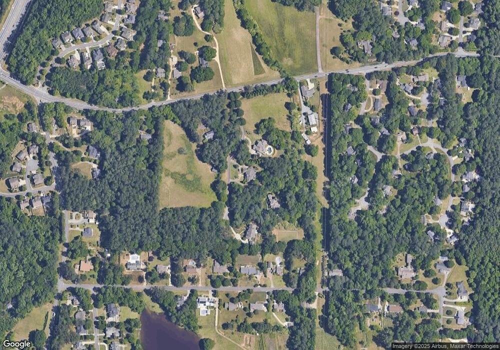
Map
Nearby Homes
- 2150 Unity Trail NW
- 510 Towneside Ln
- 302 Summer Garden Dr
- 2139 Bramlett Place NW
- 1803 Stone Bridge Way
- 606 Tabbystone St NW
- 608 Tabbystone St NW Unit 2
- 234 Everleigh Way
- 319 Summer Garden Dr
- 761 Hardage Farm Dr NW
- 2358 New Salem Trace
- 116 Mount Calvary Rd NW
- 799 Barrett Village Ln NW
- 2760 Granite Way NW
- 396 Battlefield Creek Dr
- 741 Crossfire Ridge NW
- 1981 Village Round NW
- 2003 Burnt Hickory Rd NW
- 2021 Burnt Hickory Rd NW
- 2027 Burnt Hickory Rd NW
- 2027 Burnt Hickory Rd NW
- 410 Fleetwood Trail NW
- 2110 Cannon Way NW
- 2130 Cannon Way NW Unit 1
- 0 Fleetwood Trail Unit 8836408
- 0 Fleetwood Trail Unit 7580293
- 0 Fleetwood Trail
- 1991 Burnt Hickory Rd NW
- 516 Hardage Trace NW
- 406 Fleetwood Trail NW
- 2140 Cannon Way NW
- 512 Hardage Trace NW
- 2100 Cannon Way NW
- 420 Fleetwood Trail NW
- 508 Hardage Trace NW
- 2040 Burnt Hickory Rd NW
- 2060 Burnt Hickory Rd NW