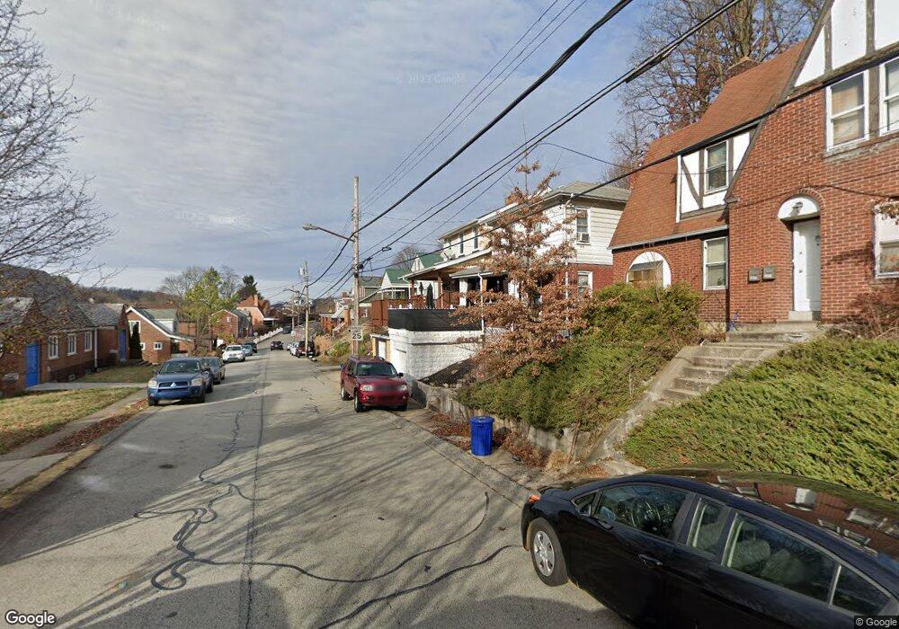
2015 Dartmore St Pittsburgh, PA 15210
Carrick NeighborhoodEstimated Value: $103,000 - $182,000
3
Beds
1
Bath
1,148
Sq Ft
$116/Sq Ft
Est. Value
About This Home
This home is located at 2015 Dartmore St, Pittsburgh, PA 15210 and is currently estimated at $133,038, approximately $115 per square foot. 2015 Dartmore St is a home located in Allegheny County with nearby schools including Pittsburgh Concord K-5, Pittsburgh South Brook, and Pittsburgh Carrick High School.
Ownership History
Date
Name
Owned For
Owner Type
Purchase Details
Closed on
May 2, 2022
Sold by
Chiang Meng-Chun
Bought by
2015 Dartmore Trust
Current Estimated Value
Home Financials for this Owner
Home Financials are based on the most recent Mortgage that was taken out on this home.
Original Mortgage
$50,000
Outstanding Balance
$47,127
Interest Rate
4.42%
Mortgage Type
New Conventional
Estimated Equity
$85,911
Purchase Details
Closed on
Jul 20, 2009
Sold by
Luptak Lisa M
Bought by
Chiang Meng Chun
Purchase Details
Closed on
Jul 22, 2004
Sold by
D N S Holding L L C
Bought by
Luptak Lisa
Home Financials for this Owner
Home Financials are based on the most recent Mortgage that was taken out on this home.
Original Mortgage
$63,000
Interest Rate
6.28%
Mortgage Type
New Conventional
Purchase Details
Closed on
Mar 18, 2002
Sold by
Weckerle Roy O
Bought by
Dns Holdings Llc
Create a Home Valuation Report for This Property
The Home Valuation Report is an in-depth analysis detailing your home's value as well as a comparison with similar homes in the area
Home Values in the Area
Average Home Value in this Area
Purchase History
| Date | Buyer | Sale Price | Title Company |
|---|---|---|---|
| 2015 Dartmore Trust | $100,000 | -- | |
| 2015 Dartmore Trust | $100,000 | -- | |
| Chiang Meng Chun | $51,500 | -- | |
| Luptak Lisa | $44,000 | -- | |
| Dns Holdings Llc | $22,500 | -- |
Source: Public Records
Mortgage History
| Date | Status | Borrower | Loan Amount |
|---|---|---|---|
| Open | 2015 Dartmore Trust | $50,000 | |
| Previous Owner | Luptak Lisa | $63,000 |
Source: Public Records
Tax History Compared to Growth
Tax History
| Year | Tax Paid | Tax Assessment Tax Assessment Total Assessment is a certain percentage of the fair market value that is determined by local assessors to be the total taxable value of land and additions on the property. | Land | Improvement |
|---|---|---|---|---|
| 2025 | $1,083 | $47,000 | $15,900 | $31,100 |
| 2024 | $1,083 | $47,000 | $15,900 | $31,100 |
| 2023 | $1,083 | $47,000 | $15,900 | $31,100 |
| 2022 | $659 | $29,000 | $15,900 | $13,100 |
| 2021 | $570 | $29,000 | $15,900 | $13,100 |
| 2020 | $656 | $29,000 | $15,900 | $13,100 |
| 2019 | $656 | $29,000 | $15,900 | $13,100 |
| 2018 | $434 | $29,000 | $15,900 | $13,100 |
| 2017 | $656 | $29,000 | $15,900 | $13,100 |
| 2016 | $137 | $29,000 | $15,900 | $13,100 |
| 2015 | $137 | $29,000 | $15,900 | $13,100 |
| 2014 | $642 | $29,000 | $15,900 | $13,100 |
Source: Public Records
Map
Nearby Homes
- 1928 Dartmore St
- 2082 Walton Ave
- 373 Copperfield Ave
- 2032 Jacob St
- 331 Redwood St
- 309 Parkfield St
- 42 Queenston St
- 2220 Jacob St
- 1572 Brookline Blvd
- 1725 Hallowell St
- 1641 Mount Joseph St
- 0 Ballinger St Unit 1705904
- 404 Ariston Ave
- 400 Ariston Ave
- 2020 Brownsville Rd
- 2000 Brownsville Rd
- 21 Briggs St
- 1611 Westmont Ave
- 1800 Concordia St
- 1444 Milan Ave
- 2019 Dartmore St
- 2009 Dartmore St
- 2021 Dartmore St
- 2007 Dartmore St
- 2014 Fairland St
- 2016 Fairland St
- 2023 Dartmore St
- 2006 Fairland St
- 2005 Dartmore St
- 2018 Fairland St
- 2004 Fairland St
- 2027 Dartmore St
- 2022 Fairland St
- 2001 Dartmore St
- 2024 Fairland St
- 2004 Dartmore St
- 419 Midwood Ave
- 2030 Dartmore St
- 2031 Dartmore St
- 2034 Dartmore St