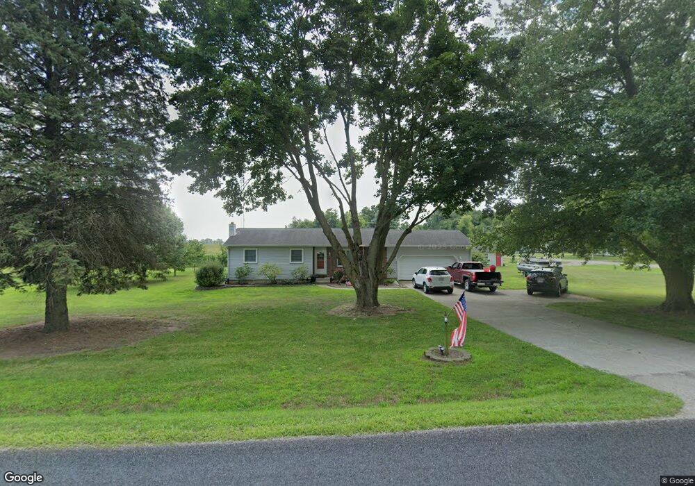
2015 E Gorman Rd Adrian, MI 49221
Estimated Value: $205,000 - $254,000
4
Beds
2
Baths
1,052
Sq Ft
$212/Sq Ft
Est. Value
About This Home
This home is located at 2015 E Gorman Rd, Adrian, MI 49221 and is currently estimated at $222,912, approximately $211 per square foot. 2015 E Gorman Rd is a home located in Lenawee County with nearby schools including Ruth McGregor Elementary School and Sand Creek High School.
Ownership History
Date
Name
Owned For
Owner Type
Purchase Details
Closed on
Dec 24, 2009
Sold by
Merritt Michelle E
Bought by
Merritt Steven M
Current Estimated Value
Home Financials for this Owner
Home Financials are based on the most recent Mortgage that was taken out on this home.
Original Mortgage
$106,247
Outstanding Balance
$69,087
Interest Rate
4.84%
Mortgage Type
New Conventional
Estimated Equity
$153,825
Purchase Details
Closed on
Mar 9, 1990
Bought by
Merritt Steven M
Create a Home Valuation Report for This Property
The Home Valuation Report is an in-depth analysis detailing your home's value as well as a comparison with similar homes in the area
Home Values in the Area
Average Home Value in this Area
Purchase History
| Date | Buyer | Sale Price | Title Company |
|---|---|---|---|
| Merritt Steven M | -- | Prestige Title Insurance Age | |
| Merritt Steven M | $75,000 | -- |
Source: Public Records
Mortgage History
| Date | Status | Borrower | Loan Amount |
|---|---|---|---|
| Open | Merritt Steven M | $106,247 | |
| Closed | Merritt Steven M | $8,000 |
Source: Public Records
Tax History
| Year | Tax Paid | Tax Assessment Tax Assessment Total Assessment is a certain percentage of the fair market value that is determined by local assessors to be the total taxable value of land and additions on the property. | Land | Improvement |
|---|---|---|---|---|
| 2025 | $1,959 | $107,300 | $0 | $0 |
| 2024 | $8 | $94,600 | $0 | $0 |
| 2022 | $716 | $80,400 | $0 | $0 |
| 2021 | $1,710 | $76,900 | $0 | $0 |
| 2020 | $1,700 | $71,400 | $0 | $0 |
| 2019 | $171,553 | $64,200 | $0 | $0 |
| 2018 | $1,804 | $64,181 | $0 | $0 |
| 2017 | $1,748 | $61,223 | $0 | $0 |
| 2016 | $1,680 | $57,268 | $0 | $0 |
| 2014 | -- | $57,448 | $0 | $0 |
Source: Public Records
Map
Nearby Homes
- 1168 Seneca St
- 8250 Treat Hwy
- 3822 Sharp Rd
- 2329 Wood Ridge Dr
- 2171 Harold St
- 1883 Harold St
- 141 Smoky Hill River Ct
- 324 Grand River Dr
- 2090 Richards St
- 2048 Richards St
- 1 Yukon River Ct
- 5000 BLK LOT B S Adrian Hwy
- 5000 BLK LOT C S Adrian Hwy
- 264 Storr
- 211 Tiffany
- 243 Kirk
- 170 Newbury
- 1169 Division St
- 180 Newbury
- 182 Newbury
- 2078 E Gorman Rd
- 2075 E Gorman Rd
- 2048 E Gorman Rd
- 2020 E Gorman Rd
- 2008 E Gorman Rd
- 2216 E Gorman Rd
- 2002 E Gorman Rd
- 2264 E Gorman Rd
- 1825 E Gorman Rd
- 1894 E Gorman Rd
- 2308 E Gorman Rd
- 2320 E Gorman Rd
- 2360 E Gorman Rd
- 1755 E Gorman Rd
- 6550 Baker Hwy
- 1824 E Gorman Rd
- 6572 Baker Hwy
- 2402 E Gorman Rd
- 2000 E Gorman Rd Unit BLK
- 0 E Gorman Rd
Your Personal Tour Guide
Ask me questions while you tour the home.