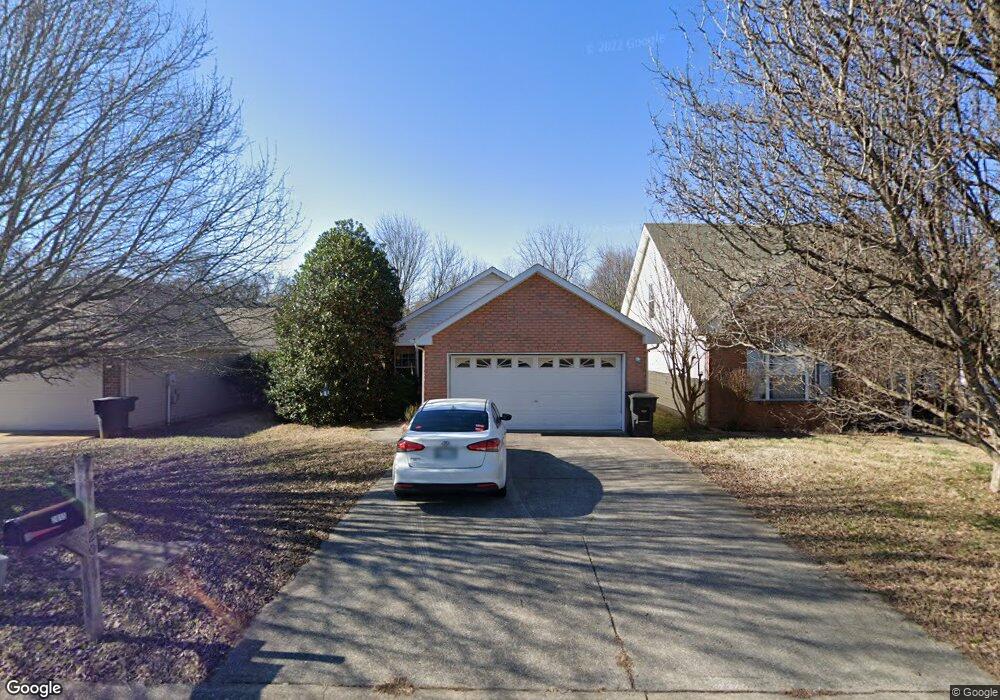
2015 Liberty Dr Murfreesboro, TN 37129
Estimated Value: $305,946 - $337,000
--
Bed
2
Baths
1,189
Sq Ft
$274/Sq Ft
Est. Value
About This Home
This home is located at 2015 Liberty Dr, Murfreesboro, TN 37129 and is currently estimated at $326,237, approximately $274 per square foot. 2015 Liberty Dr is a home located in Rutherford County with nearby schools including Northfield Elementary School, Siegel Middle School, and Siegel High School.
Ownership History
Date
Name
Owned For
Owner Type
Purchase Details
Closed on
Dec 20, 2022
Sold by
Young Scott N
Bought by
Scott N Young Living Trust
Current Estimated Value
Purchase Details
Closed on
Mar 21, 2014
Sold by
Hedden Carl Michael
Bought by
Young Scott
Purchase Details
Closed on
Apr 25, 2001
Sold by
Robinson Jeffrey L
Bought by
Michael Hedden Carl
Home Financials for this Owner
Home Financials are based on the most recent Mortgage that was taken out on this home.
Original Mortgage
$91,278
Interest Rate
6.9%
Create a Home Valuation Report for This Property
The Home Valuation Report is an in-depth analysis detailing your home's value as well as a comparison with similar homes in the area
Home Values in the Area
Average Home Value in this Area
Purchase History
| Date | Buyer | Sale Price | Title Company |
|---|---|---|---|
| Scott N Young Living Trust | -- | -- | |
| Young Scott | $90,000 | -- | |
| Michael Hedden Carl | $92,000 | -- |
Source: Public Records
Mortgage History
| Date | Status | Borrower | Loan Amount |
|---|---|---|---|
| Previous Owner | Michael Hedden Carl | $91,278 |
Source: Public Records
Tax History Compared to Growth
Tax History
| Year | Tax Paid | Tax Assessment Tax Assessment Total Assessment is a certain percentage of the fair market value that is determined by local assessors to be the total taxable value of land and additions on the property. | Land | Improvement |
|---|---|---|---|---|
| 2025 | $1,746 | $61,725 | $13,750 | $47,975 |
| 2024 | $1,746 | $61,725 | $13,750 | $47,975 |
| 2023 | $1,158 | $61,725 | $13,750 | $47,975 |
| 2022 | $998 | $61,725 | $13,750 | $47,975 |
| 2021 | $850 | $38,300 | $6,000 | $32,300 |
| 2020 | $850 | $38,300 | $6,000 | $32,300 |
| 2019 | $850 | $38,300 | $6,000 | $32,300 |
| 2018 | $1,168 | $38,300 | $0 | $0 |
| 2017 | $1,014 | $26,075 | $0 | $0 |
| 2016 | $1,014 | $26,075 | $0 | $0 |
| 2015 | $1,014 | $26,075 | $0 | $0 |
| 2014 | $648 | $26,075 | $0 | $0 |
| 2013 | -- | $25,875 | $0 | $0 |
Source: Public Records
Map
Nearby Homes
- 2017 Liberty Dr
- 2011 Liberty Dr
- 2021 Liberty Dr
- 2009 Liberty Dr
- 2005 Liberty Dr
- 2023 Liberty Dr
- 2003 Liberty Dr
- 623 Freedom Ct
- 622 Freedom Ct
- 621 Freedom Ct
- 641 Federal Ct
- 620 Freedom Ct
- 2002 Liberty Dr
- 2025 Liberty Dr
- 639 Federal Ct
- 617 Freedom Ct
- 616 Freedom Ct
- 2024 Liberty Dr
- 620 Federal Ct
- 614 Freedom Ct