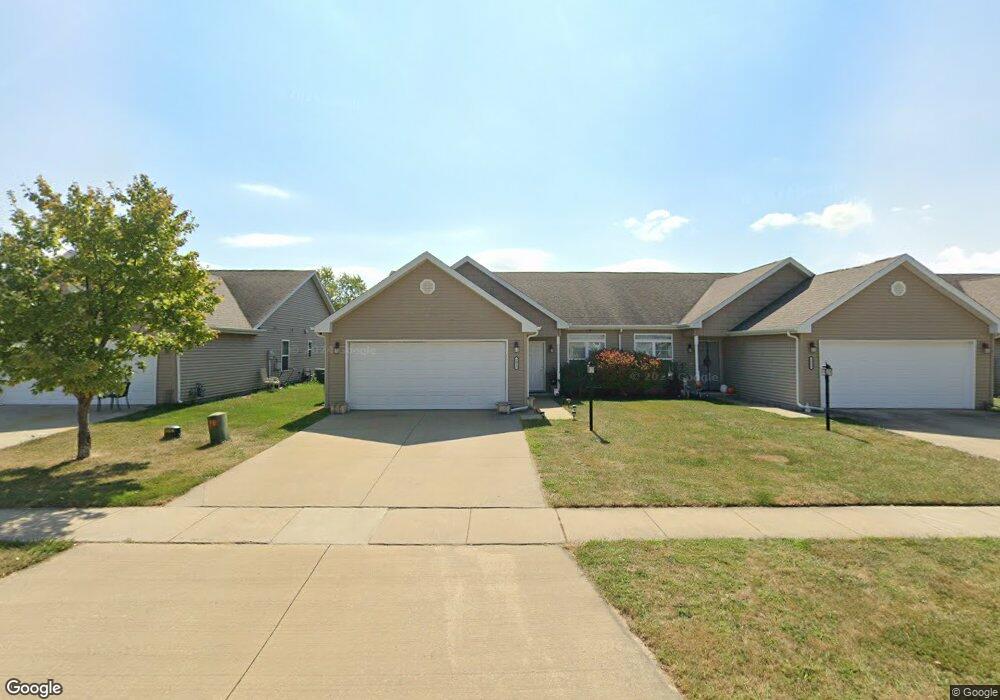
2015 Macon St Mahomet, IL 61853
Estimated Value: $219,000 - $263,000
3
Beds
2
Baths
--
Sq Ft
5,184
Sq Ft Lot
About This Home
This home is located at 2015 Macon St, Mahomet, IL 61853 and is currently estimated at $243,487. 2015 Macon St is a home located in Champaign County with nearby schools including Middletown Prairie Elementary, Mahomet Christian School, and First School.
Ownership History
Date
Name
Owned For
Owner Type
Purchase Details
Closed on
Feb 3, 2017
Sold by
Frerichs Robby C and Frerichs Elizabeth C
Bought by
Plm Properties Llc
Current Estimated Value
Home Financials for this Owner
Home Financials are based on the most recent Mortgage that was taken out on this home.
Original Mortgage
$1,120,000
Interest Rate
4.12%
Mortgage Type
Unknown
Purchase Details
Closed on
Apr 2, 2012
Sold by
Prairie Crossing Of Mahomet Llc
Bought by
Frerichs Rob and Frerichs Elizabeth
Create a Home Valuation Report for This Property
The Home Valuation Report is an in-depth analysis detailing your home's value as well as a comparison with similar homes in the area
Home Values in the Area
Average Home Value in this Area
Purchase History
| Date | Buyer | Sale Price | Title Company |
|---|---|---|---|
| Plm Properties Llc | $1,700,164 | First Community Title | |
| Frerichs Rob | -- | None Available |
Source: Public Records
Mortgage History
| Date | Status | Borrower | Loan Amount |
|---|---|---|---|
| Closed | Plm Properties Llc | $1,120,000 |
Source: Public Records
Tax History Compared to Growth
Tax History
| Year | Tax Paid | Tax Assessment Tax Assessment Total Assessment is a certain percentage of the fair market value that is determined by local assessors to be the total taxable value of land and additions on the property. | Land | Improvement |
|---|---|---|---|---|
| 2024 | $2,266 | $58,970 | $9,710 | $49,260 |
| 2023 | $2,266 | $53,610 | $8,830 | $44,780 |
| 2022 | $2,074 | $49,410 | $8,140 | $41,270 |
| 2021 | $2,153 | $46,700 | $7,690 | $39,010 |
| 2020 | $1,650 | $45,920 | $7,560 | $38,360 |
| 2019 | $1,582 | $45,200 | $7,440 | $37,760 |
| 2018 | $1,438 | $44,230 | $7,280 | $36,950 |
| 2017 | $2,935 | $42,480 | $6,990 | $35,490 |
| 2016 | $2,920 | $42,480 | $6,990 | $35,490 |
| 2015 | $6,000 | $42,480 | $8,330 | $34,150 |
| 2014 | $2,928 | $42,480 | $8,330 | $34,150 |
| 2013 | $3,404 | $42,480 | $8,330 | $34,150 |
Source: Public Records
Map
Nearby Homes
- 612 Bureau Ct
- 1010 Parkview Dr
- 1101 James Ct
- 2213 Olen Dr
- 1105 Olen Dr
- 1201 Robin Rd
- 2109 Mallard Dr
- 1203 Marianne Ct
- 903 S Trailside Dr
- 205 Ranch Ln
- 2302 Pheasant Ridge Rd
- 1713 Hunters Ridge Ct
- 706 Cates Dr
- Wellington 2117 Plan at Hunters Ridge
- Belmont 1638 Plan at Hunters Ridge
- Douglas 1804 Plan at Ridge Creek
- Ridgecrest 1919 Plan at Ridge Creek
- Wellington Plan at Ridge Creek
- Eldridge Plan at Ridge Creek
- Ridgeland Plan at Ridge Creek