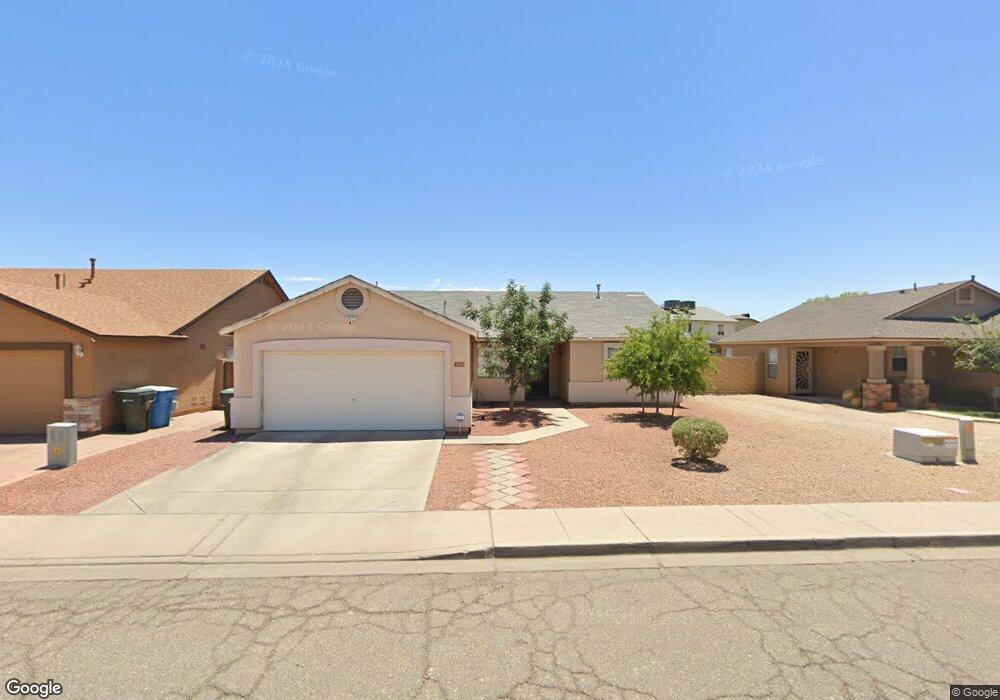
2015 N 87th Dr Phoenix, AZ 85037
Estimated Value: $265,000 - $369,000
Studio
2
Baths
1,387
Sq Ft
$234/Sq Ft
Est. Value
About This Home
This home is located at 2015 N 87th Dr, Phoenix, AZ 85037 and is currently estimated at $324,275, approximately $233 per square foot. 2015 N 87th Dr is a home located in Maricopa County with nearby schools including Desert Oasis Elementary School, Tolleson Union High School, and Pan-American Charter School.
Ownership History
Date
Name
Owned For
Owner Type
Purchase Details
Closed on
Oct 22, 1997
Sold by
Soto Jose T
Bought by
Soto Jose T and Soto Maria G
Current Estimated Value
Home Financials for this Owner
Home Financials are based on the most recent Mortgage that was taken out on this home.
Original Mortgage
$78,696
Outstanding Balance
$12,544
Interest Rate
7.36%
Mortgage Type
FHA
Estimated Equity
$311,731
Purchase Details
Closed on
Apr 8, 1996
Sold by
Greystone Homes Inc
Bought by
Soto Jose T
Purchase Details
Closed on
Oct 26, 1995
Sold by
Soto Maria G
Bought by
Soto Jose T
Create a Home Valuation Report for This Property
The Home Valuation Report is an in-depth analysis detailing your home's value as well as a comparison with similar homes in the area
Purchase History
| Date | Buyer | Sale Price | Title Company |
|---|---|---|---|
| Soto Jose T | -- | First American Title | |
| Soto Jose T | $82,150 | First American Title | |
| Soto Jose T | -- | First American Title |
Source: Public Records
Mortgage History
| Date | Status | Borrower | Loan Amount |
|---|---|---|---|
| Open | Soto Jose T | $78,696 |
Source: Public Records
Tax History
| Year | Tax Paid | Tax Assessment Tax Assessment Total Assessment is a certain percentage of the fair market value that is determined by local assessors to be the total taxable value of land and additions on the property. | Land | Improvement |
|---|---|---|---|---|
| 2025 | $1,249 | $9,275 | -- | -- |
| 2024 | $1,108 | $8,834 | -- | -- |
| 2023 | $1,108 | $23,820 | $4,760 | $19,060 |
| 2022 | $1,067 | $18,070 | $3,610 | $14,460 |
| 2021 | $1,022 | $16,480 | $3,290 | $13,190 |
| 2020 | $994 | $15,160 | $3,030 | $12,130 |
| 2019 | $994 | $13,450 | $2,690 | $10,760 |
| 2018 | $900 | $12,630 | $2,520 | $10,110 |
| 2017 | $804 | $10,320 | $2,060 | $8,260 |
| 2016 | $760 | $9,630 | $1,920 | $7,710 |
| 2015 | $731 | $8,610 | $1,720 | $6,890 |
Source: Public Records
Map
Nearby Homes
- 8544 W Holly St
- 8838 W Encanto Blvd
- 8908 W Sheridan St
- 8520 W Palm Ln Unit 1091
- 8520 W Palm Ln Unit 1070
- 8520 W Palm Ln Unit 1049
- 8520 W Palm Ln Unit 1125
- 2533 N 88th Ln
- 8428 W Lewis Ave Unit 18
- 8507 W Virginia Ave
- 2705 N 90th Ave
- 9171 W Berkeley Rd
- 2337 N 83rd Dr Unit 92
- 8607 W Edgemont Ave
- 8665 W Verde Ln Unit 242
- 8807 W Christa Way
- 8186 W Colcord Canyon Rd Unit BLD59
- 2421 N 92nd Glen
- 8192 W Lynwood St Unit BLD55
- 8187 W Lynwood St Unit BLD54
- 2019 N 87th Dr
- 2011 N 87th Dr
- 8668 W Hubbell St
- 2023 N 87th Dr
- 2007 N 87th Dr
- 8665 W Hubbell St
- 8662 W Hubbell St Unit 1
- 2014 N 87th Dr
- 2010 N 87th Dr
- 2018 N 87th Dr
- 2029 N 87th Dr
- 2003 N 87th Dr
- 2006 N 87th Dr
- 8667 W Holly St
- 2024 N 87th Dr
- 8663 W Holly St
- 8661 W Hubbell St
- 8658 W Hubbell St
- 2033 N 87th Dr
- 2002 N 87th Dr
Your Personal Tour Guide
Ask me questions while you tour the home.