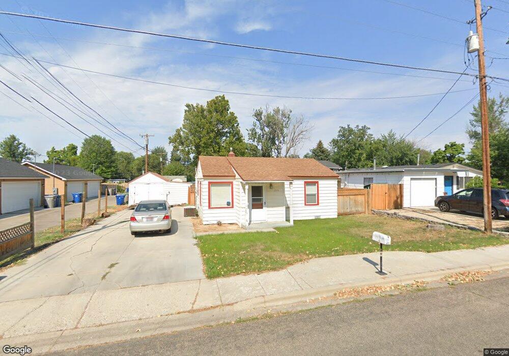
2015 N Liberty St Boise, ID 83704
West Boise NeighborhoodEstimated Value: $315,000 - $370,000
2
Beds
1
Bath
652
Sq Ft
$516/Sq Ft
Est. Value
About This Home
This home is located at 2015 N Liberty St, Boise, ID 83704 and is currently estimated at $336,676, approximately $516 per square foot. 2015 N Liberty St is a home located in Ada County with nearby schools including Koelsch Elementary School, Fairmont Junior High School, and Capital High School.
Ownership History
Date
Name
Owned For
Owner Type
Purchase Details
Closed on
Mar 25, 2009
Sold by
Glauner Daniel
Bought by
Borah Matthew D
Current Estimated Value
Home Financials for this Owner
Home Financials are based on the most recent Mortgage that was taken out on this home.
Original Mortgage
$68,000
Outstanding Balance
$43,285
Interest Rate
5.15%
Mortgage Type
Purchase Money Mortgage
Estimated Equity
$293,391
Purchase Details
Closed on
Apr 6, 2007
Sold by
Wells Dean M and Wells Shannon D
Bought by
Glauner Daniel and Tobin Tammy
Home Financials for this Owner
Home Financials are based on the most recent Mortgage that was taken out on this home.
Original Mortgage
$120,000
Interest Rate
9.65%
Mortgage Type
Stand Alone First
Create a Home Valuation Report for This Property
The Home Valuation Report is an in-depth analysis detailing your home's value as well as a comparison with similar homes in the area
Home Values in the Area
Average Home Value in this Area
Purchase History
| Date | Buyer | Sale Price | Title Company |
|---|---|---|---|
| Borah Matthew D | -- | Pioneer Title Co | |
| Glauner Daniel | -- | Title One |
Source: Public Records
Mortgage History
| Date | Status | Borrower | Loan Amount |
|---|---|---|---|
| Open | Borah Matthew D | $68,000 | |
| Previous Owner | Glauner Daniel | $120,000 |
Source: Public Records
Tax History Compared to Growth
Tax History
| Year | Tax Paid | Tax Assessment Tax Assessment Total Assessment is a certain percentage of the fair market value that is determined by local assessors to be the total taxable value of land and additions on the property. | Land | Improvement |
|---|---|---|---|---|
| 2025 | $1,116 | $254,500 | -- | -- |
| 2024 | $1,104 | $246,000 | -- | -- |
| 2023 | $1,104 | $231,200 | $0 | $0 |
| 2022 | $1,238 | $267,800 | $0 | $0 |
| 2021 | $1,147 | $209,800 | $0 | $0 |
| 2020 | $999 | $168,300 | $0 | $0 |
| 2019 | $1,018 | $150,100 | $0 | $0 |
| 2018 | $941 | $123,900 | $0 | $0 |
| 2017 | $922 | $115,400 | $0 | $0 |
| 2016 | $881 | $107,600 | $0 | $0 |
| 2015 | $1,001 | $119,200 | $0 | $0 |
| 2012 | -- | $88,800 | $0 | $0 |
Source: Public Records
Map
Nearby Homes
- 6505 W York St
- 6404 W York St
- 6214 W York St
- 6402 W Northview St
- 1703 N Hartman St
- 2110 N Allumbaugh St
- 6738 W Westwood Ln
- 2101 N Allumbaugh St
- 2001 N Allumbaugh St
- 2421 N Fisk Ln
- 6800 W Folk Dr
- 5816 W Poplar Dr
- 2103 N Curtis Rd
- 6808 W Folk Dr
- 6827 W Northview St
- 5701 W Cruzen St
- 7048 W Colehaven Dr
- 1910 N Amber St
- 7103 W Northview St
- 2908 N Alamo Rd
- 2019 N Liberty St
- 6407 W Poplar St
- 6408 W Post St
- 2005 N Liberty St
- 2006 N Liberty St
- 6413 W Poplar St
- 6412 W Post St
- 2000 N Liberty St
- 6381 W Poplar St
- 2019 N
- 6416 W Post St
- 6406 Post St
- 6404 Post St
- 6489 W Poplar St
- 6318 W Post St
- 6410 W Poplar St
- 6418 W Post St
- 6315 W Poplar St
- 2109 N Liberty St
- 6416 W Poplar St