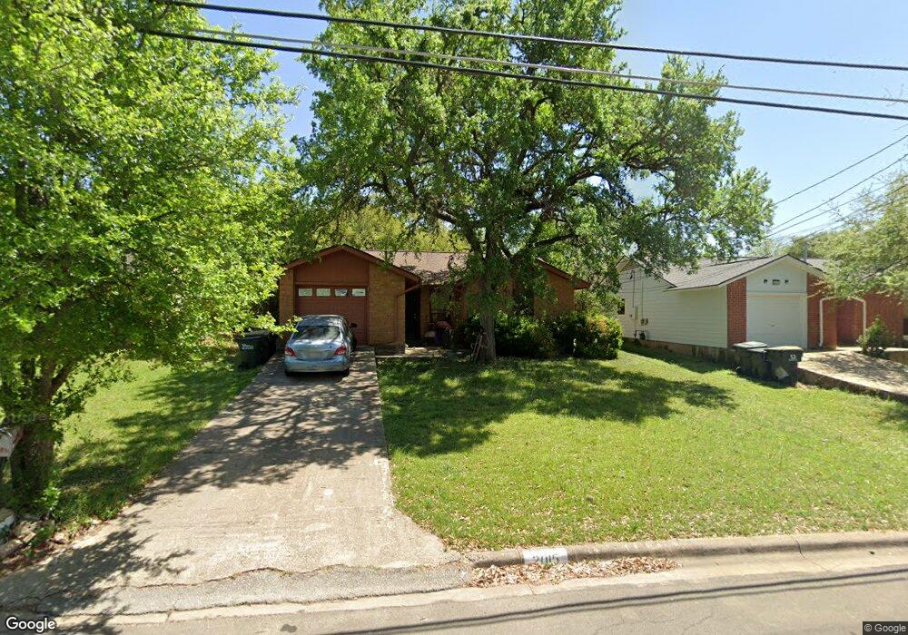
2015 Nevada St San Marcos, TX 78666
Castle Forest NeighborhoodEstimated Value: $229,519 - $252,000
--
Bed
--
Bath
1,020
Sq Ft
$237/Sq Ft
Est. Value
About This Home
This home is located at 2015 Nevada St, San Marcos, TX 78666 and is currently estimated at $241,880, approximately $237 per square foot. 2015 Nevada St is a home located in Hays County with nearby schools including Crockett Elementary School, Dorris Miller Middle School, and San Marcos High School.
Ownership History
Date
Name
Owned For
Owner Type
Purchase Details
Closed on
Apr 14, 2010
Sold by
Raschke Brent David and Raschke Wendy
Bought by
Morgan Rachael and Morgan Samuel S
Current Estimated Value
Home Financials for this Owner
Home Financials are based on the most recent Mortgage that was taken out on this home.
Original Mortgage
$90,557
Interest Rate
4.9%
Mortgage Type
FHA
Purchase Details
Closed on
May 30, 2002
Sold by
Vargas Manuel C and Vargas Janie F
Bought by
Morgan Rachael
Create a Home Valuation Report for This Property
The Home Valuation Report is an in-depth analysis detailing your home's value as well as a comparison with similar homes in the area
Home Values in the Area
Average Home Value in this Area
Purchase History
| Date | Buyer | Sale Price | Title Company |
|---|---|---|---|
| Morgan Rachael | -- | Independence Title | |
| Morgan Rachael | -- | -- |
Source: Public Records
Mortgage History
| Date | Status | Borrower | Loan Amount |
|---|---|---|---|
| Closed | Morgan Rachael | $90,557 |
Source: Public Records
Tax History Compared to Growth
Tax History
| Year | Tax Paid | Tax Assessment Tax Assessment Total Assessment is a certain percentage of the fair market value that is determined by local assessors to be the total taxable value of land and additions on the property. | Land | Improvement |
|---|---|---|---|---|
| 2025 | $4,781 | $235,147 | $71,770 | $163,377 |
| 2024 | $4,781 | $242,894 | $71,770 | $171,124 |
| 2023 | $4,203 | $221,000 | $71,770 | $149,230 |
| 2022 | $4,394 | $214,430 | $65,190 | $149,240 |
| 2021 | $3,287 | $149,140 | $38,990 | $110,150 |
| 2020 | $3,145 | $142,710 | $38,210 | $104,500 |
| 2019 | $3,430 | $139,320 | $38,210 | $101,110 |
| 2018 | $3,100 | $125,350 | $22,000 | $103,350 |
| 2017 | $2,767 | $115,070 | $15,950 | $99,120 |
| 2016 | $2,607 | $108,430 | $15,950 | $92,480 |
| 2015 | $1,034 | $102,980 | $15,950 | $87,030 |
Source: Public Records
Map
Nearby Homes
- 1919 Castle Gate Cir
- 2007 Castle Gate Cir
- 1931 Lisa Ln
- 2003 Lisa Ln
- 1837 Pearce Ct
- 1809 Pearce Ct
- 108 Dolly St
- 2022 Ridge View Dr
- 1805 Ramona Cir
- 2203 Lancaster St
- 609 Chicago St
- 1610 Ramona Cir
- 1007 Earle St
- 1108 Marlton St
- TBD LOT 2 Old Ranch Road 12
- TBD LOT 1 Old Ranch Road 12
- 0 Old Ranch Road 12
- 412 Craddock Ave
- 140 Coers Dr
- 205 Hughson Dr
- 2017 Nevada St
- 2013 Nevada St
- 2019 Nevada St
- 2011 Nevada St
- 2010 Castle Gate Cir
- 2008 Castle Gate Cir
- 2012 Castle Gate Cir
- 2018 Castle Gate Cir
- 2006 Castle Gate Cir
- 2006 Castle Gate Cir
- 2009 Nevada St
- 2010 Nevada St
- 2014 Castle Gate Cir
- 2006 Nevada St
- 2012 Nevada St
- 2004 Castle Gate Cir
- 2016 Castle Gate Cir
- 2007 Nevada St
- 2002 Castle Gate Cir
- 2005 Nevada St