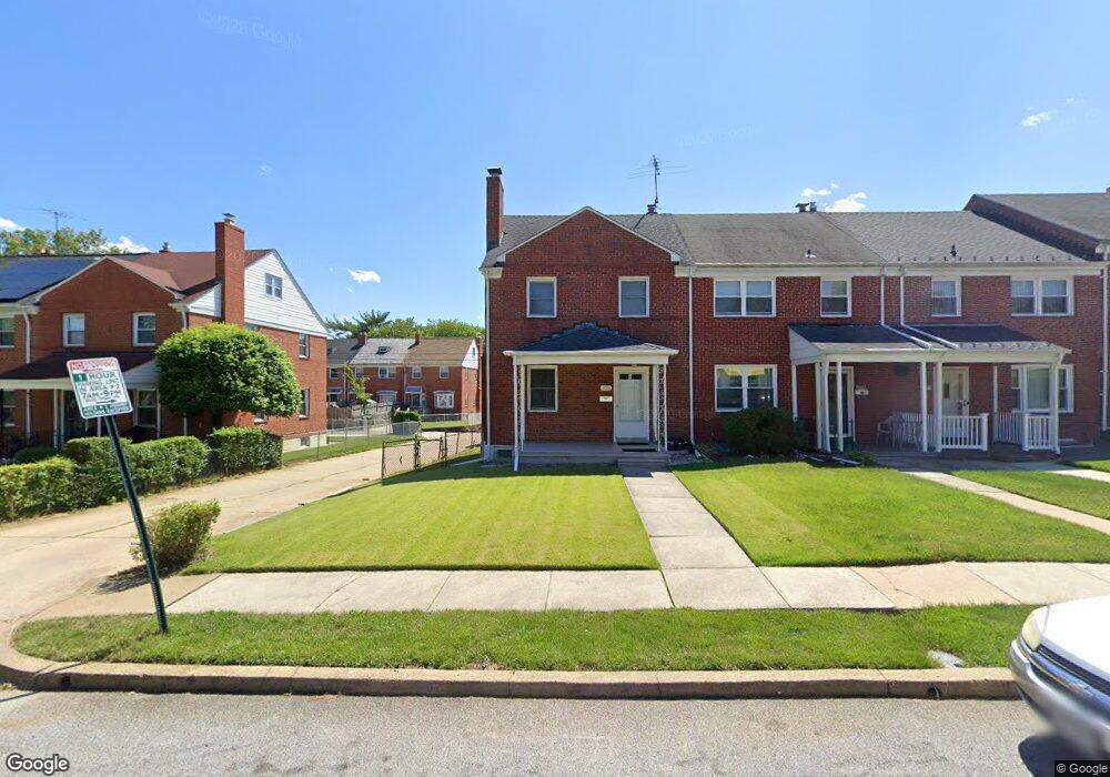
2015 Northbourne Rd Baltimore, MD 21239
Perring Loch NeighborhoodEstimated Value: $189,930 - $288,000
--
Bed
1
Bath
1,280
Sq Ft
$187/Sq Ft
Est. Value
About This Home
This home is located at 2015 Northbourne Rd, Baltimore, MD 21239 and is currently estimated at $238,965, approximately $186 per square foot. 2015 Northbourne Rd is a home located in Baltimore City with nearby schools including Northwood Elementary School, Booker T. Washington Middle School, and Paul Laurence Dunbar High School.
Ownership History
Date
Name
Owned For
Owner Type
Purchase Details
Closed on
Apr 21, 2011
Sold by
Massie Paul D
Bought by
Massie Sherry Lee and Massie Aaron Paul
Current Estimated Value
Purchase Details
Closed on
Feb 19, 1991
Sold by
Paul Paul D and Paul Wf
Bought by
Massie Paul D
Create a Home Valuation Report for This Property
The Home Valuation Report is an in-depth analysis detailing your home's value as well as a comparison with similar homes in the area
Home Values in the Area
Average Home Value in this Area
Purchase History
| Date | Buyer | Sale Price | Title Company |
|---|---|---|---|
| Massie Sherry Lee | -- | None Available | |
| Massie Paul D | $20,600 | -- |
Source: Public Records
Tax History Compared to Growth
Tax History
| Year | Tax Paid | Tax Assessment Tax Assessment Total Assessment is a certain percentage of the fair market value that is determined by local assessors to be the total taxable value of land and additions on the property. | Land | Improvement |
|---|---|---|---|---|
| 2025 | $3,166 | $160,333 | -- | -- |
| 2024 | $3,166 | $147,000 | $36,000 | $111,000 |
| 2023 | $3,078 | $143,667 | $0 | $0 |
| 2022 | $3,004 | $140,333 | $0 | $0 |
| 2021 | $3,233 | $137,000 | $36,000 | $101,000 |
| 2020 | $2,947 | $137,000 | $36,000 | $101,000 |
| 2019 | $2,932 | $137,000 | $36,000 | $101,000 |
| 2018 | $2,955 | $146,900 | $36,000 | $110,900 |
| 2017 | $2,867 | $142,033 | $0 | $0 |
| 2016 | $2,495 | $137,167 | $0 | $0 |
| 2015 | $2,495 | $132,300 | $0 | $0 |
| 2014 | $2,495 | $132,300 | $0 | $0 |
Source: Public Records
Map
Nearby Homes
- 1814 Winford Rd
- 1809 Northbourne Rd
- 2045 Woodbourne Ave
- 1800 Burnwood Rd
- 1809 Hillenwood Rd
- 4929 Herring Run Dr
- 1808 Swansea Rd
- 4917 Gilray Dr
- 2318 Ivy Ave
- 1613 Winford Rd
- 5515 Hillen Rd
- 1631 Woodbourne Ave
- 2326 Ivy Ave
- 5768 Maplehill Rd
- 2107 Echodale Ave
- 5009 Grindon Ave
- 2211 Echodale Ave
- 1656 Ramblewood Rd
- 4704 Grindon Ave
- 5005 Catalpha Rd
- 2013 Northbourne Rd
- 2011 Northbourne Rd
- 2017 Northbourne Rd
- 2009 Northbourne Rd
- 2019 Northbourne Rd
- 2007 Northbourne Rd
- 2021 Northbourne Rd
- 2005 Northbourne Rd
- 2014 Burnwood Rd
- 2012 Burnwood Rd
- 2003 Northbourne Rd
- 2023 Northbourne Rd
- 2010 Burnwood Rd
- 2016 Burnwood Rd
- 2008 Burnwood Rd
- 2018 Burnwood Rd
- 2006 Burnwood Rd
- 2001 Northbourne Rd
- 2020 Burnwood Rd
- 2014 Northbourne Rd