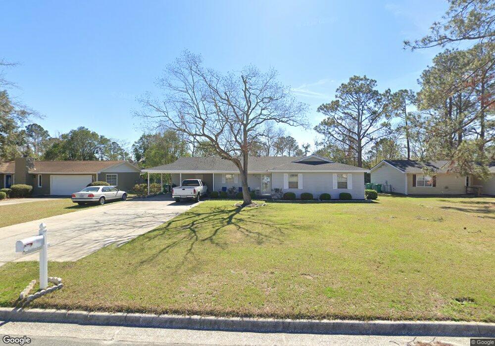
2015 Northside Dr Valdosta, GA 31602
Estimated Value: $139,613 - $164,000
--
Bed
2
Baths
1,302
Sq Ft
$113/Sq Ft
Est. Value
About This Home
This home is located at 2015 Northside Dr, Valdosta, GA 31602 and is currently estimated at $147,653, approximately $113 per square foot. 2015 Northside Dr is a home located in Lowndes County with nearby schools including W.G. Nunn Elementary School, Newbern Middle School, and Valdosta High School.
Ownership History
Date
Name
Owned For
Owner Type
Purchase Details
Closed on
Apr 28, 2006
Sold by
Carter Hierla M
Bought by
Carter Eddie L
Current Estimated Value
Purchase Details
Closed on
Mar 15, 2002
Sold by
Conner Timothy and Conner Chong
Bought by
Carter Eddie L and Carter Hierla M
Purchase Details
Closed on
Apr 2, 1993
Bought by
Conner Timothy and Conner Chong
Purchase Details
Closed on
Feb 28, 1989
Bought by
Schmidt John R
Purchase Details
Closed on
Apr 16, 1986
Bought by
Durrance Coy L Etal
Purchase Details
Closed on
Jan 22, 1979
Bought by
Love James C
Purchase Details
Closed on
Jan 6, 1978
Bought by
Huff Aline A
Create a Home Valuation Report for This Property
The Home Valuation Report is an in-depth analysis detailing your home's value as well as a comparison with similar homes in the area
Home Values in the Area
Average Home Value in this Area
Purchase History
| Date | Buyer | Sale Price | Title Company |
|---|---|---|---|
| Carter Eddie L | -- | -- | |
| Carter Eddie L | $67,000 | -- | |
| Conner Timothy | -- | -- | |
| Conner Timothy | $51,500 | -- | |
| Schmidt John R | $4,900 | -- | |
| Durrance Coy L Etal | $48,000 | -- | |
| Love James C | $4,600 | -- | |
| Huff Aline A | -- | -- |
Source: Public Records
Tax History Compared to Growth
Tax History
| Year | Tax Paid | Tax Assessment Tax Assessment Total Assessment is a certain percentage of the fair market value that is determined by local assessors to be the total taxable value of land and additions on the property. | Land | Improvement |
|---|---|---|---|---|
| 2024 | $957 | $40,258 | $4,800 | $35,458 |
| 2023 | $957 | $40,258 | $4,800 | $35,458 |
| 2022 | $808 | $29,899 | $4,800 | $25,099 |
| 2021 | $831 | $29,899 | $4,800 | $25,099 |
| 2020 | $849 | $29,899 | $4,800 | $25,099 |
| 2019 | $848 | $29,899 | $4,800 | $25,099 |
| 2018 | $589 | $22,370 | $4,800 | $17,570 |
| 2017 | $593 | $22,370 | $4,800 | $17,570 |
| 2016 | $592 | $22,370 | $4,800 | $17,570 |
| 2015 | $543 | $22,370 | $4,800 | $17,570 |
| 2014 | $706 | $38,128 | $12,000 | $26,128 |
Source: Public Records
Map
Nearby Homes
- 1750 Almond Tree Place Unit A & B
- 11 Crestwood Cir
- 2570 Marathon Dr
- 1703 Largo Cir
- 1852 Chestnut Dr
- 1724 Eli Place
- 2713 Pineview Dr Unit A&B
- 1739 Eli Place
- 1761 Hyssop Crossing
- TBD Jaycee Shack Rd
- 1647 Fresno St
- 7.63 AC Tyndall Dr
- 1763 Eli Place
- 1 Pomona Cir
- 2400 Lowndes Dr
- 2311 Lowndes Dr
- 2517 Deborah Dr
- 2737 Dogwood Cir
- 2414 Deborah Dr
- 1703 Leone Ave
- 2013 Northside Dr
- 2017 Northside Dr
- 2614 Quincy Cir
- 2616 Quincy Cir
- 2034 Bancroft Rd
- 2011 Northside Dr
- 2612 Quincy Cir
- 2014 Northside Dr
- 2012 Northside Dr
- 2032 Bancroft Rd
- 2016 Northside Dr
- 2010 Northside Dr
- 2610 Quincy Cir
- 2009 Northside Dr
- 2008 Northside Dr
- 2613 Quincy Cir
- 2615 Quincy Cir
- 2608 Quincy Cir
- 2015 Houston Ave
- 2611 Quincy Cir