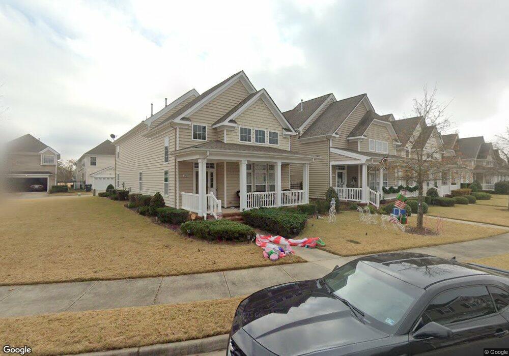
2015 Queens Point Dr Unit 98 Suffolk, VA 23434
Chuckatuck NeighborhoodEstimated Value: $384,000 - $409,984
3
Beds
3
Baths
2,006
Sq Ft
$198/Sq Ft
Est. Value
About This Home
This home is located at 2015 Queens Point Dr Unit 98, Suffolk, VA 23434 and is currently estimated at $396,746, approximately $197 per square foot. 2015 Queens Point Dr Unit 98 is a home located in Suffolk City with nearby schools including Elephant's Fork Elementary School, King's Fork Middle School, and King's Fork High School.
Ownership History
Date
Name
Owned For
Owner Type
Purchase Details
Closed on
Aug 5, 2014
Sold by
Bank Of America Na
Bought by
Seltzer Labertha
Current Estimated Value
Home Financials for this Owner
Home Financials are based on the most recent Mortgage that was taken out on this home.
Original Mortgage
$200,000
Outstanding Balance
$151,564
Interest Rate
4.18%
Mortgage Type
New Conventional
Estimated Equity
$245,182
Purchase Details
Closed on
Jan 7, 2014
Sold by
Alg Trustees Llc and Polittle Craig S
Bought by
Bank Of America
Create a Home Valuation Report for This Property
The Home Valuation Report is an in-depth analysis detailing your home's value as well as a comparison with similar homes in the area
Home Values in the Area
Average Home Value in this Area
Purchase History
| Date | Buyer | Sale Price | Title Company |
|---|---|---|---|
| Seltzer Labertha | $213,000 | -- | |
| Bank Of America | $198,050 | -- |
Source: Public Records
Mortgage History
| Date | Status | Borrower | Loan Amount |
|---|---|---|---|
| Open | Bank Of America | $200,000 |
Source: Public Records
Tax History
| Year | Tax Paid | Tax Assessment Tax Assessment Total Assessment is a certain percentage of the fair market value that is determined by local assessors to be the total taxable value of land and additions on the property. | Land | Improvement |
|---|---|---|---|---|
| 2025 | $4,159 | $346,600 | $75,000 | $271,600 |
| 2024 | $4,159 | $346,200 | $75,000 | $271,200 |
| 2023 | $4,097 | $329,500 | $70,000 | $259,500 |
| 2022 | $3,306 | $303,300 | $65,000 | $238,300 |
| 2021 | $2,894 | $260,700 | $40,000 | $220,700 |
| 2020 | $2,795 | $251,800 | $40,000 | $211,800 |
| 2019 | $2,697 | $243,000 | $40,000 | $203,000 |
| 2018 | $2,627 | $236,200 | $40,000 | $196,200 |
| 2017 | $2,527 | $236,200 | $40,000 | $196,200 |
| 2016 | $2,435 | $227,600 | $40,000 | $187,600 |
| 2015 | $1,252 | $227,500 | $40,000 | $187,500 |
| 2014 | $1,252 | $227,500 | $40,000 | $187,500 |
Source: Public Records
Map
Nearby Homes
- 2019 Queens Point Dr
- 3216 Duke of Glouchester Dr
- 1051 Boundary Dr
- 2045 Queens Point Dr
- 3220 Duke of Glouchester Dr
- 4009 Kingston Pkwy Unit 313
- 2072 Queens Point Dr Unit 60
- 4026 Appaloosa Ct
- 5107 Kings Grant Cir
- 331 Stonehenge Dr
- 102 Chalmers Dr
- 308 Station Dr
- 307 Station Dr
- 147 Squire Reach
- 246 Mccormick Dr
- 321 Station Dr
- 301 Station Dr
- 125 Station Dr
- 330 Station Dr
- 286 Mccormick Dr
- 2015 Queens Point Dr
- 2017 Queens Point Dr
- 2011 Queens Point Dr
- 2019 Queens Point Dr Unit 100
- 3050 Duke of Norfolk St
- 2021 Queens Point Dr Unit 101
- 2021 Queens Point Dr
- 3004 Duke of Norfolk St Unit 91
- 3004 Duke of Norfolk St
- 3006 Duke of Norfolk St
- 3002 Duke of Norfolk St Unit 90
- 3002 Duke of Norfolk St
- 2012 Queens Point Dr
- 2014 Queens Point Dr
- 3000 Duke of Norfolk St Unit 89
- 3000 Duke of Norfolk St
- 3008 Duke of Norfolk St
- 2023 Queens Point Dr
- 2016 Queens Point Dr
- 2016 Queens Point Dr Unit 82
Your Personal Tour Guide
Ask me questions while you tour the home.