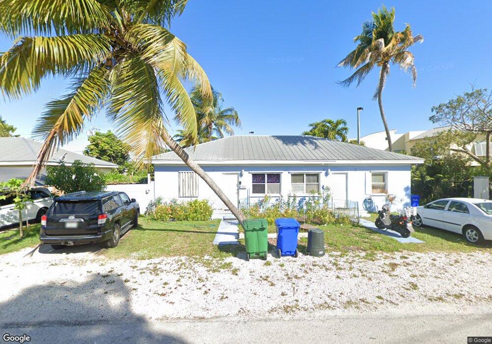
2015 Roosevelt Dr Key West, FL 33040
Mid Town NeighborhoodEstimated Value: $926,000 - $1,032,000
4
Beds
2
Baths
1,500
Sq Ft
$645/Sq Ft
Est. Value
About This Home
This home is located at 2015 Roosevelt Dr, Key West, FL 33040 and is currently estimated at $967,000, approximately $644 per square foot. 2015 Roosevelt Dr is a home located in Monroe County with nearby schools including Horace O'Bryant School, Key West High School, and May Sands Montessori School.
Ownership History
Date
Name
Owned For
Owner Type
Purchase Details
Closed on
Sep 1, 1997
Bought by
Ahmed Mashin
Current Estimated Value
Purchase Details
Closed on
Jul 1, 1996
Bought by
Ahmed Mashin
Create a Home Valuation Report for This Property
The Home Valuation Report is an in-depth analysis detailing your home's value as well as a comparison with similar homes in the area
Home Values in the Area
Average Home Value in this Area
Purchase History
| Date | Buyer | Sale Price | Title Company |
|---|---|---|---|
| Ahmed Mashin | $234,000 | -- | |
| Ahmed Mashin | $125,000 | -- |
Source: Public Records
Tax History Compared to Growth
Tax History
| Year | Tax Paid | Tax Assessment Tax Assessment Total Assessment is a certain percentage of the fair market value that is determined by local assessors to be the total taxable value of land and additions on the property. | Land | Improvement |
|---|---|---|---|---|
| 2024 | $6,284 | $714,902 | $500,171 | $214,731 |
| 2023 | $6,284 | $704,193 | $494,734 | $209,459 |
| 2022 | $5,685 | $633,554 | $424,058 | $209,496 |
| 2021 | $5,251 | $503,894 | $323,480 | $180,414 |
| 2020 | $4,982 | $503,698 | $320,762 | $182,936 |
| 2019 | $4,485 | $413,843 | $243,290 | $170,553 |
| 2018 | $4,829 | $444,906 | $271,832 | $173,074 |
| 2017 | $4,708 | $428,399 | $0 | $0 |
| 2016 | $4,676 | $423,436 | $0 | $0 |
| 2015 | $4,311 | $348,005 | $0 | $0 |
| 2014 | $3,617 | $267,556 | $0 | $0 |
Source: Public Records
Map
Nearby Homes
- 1215 Bay St
- 1920 Patterson Ave
- 1925 Fogarty Ave
- 2105 Fogarty Ave
- 2016 Fogarty Ave
- 1830 Fogarty Ave Unit 4
- 1801 N Roosevelt Blvd Unit M28
- 1801 N Roosevelt Blvd Unit 8
- 1801 N Roosevelt Blvd Unit Marlin 22
- 1801 N Roosevelt Blvd Unit Tarpon 15
- 1824 Fogarty Ave
- 1730 United St
- 2109 Seidenberg Ave
- 2217 Harris Ave
- 1821 Harris Ave
- 1708 Duncan St
- 1229 5th St
- 1718 United St
- 18 Hilton Haven Rd
- 1704 Duncan St
- 2017 Roosevelt Dr
- 2013 Roosevelt Dr
- 2011 Roosevelt Dr
- 2009 Roosevelt Dr
- 2000 N Roosevelt Blvd
- 2008 Roosevelt Dr
- 2010 Roosevelt Dr
- 2014 Roosevelt Dr
- 2012 Roosevelt Dr
- 1225 2nd St
- 2007 Roosevelt Dr
- 1980 N Roosevelt Blvd
- 1221 2nd St
- 2016 Roosevelt Dr
- 1223 2nd St
- 1221 2nd St
- 1990 N Roosevelt Blvd
- 1213 Bay St
- 1218 3rd St
- 1218 3rd St