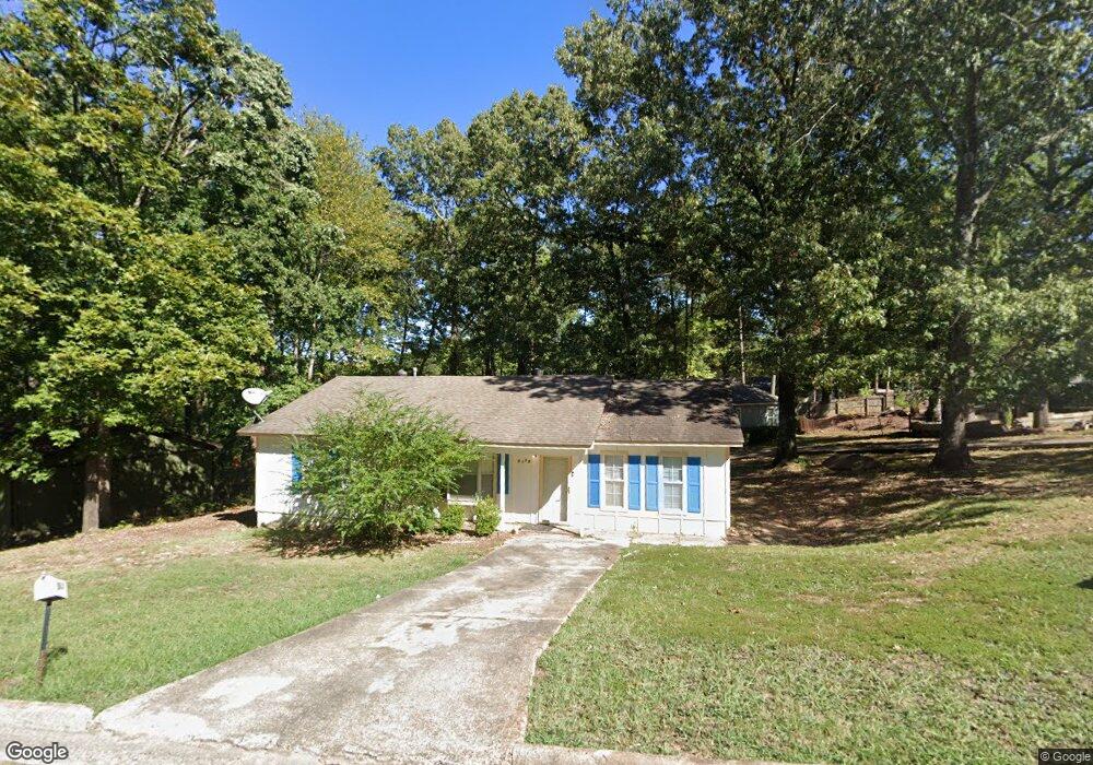
2015 Singleton Ct Little Rock, AR 72204
John Barrow NeighborhoodEstimated Value: $121,000 - $189,000
3
Beds
2
Baths
1,448
Sq Ft
$109/Sq Ft
Est. Value
About This Home
This home is located at 2015 Singleton Ct, Little Rock, AR 72204 and is currently estimated at $157,122, approximately $108 per square foot. 2015 Singleton Ct is a home located in Pulaski County with nearby schools including Bale Elementary School, J.A. Fair K8 Preparatory School, and Little Rock Southwest High School.
Ownership History
Date
Name
Owned For
Owner Type
Purchase Details
Closed on
Sep 19, 2025
Sold by
Rei Nation Llc
Bought by
Nathan And Debbie Lew Trust and Lew
Current Estimated Value
Home Financials for this Owner
Home Financials are based on the most recent Mortgage that was taken out on this home.
Original Mortgage
$140,250
Outstanding Balance
$140,250
Interest Rate
6.63%
Mortgage Type
New Conventional
Estimated Equity
$16,872
Purchase Details
Closed on
May 5, 2025
Sold by
Ganaway China M and Allen China
Bought by
Rei Nation Llc
Create a Home Valuation Report for This Property
The Home Valuation Report is an in-depth analysis detailing your home's value as well as a comparison with similar homes in the area
Home Values in the Area
Average Home Value in this Area
Purchase History
| Date | Buyer | Sale Price | Title Company |
|---|---|---|---|
| Nathan And Debbie Lew Trust | $187,000 | Cabot Title | |
| Rei Nation Llc | $75,000 | American Abstract & Title |
Source: Public Records
Mortgage History
| Date | Status | Borrower | Loan Amount |
|---|---|---|---|
| Open | Nathan And Debbie Lew Trust | $140,250 |
Source: Public Records
Tax History
| Year | Tax Paid | Tax Assessment Tax Assessment Total Assessment is a certain percentage of the fair market value that is determined by local assessors to be the total taxable value of land and additions on the property. | Land | Improvement |
|---|---|---|---|---|
| 2025 | $1,060 | $18,792 | $1,000 | $17,792 |
| 2024 | $972 | $18,792 | $1,000 | $17,792 |
| 2023 | $972 | $18,792 | $1,000 | $17,792 |
| 2022 | $928 | $18,792 | $1,000 | $17,792 |
| 2021 | $890 | $12,620 | $2,200 | $10,420 |
| 2020 | $508 | $12,620 | $2,200 | $10,420 |
| 2019 | $508 | $12,620 | $2,200 | $10,420 |
| 2018 | $883 | $12,620 | $2,200 | $10,420 |
| 2017 | $883 | $12,620 | $2,200 | $10,420 |
| 2016 | $1,142 | $16,570 | $2,840 | $13,730 |
| 2015 | $1,098 | $15,659 | $2,840 | $12,819 |
| 2014 | $1,098 | $14,359 | $2,840 | $11,519 |
Source: Public Records
Map
Nearby Homes
- 2208 Singleton Cove
- 2301 Vancouver Dr
- 3918 W 23rd St
- 8300 W 23rd St
- 1710 Village Lake Dr
- 8127 Kanis Pines Dr
- 2522 Quebec Dr
- 8108 Kanis Pines Dr
- 8116 Kanis Pines Dr
- 7921 Kanis Oaks Dr
- 8200 Kanis Pines Dr
- Lot 8 Kanis Oaks Dr
- 8010 Kanis Oaks Dr
- 8 Bay St
- 8324 W 29th St
- 2601 Longcoy St
- 2911 Wynne Dr
- 1906 Leander Dr
- 2706 Longcoy St
- 3101 Gilman St
- 2103 Singleton Ct
- tba Singleton Ct
- 2009 Singleton Ct
- 2107 Singleton Ct
- 2102 Singleton Ct
- 2014 Singleton Ct
- 2108 Singleton Ct
- 2018 Vancouver Dr
- 2024 Vancouver Dr
- 2012 Vancouver Dr
- 2115 Singleton Ct
- 2111 Singleton Ct
- 2100 Vancouver Dr
- Lot 8 Singleton Ct
- 2010 Singleton Ct
- 2006 Vancouver Dr
- 2106 Vancouver Dr
- 2001 Singleton Ct
- 2116 Singleton Ct
- 2105 Scotty Ct
Your Personal Tour Guide
Ask me questions while you tour the home.