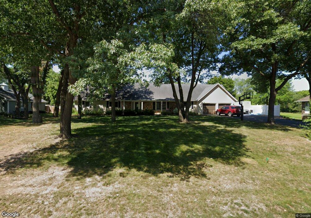
2015 Summit Dr Saint Cloud, MN 56303
Estimated Value: $408,000 - $497,000
5
Beds
5
Baths
917
Sq Ft
$499/Sq Ft
Est. Value
About This Home
This home is located at 2015 Summit Dr, Saint Cloud, MN 56303 and is currently estimated at $457,284, approximately $498 per square foot. 2015 Summit Dr is a home located in Stearns County with nearby schools including Madison Elementary School, North Junior High School, and Apollo Senior High School.
Ownership History
Date
Name
Owned For
Owner Type
Purchase Details
Closed on
Jan 29, 2021
Sold by
Drong Michael and Drog Lisa
Bought by
Robson Catherine L
Current Estimated Value
Purchase Details
Closed on
Jul 13, 2015
Sold by
Hauge Mark Mark
Bought by
Drong Michael Michael
Home Financials for this Owner
Home Financials are based on the most recent Mortgage that was taken out on this home.
Original Mortgage
$327,000
Interest Rate
4.04%
Create a Home Valuation Report for This Property
The Home Valuation Report is an in-depth analysis detailing your home's value as well as a comparison with similar homes in the area
Purchase History
| Date | Buyer | Sale Price | Title Company |
|---|---|---|---|
| Robson Catherine L | $373,000 | First American Title | |
| Drong Michael Michael | $330,000 | -- | |
| Robson Catherine Catherine | $373,000 | -- |
Source: Public Records
Mortgage History
| Date | Status | Borrower | Loan Amount |
|---|---|---|---|
| Previous Owner | Drong Michael Michael | $327,000 |
Source: Public Records
Tax History
| Year | Tax Paid | Tax Assessment Tax Assessment Total Assessment is a certain percentage of the fair market value that is determined by local assessors to be the total taxable value of land and additions on the property. | Land | Improvement |
|---|---|---|---|---|
| 2025 | $5,350 | $409,300 | $50,000 | $359,300 |
| 2024 | $5,374 | $409,300 | $50,000 | $359,300 |
| 2023 | $5,408 | $409,300 | $50,000 | $359,300 |
| 2022 | $5,218 | $367,400 | $50,000 | $317,400 |
| 2021 | $5,220 | $367,400 | $50,000 | $317,400 |
| 2020 | $5,100 | $367,400 | $50,000 | $317,400 |
| 2019 | $5,178 | $349,400 | $50,000 | $299,400 |
| 2018 | $4,874 | $326,900 | $50,000 | $276,900 |
| 2017 | $4,726 | $301,100 | $50,000 | $251,100 |
| 2016 | $4,350 | $0 | $0 | $0 |
| 2015 | $4,260 | $0 | $0 | $0 |
| 2014 | -- | $0 | $0 | $0 |
Source: Public Records
Map
Nearby Homes
- 2021 Hillcrest Dr
- 2004 Hillcrest Dr
- 3300 321st St
- 3342 321st St
- 2016 Forest Ct
- 1715 Hillcrest Rd
- 2161 Mill Pond Dr
- 2177 Mill Pond Dr
- 32467 County Road 1
- 2513 19th St N
- 1416 9th Ave N
- 1412 9th Ave N
- 809 Broadway Ave S
- 1403 8th Ave N
- 2030 Stearns Way
- 707 2nd Ave S
- 2532 19th St N
- 2563 Colony Cir
- 1201 13th St N
- 720 3rd Ave N
- 2007 Summit Dr
- 2021 Summit Dr
- 2016 Summit Dr
- 2012 Summit Dr
- 2001 Summit Dr
- 920 Forest Dr
- 2000 Summit Dr
- 516 Hillcrest Dr
- 921 Forest Dr
- 927 Forest Dr
- 2019 Hillcrest Dr
- 1915 Summit Dr
- 919 Forest Dr
- 2002 Hillcrest Dr
- 2005 Hillcrest Dr
- 917 Forest Dr
- 915 Forest Dr
- 1919 Summit Dr
- 2022 Hillcrest Dr
- 2018 Hillcrest Dr
Your Personal Tour Guide
Ask me questions while you tour the home.