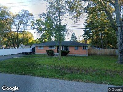
20150 Melrose St Southfield, MI 48075
Estimated Value: $171,662 - $205,000
3
Beds
2
Baths
1,456
Sq Ft
$134/Sq Ft
Est. Value
About This Home
This home is located at 20150 Melrose St, Southfield, MI 48075 and is currently estimated at $195,166, approximately $134 per square foot. 20150 Melrose St is a home located in Oakland County with nearby schools including Madison-Carver Academy, Agbu Alex-Marie Manoogian School, and Corpus Christi.
Ownership History
Date
Name
Owned For
Owner Type
Purchase Details
Closed on
Sep 18, 2003
Sold by
Deane George L and Deane Alma R
Bought by
Beard Flantz and Beard Rhonda Benjamin
Current Estimated Value
Home Financials for this Owner
Home Financials are based on the most recent Mortgage that was taken out on this home.
Original Mortgage
$120,000
Interest Rate
8.4%
Mortgage Type
Unknown
Purchase Details
Closed on
Jun 13, 2002
Sold by
Deane Alma R
Bought by
Deane George L
Home Financials for this Owner
Home Financials are based on the most recent Mortgage that was taken out on this home.
Original Mortgage
$90,000
Interest Rate
6.82%
Mortgage Type
Purchase Money Mortgage
Create a Home Valuation Report for This Property
The Home Valuation Report is an in-depth analysis detailing your home's value as well as a comparison with similar homes in the area
Home Values in the Area
Average Home Value in this Area
Purchase History
| Date | Buyer | Sale Price | Title Company |
|---|---|---|---|
| Beard Flantz | $118,000 | Cornerstone Title Agency | |
| Deane George L | -- | -- |
Source: Public Records
Mortgage History
| Date | Status | Borrower | Loan Amount |
|---|---|---|---|
| Open | Beard Flantz | $123,000 | |
| Previous Owner | Beard Flantz | $120,000 | |
| Previous Owner | Deane George L | $90,000 |
Source: Public Records
Tax History Compared to Growth
Tax History
| Year | Tax Paid | Tax Assessment Tax Assessment Total Assessment is a certain percentage of the fair market value that is determined by local assessors to be the total taxable value of land and additions on the property. | Land | Improvement |
|---|---|---|---|---|
| 2022 | $1,783 | $56,160 | $7,580 | $48,580 |
| 2021 | $1,670 | $48,450 | $7,580 | $40,870 |
| 2020 | $1,466 | $44,090 | $7,580 | $36,510 |
| 2018 | $1,729 | $31,430 | $7,580 | $23,850 |
| 2015 | -- | $23,360 | $0 | $0 |
| 2014 | -- | $24,340 | $0 | $0 |
| 2011 | -- | $25,210 | $0 | $0 |
Source: Public Records
Map
Nearby Homes
- 21311 Evergreen Rd
- 21128 Evergreen Rd
- 20980 Evergreen Rd
- 20427 Westland Dr Unit 4
- 21502 Buttercrest St
- 20450 Midway Ave
- 19700 Greenwald Dr
- 20746 Westland Dr
- 19880 Hazelhurst St
- 20581 Kentfield St
- 20711 Westhaven Ave
- 20566 Patton St
- 21105 Midway Ave
- 19025 Melrose Ave
- 20533 Braile St
- 20225 Vaughan St
- 19595 Mahon St
- 20944 Mada Ave
- 20240 Patton St
- 20511 Pierson St
- 20150 Melrose St
- 20170 Melrose St
- 21369 Evergreen Rd
- 21415 Evergreen Rd
- 21341 Evergreen Rd
- 20165 Melrose St
- 20174 Melrose St
- 20173 Melrose St
- 21390 Evergreen Rd
- 21360 Evergreen Rd
- 20190 Westland Dr
- 0 Melrose Unit 5637539
- 0 Melrose Unit 4914563
- 0 Melrose Unit 4916837
- 0 Melrose Unit 4914945
- 0 Melrose Unit 4907325
- 21330 Evergreen Rd
- 19999 Magnolia Pkwy
- 21344 Evergreen Rd
- 20245 Melrose St