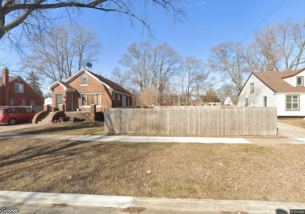
20151 Anglin St Detroit, MI 48234
Butler NeighborhoodEstimated Value: $69,000 - $104,000
3
Beds
1
Bath
1,000
Sq Ft
$88/Sq Ft
Est. Value
About This Home
This home is located at 20151 Anglin St, Detroit, MI 48234 and is currently estimated at $88,000, approximately $88 per square foot. 20151 Anglin St is a home located in Wayne County with nearby schools including Nolan Elementary/Middle School, Edward 'Duke' Ellington Conservatory of Music and Art, and Charles L. Spain Elementary-Middle School.
Ownership History
Date
Name
Owned For
Owner Type
Purchase Details
Closed on
May 25, 2018
Sold by
The Detroit Land Bank Authority
Bought by
Elite Ashley
Current Estimated Value
Purchase Details
Closed on
Feb 7, 2013
Sold by
Wayne County Treasurer
Bought by
Planning & Development Dept City Of Detr
Purchase Details
Closed on
Jun 5, 2009
Sold by
Donovan Shaun
Bought by
Allen Patricia
Purchase Details
Closed on
May 8, 2007
Sold by
Everbank
Bought by
Hud
Purchase Details
Closed on
Nov 1, 2006
Sold by
Anderson Wanda
Bought by
Everbank and Alliance Mortgage Co
Create a Home Valuation Report for This Property
The Home Valuation Report is an in-depth analysis detailing your home's value as well as a comparison with similar homes in the area
Home Values in the Area
Average Home Value in this Area
Purchase History
| Date | Buyer | Sale Price | Title Company |
|---|---|---|---|
| Elite Ashley | -- | None Available | |
| Planning & Development Dept City Of Detr | -- | None Available | |
| Allen Patricia | $2,000 | None Available | |
| Hud | -- | None Available | |
| Everbank | $41,153 | None Available |
Source: Public Records
Tax History Compared to Growth
Tax History
| Year | Tax Paid | Tax Assessment Tax Assessment Total Assessment is a certain percentage of the fair market value that is determined by local assessors to be the total taxable value of land and additions on the property. | Land | Improvement |
|---|---|---|---|---|
| 2025 | $30 | $1,100 | $0 | $0 |
| 2024 | $30 | $400 | $0 | $0 |
| 2023 | $31 | $400 | $0 | $0 |
| 2022 | $35 | $400 | $0 | $0 |
| 2021 | $35 | $400 | $0 | $0 |
| 2020 | $35 | $400 | $0 | $0 |
| 2019 | $0 | $0 | $0 | $0 |
| 2018 | $0 | $0 | $0 | $0 |
| 2017 | $2,560 | $0 | $0 | $0 |
| 2016 | $2,560 | $0 | $0 | $0 |
| 2015 | $2,560 | $0 | $0 | $0 |
| 2013 | $2,560 | $25,596 | $0 | $0 |
| 2010 | -- | $37,528 | $1,198 | $36,330 |
Source: Public Records
Map
Nearby Homes
- 20021 Mackay St
- 20121 Mitchell St
- 20048 Fleming St
- 19951 Mackay St
- 19958 Harned St
- 20021 Fleming St
- 19948 Mitchell St
- 20037 Gallagher St
- 20181 Lumpkin St
- 20156 Gallagher St
- 23421 Harned St Unit 4
- 23429 Harned St Unit 5
- 23485 Harned St Unit 10
- 23420 Harned St Unit 1
- 20028 Gallagher St
- 20209 Revere St
- 20491 Klinger St
- 19626 Mackay St
- 19624 Anglin St
- 19629 Harned St
- 20161 Anglin St
- 20145 Anglin St
- 20169 Anglin St
- 20141 Anglin St
- 20133 Anglin St
- 20177 Anglin St
- 20156 Mackay St
- 20144 Mackay St
- 20164 Mackay St
- 20129 Anglin St
- 20136 Mackay St
- 20185 Anglin St
- 20172 Mackay St
- 20128 Mackay St
- 20117 Anglin St
- 20182 Mackay St
- 20191 Anglin St
- 20152 Anglin St
- 20160 Anglin St
- 20120 Mackay St