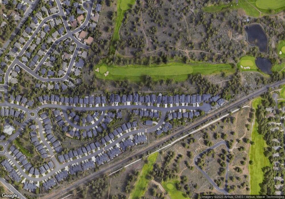
20158 Stonegate Dr Bend, OR 97702
Southeast Bend NeighborhoodEstimated Value: $879,000 - $1,015,000
4
Beds
3
Baths
2,850
Sq Ft
$330/Sq Ft
Est. Value
About This Home
This home is located at 20158 Stonegate Dr, Bend, OR 97702 and is currently estimated at $939,608, approximately $329 per square foot. 20158 Stonegate Dr is a home located in Deschutes County with nearby schools including R.E. Jewell Elementary School, High Desert Middle School, and Morning Star Christian School.
Ownership History
Date
Name
Owned For
Owner Type
Purchase Details
Closed on
Jun 24, 2024
Sold by
West Andrew J and West Rebecca D
Bought by
West Family Trust and West
Current Estimated Value
Purchase Details
Closed on
Nov 3, 2010
Sold by
Hof Financial I Llc
Bought by
West Andrew J and West Rebecca D
Home Financials for this Owner
Home Financials are based on the most recent Mortgage that was taken out on this home.
Original Mortgage
$290,400
Interest Rate
4.33%
Mortgage Type
New Conventional
Create a Home Valuation Report for This Property
The Home Valuation Report is an in-depth analysis detailing your home's value as well as a comparison with similar homes in the area
Home Values in the Area
Average Home Value in this Area
Purchase History
| Date | Buyer | Sale Price | Title Company |
|---|---|---|---|
| West Family Trust | -- | None Listed On Document | |
| West Andrew J | $109,600 | Amerititle |
Source: Public Records
Mortgage History
| Date | Status | Borrower | Loan Amount |
|---|---|---|---|
| Previous Owner | West Andrew J | $290,400 |
Source: Public Records
Tax History
| Year | Tax Paid | Tax Assessment Tax Assessment Total Assessment is a certain percentage of the fair market value that is determined by local assessors to be the total taxable value of land and additions on the property. | Land | Improvement |
|---|---|---|---|---|
| 2025 | $7,320 | $433,220 | -- | -- |
| 2024 | $7,043 | $420,610 | -- | -- |
| 2023 | $6,528 | $408,360 | $0 | $0 |
| 2022 | $6,091 | $384,930 | $0 | $0 |
| 2021 | $6,100 | $373,720 | $0 | $0 |
| 2020 | $5,787 | $373,720 | $0 | $0 |
| 2019 | $5,626 | $362,840 | $0 | $0 |
| 2018 | $5,467 | $352,280 | $0 | $0 |
| 2017 | $5,307 | $342,020 | $0 | $0 |
| 2016 | $5,061 | $332,060 | $0 | $0 |
| 2015 | $4,921 | $322,390 | $0 | $0 |
| 2014 | $4,776 | $313,000 | $0 | $0 |
Source: Public Records
Map
Nearby Homes
- 60523 SE Hedgewood Ln
- 20106 Stonegate Dr
- 60414 Hedgewood Ln
- 60819 Grand Targhee Dr
- 60220 Rolled Rock Way
- 60208 Rolled Rock Way
- 60808 Sawtooth Mountain Ln
- 60291 Addie Triplett Loop
- 60889 Parrell Rd
- 60749 Willow Creek Loop
- 60733 Willow Creek Loop
- 60716 Willow Creek Loop
- 61194 Geary Dr
- 61150 Geary Dr
- 61014 SE Geary Dr
- 20176 Hawes Ln
- 61022 Parrell Rd
- 20375 Big Bear Ct
- 20380 Tailblock Rd
- 20412 Buttermilk
- 20154 Stonegate Dr
- 20162 Stonegate Dr
- 20150 Stonegate Dr
- 20166 Stonegate Dr
- 61134 SE Berkshire Way
- 20145 Stonegate Dr
- 20149 Stonegate Dr
- 20170 Stonegate Dr
- 20153 Stonegate Dr
- 20146 Stonegate Dr
- 20157 Stonegate Dr
- 61146 SE Berkshire Way Unit Lot 76
- 20520 SE Dorset Place Unit 85
- 20536 SE Dorset Place Unit Lot 81
- 61142 SE Berkshire Way Unit Lot 75
- 20528 SE Dorset Place Unit Lot 83
- 20528 SE Dorset Place
- 20524 Aberdeen Ct Unit Lot 71
- 20532 SE Dorset Place Unit Lot 82
- 20508 SE Dorset Place
