2016 Brookside Ct Frankfort, IN 46041
Estimated Value: $251,000 - $285,000
3
Beds
2
Baths
1,323
Sq Ft
$202/Sq Ft
Est. Value
About This Home
This home is located at 2016 Brookside Ct, Frankfort, IN 46041 and is currently estimated at $267,261, approximately $202 per square foot. 2016 Brookside Ct is a home located in Clinton County with nearby schools including Frankfort Senior High School and Frankfort Covenant Academy.
Ownership History
Date
Name
Owned For
Owner Type
Purchase Details
Closed on
Mar 10, 2011
Sold by
Reimer Gregg
Bought by
Cole Jamie S
Current Estimated Value
Home Financials for this Owner
Home Financials are based on the most recent Mortgage that was taken out on this home.
Original Mortgage
$89,637
Outstanding Balance
$62,453
Interest Rate
5.09%
Mortgage Type
New Conventional
Estimated Equity
$204,808
Purchase Details
Closed on
Oct 24, 2010
Sold by
Maddox Leslie R and Maddox Christy M
Bought by
Wells Fargo Financial Indiana Inc
Purchase Details
Closed on
Jun 1, 1998
Sold by
Jacobs Stephen C and Jacobs Denise L
Bought by
Maddox Leslie R and Maddox Cindy A
Purchase Details
Closed on
Jun 12, 1996
Sold by
Bruce Gunstra Builders Inc
Bought by
Jacobs Stephen C and Jacobs Denise
Create a Home Valuation Report for This Property
The Home Valuation Report is an in-depth analysis detailing your home's value as well as a comparison with similar homes in the area
Home Values in the Area
Average Home Value in this Area
Purchase History
| Date | Buyer | Sale Price | Title Company |
|---|---|---|---|
| Cole Jamie S | $86,500 | Rels Title | |
| Wells Fargo Financial Indiana Inc | -- | None Available | |
| Maddox Leslie R | $109,000 | -- | |
| Jacobs Stephen C | $102,340 | -- |
Source: Public Records
Mortgage History
| Date | Status | Borrower | Loan Amount |
|---|---|---|---|
| Open | Cole Jamie S | $89,637 |
Source: Public Records
Tax History Compared to Growth
Tax History
| Year | Tax Paid | Tax Assessment Tax Assessment Total Assessment is a certain percentage of the fair market value that is determined by local assessors to be the total taxable value of land and additions on the property. | Land | Improvement |
|---|---|---|---|---|
| 2024 | $1,560 | $143,800 | $26,300 | $117,500 |
| 2023 | $1,580 | $143,800 | $26,300 | $117,500 |
| 2022 | $1,616 | $143,800 | $26,300 | $117,500 |
| 2021 | $1,492 | $132,600 | $26,300 | $106,300 |
| 2020 | $1,556 | $135,400 | $26,300 | $109,100 |
| 2019 | $1,558 | $135,400 | $26,300 | $109,100 |
| 2018 | $1,544 | $135,400 | $26,300 | $109,100 |
| 2017 | $1,473 | $128,400 | $22,100 | $106,300 |
| 2016 | $1,487 | $111,300 | $22,100 | $89,200 |
| 2014 | $941 | $111,500 | $22,100 | $89,400 |
Source: Public Records
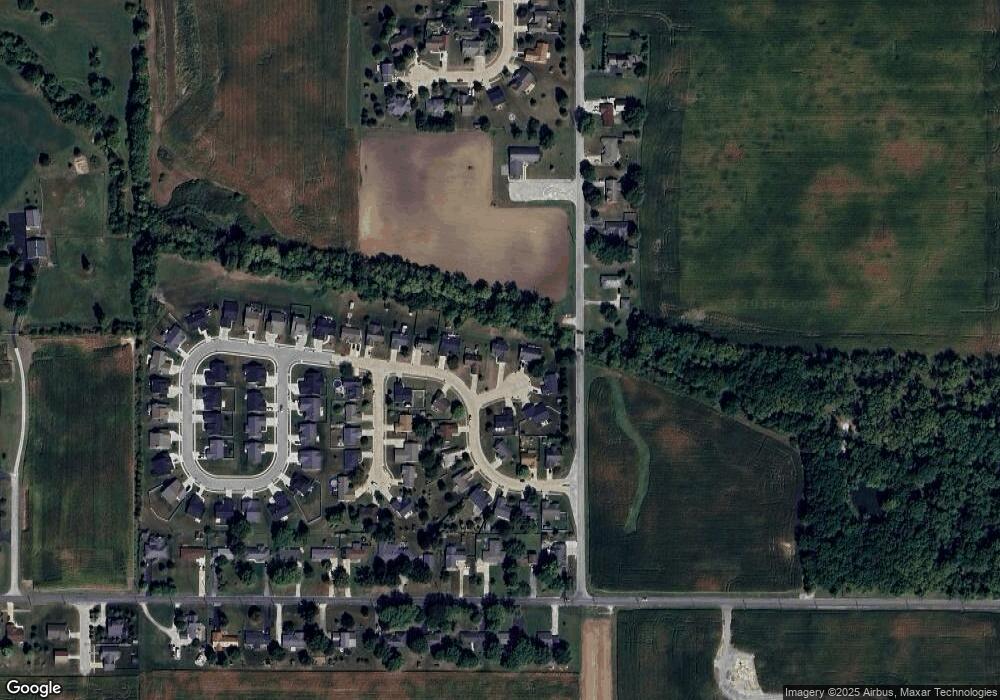
Map
Nearby Homes
- 1816 Southridge Dr
- 1828 Southridge Dr
- 759 Sunrise Dr Unit 111
- 837 Sunrise Dr Unit 119
- 832 Sunrise Dr Unit 118
- 829 Sunrise Dr Unit 117
- 806 Sunrise Dr Unit 112
- 813 Sunrise Dr Unit 113
- 826 Sunrise Dr Unit 116
- 845 Sunrise Dr Unit 121
- 821 Sunrise Dr Unit 115
- 851 Sunrise Dr Unit 123
- 848 Sunrise Dr Unit 122
- 842 Sunrise Dr Unit 120
- 818 Sunrise Dr Unit 114
- 2259 Wilshire Dr
- 1309 Lea Ct
- 840 S Hoke Ave
- 837 S Hoke Ave
- 909 S Hoke Ave
- 2000 Southridge Dr
- 2030 Brookside Ct
- 1948 Southridge Dr
- 2040 Brookside Ct
- 2015 Brookside Ct
- 1934 Southridge Dr
- 1951 Southridge Dr
- 2031 Brookside Ct
- 1922 Southridge Dr
- 2001 Southridge Dr
- 1927 Southridge Dr
- 2012 Southridge Dr
- 2034 Southridge Dr
- 1627 Broadmoor Ct
- 1906 Southridge Dr
- 2048 Southridge Dr
- 1659 S Maish Rd
- 2005 Southridge Dr
- 1643 Broadmoor Ct
- 1854 Southridge Dr