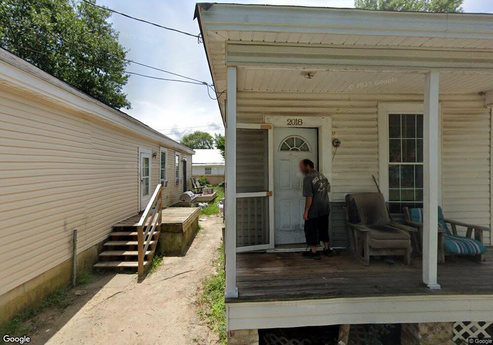
2016 Browns Ln Augusta, GA 30904
West End NeighborhoodEstimated Value: $33,000 - $65,000
1
Bed
1
Bath
725
Sq Ft
$69/Sq Ft
Est. Value
About This Home
This home is located at 2016 Browns Ln, Augusta, GA 30904 and is currently estimated at $50,294, approximately $69 per square foot. 2016 Browns Ln is a home located in Richmond County with nearby schools including Lamar Elementary School, W.S. Hornsby Elementary School, and Johnson Magnet.
Ownership History
Date
Name
Owned For
Owner Type
Purchase Details
Closed on
Dec 30, 2020
Sold by
Leverett Regina Star
Bought by
Garden City Commercial Llc
Current Estimated Value
Purchase Details
Closed on
Dec 18, 2020
Sold by
Wilson Michael William
Bought by
Leverett Regina S
Purchase Details
Closed on
Mar 20, 2017
Sold by
Wilson Jimmy Christopher E
Bought by
Wilson Michael William
Purchase Details
Closed on
Jan 8, 2004
Sold by
Mcnair Linda Faye
Bought by
Wilson Paris
Purchase Details
Closed on
Sep 8, 1994
Sold by
Powell Eunice Randall Estate Of By Admr
Bought by
Wilson Paris Mcnair Faye Mc Nair Fa
Purchase Details
Closed on
Aug 17, 1994
Sold by
Powell Eunice Rental Estate Of By Admr
Bought by
Wilson Paris Mcnair Faye Mc Nair Fa
Purchase Details
Closed on
Jul 11, 1994
Sold by
Powell Eunice Randa
Bought by
White Richard W
Purchase Details
Closed on
Jun 1, 1973
Create a Home Valuation Report for This Property
The Home Valuation Report is an in-depth analysis detailing your home's value as well as a comparison with similar homes in the area
Home Values in the Area
Average Home Value in this Area
Purchase History
| Date | Buyer | Sale Price | Title Company |
|---|---|---|---|
| Garden City Commercial Llc | $22,000 | -- | |
| Leverett Regina S | -- | -- | |
| Wilson Michael William | -- | -- | |
| Wilson Paris | -- | -- | |
| Wilson Paris Mcnair Faye Mc Nair Fa | -- | -- | |
| Wilson Paris Mcnair Faye Mc Nair Fa | -- | -- | |
| White Richard W | $2,000 | -- | |
| -- | $3,000 | -- |
Source: Public Records
Tax History
| Year | Tax Paid | Tax Assessment Tax Assessment Total Assessment is a certain percentage of the fair market value that is determined by local assessors to be the total taxable value of land and additions on the property. | Land | Improvement |
|---|---|---|---|---|
| 2025 | $888 | $11,080 | $720 | $10,360 |
| 2024 | $888 | $12,916 | $720 | $12,196 |
| 2023 | $693 | $11,296 | $720 | $10,576 |
| 2022 | $510 | $6,533 | $720 | $5,813 |
| 2021 | $411 | $4,646 | $715 | $3,931 |
| 2020 | $506 | $5,931 | $2,000 | $3,931 |
| 2019 | $486 | $4,948 | $2,000 | $2,948 |
| 2018 | $527 | $6,066 | $2,000 | $4,066 |
| 2017 | $427 | $4,744 | $2,000 | $2,744 |
| 2016 | $324 | $4,744 | $2,000 | $2,744 |
| 2015 | $325 | $4,744 | $2,000 | $2,744 |
| 2014 | $481 | $4,744 | $2,000 | $2,744 |
Source: Public Records
Map
Nearby Homes
Your Personal Tour Guide
Ask me questions while you tour the home.