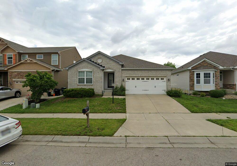
2016 Faith St Cincinnati, OH 45237
Bond Hill NeighborhoodEstimated Value: $281,180 - $436,000
--
Bed
--
Bath
1,500
Sq Ft
$237/Sq Ft
Est. Value
About This Home
This home is located at 2016 Faith St, Cincinnati, OH 45237 and is currently estimated at $354,795, approximately $236 per square foot. 2016 Faith St is a home with nearby schools including Bond Hill Academy Elementary School, Shroder High School, and Clark Montessori High School.
Ownership History
Date
Name
Owned For
Owner Type
Purchase Details
Closed on
Jun 12, 2017
Sold by
The Drees Company
Bought by
Chandler Charisma D
Current Estimated Value
Home Financials for this Owner
Home Financials are based on the most recent Mortgage that was taken out on this home.
Original Mortgage
$195,500
Outstanding Balance
$162,749
Interest Rate
4.05%
Mortgage Type
New Conventional
Estimated Equity
$192,046
Purchase Details
Closed on
Feb 15, 2017
Sold by
Allen Temple Tryed Stone Dev Ltd
Bought by
Drees Company
Create a Home Valuation Report for This Property
The Home Valuation Report is an in-depth analysis detailing your home's value as well as a comparison with similar homes in the area
Home Values in the Area
Average Home Value in this Area
Purchase History
| Date | Buyer | Sale Price | Title Company |
|---|---|---|---|
| Chandler Charisma D | $258,763 | None Available | |
| Drees Company | $36,000 | -- |
Source: Public Records
Mortgage History
| Date | Status | Borrower | Loan Amount |
|---|---|---|---|
| Open | Chandler Charisma D | $195,500 |
Source: Public Records
Tax History Compared to Growth
Tax History
| Year | Tax Paid | Tax Assessment Tax Assessment Total Assessment is a certain percentage of the fair market value that is determined by local assessors to be the total taxable value of land and additions on the property. | Land | Improvement |
|---|---|---|---|---|
| 2024 | $735 | $89,373 | $11,375 | $77,998 |
| 2023 | $736 | $89,373 | $11,375 | $77,998 |
| 2022 | $872 | $90,566 | $12,173 | $78,393 |
| 2021 | $853 | $90,566 | $12,173 | $78,393 |
| 2020 | $855 | $90,566 | $12,173 | $78,393 |
| 2019 | $878 | $90,566 | $11,375 | $79,191 |
| 2018 | $868 | $11,375 | $11,375 | $0 |
| 2017 | $836 | $11,375 | $11,375 | $0 |
| 2016 | $942 | $12,502 | $12,502 | $0 |
| 2015 | $842 | $12,502 | $12,502 | $0 |
| 2014 | $846 | $12,502 | $12,502 | $0 |
| 2013 | $916 | $13,300 | $13,300 | $0 |
Source: Public Records
Map
Nearby Homes
- 2054 Mistyoak Ln
- 5728 Warren Ave
- 5725 Carthage Ave
- 1932 Truitt Ave
- 5621 Rolston Ave
- 1917 Truitt Ave
- 5223 Laconia Ave
- 5601 Warren Ave
- 5508 Warren Ave
- 1940 Dalewood Place
- 5432 Rolston Ave
- 5120 Lillian Dr
- 5447 Grafton Ave
- 2115 Quatman Ave
- 1870 Dalewood Place
- 1744 Northampton Dr
- 6019 Farmdale Rd
- 1855 Dalewood Place
- 1906 Andina Ave
- 5343 Hunter Ave