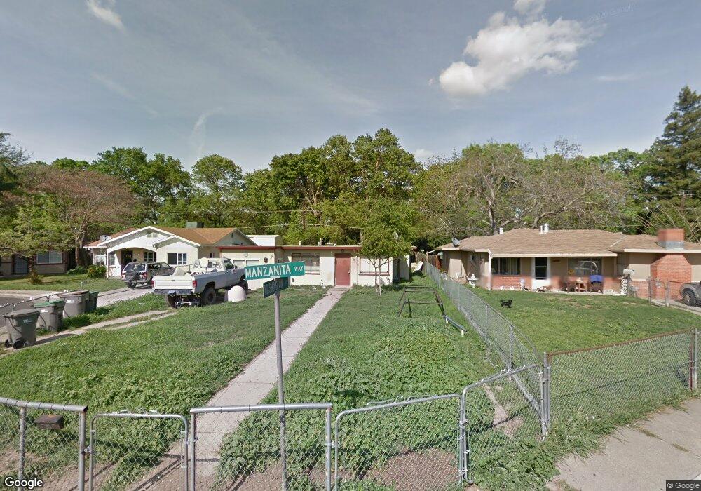
2016 Manzanita Way West Sacramento, CA 95691
Michigan-Glide-Sutter NeighborhoodEstimated Value: $308,000 - $338,000
2
Beds
1
Bath
765
Sq Ft
$426/Sq Ft
Est. Value
About This Home
This home is located at 2016 Manzanita Way, West Sacramento, CA 95691 and is currently estimated at $325,803, approximately $425 per square foot. 2016 Manzanita Way is a home located in Yolo County with nearby schools including Westfield Village Elementary School, River City High, and Sacramento Valley Charter School.
Ownership History
Date
Name
Owned For
Owner Type
Purchase Details
Closed on
May 25, 1999
Sold by
Kendrick Fred J
Bought by
Williams Mike D
Current Estimated Value
Home Financials for this Owner
Home Financials are based on the most recent Mortgage that was taken out on this home.
Original Mortgage
$69,053
Outstanding Balance
$17,635
Interest Rate
6.9%
Mortgage Type
FHA
Estimated Equity
$308,168
Create a Home Valuation Report for This Property
The Home Valuation Report is an in-depth analysis detailing your home's value as well as a comparison with similar homes in the area
Home Values in the Area
Average Home Value in this Area
Purchase History
| Date | Buyer | Sale Price | Title Company |
|---|---|---|---|
| Williams Mike D | $69,500 | First American Title Co |
Source: Public Records
Mortgage History
| Date | Status | Borrower | Loan Amount |
|---|---|---|---|
| Open | Williams Mike D | $69,053 | |
| Closed | Williams Mike D | $3,475 |
Source: Public Records
Tax History Compared to Growth
Tax History
| Year | Tax Paid | Tax Assessment Tax Assessment Total Assessment is a certain percentage of the fair market value that is determined by local assessors to be the total taxable value of land and additions on the property. | Land | Improvement |
|---|---|---|---|---|
| 2025 | $2,051 | $110,719 | $39,180 | $71,539 |
| 2023 | $2,051 | $106,421 | $37,659 | $68,762 |
| 2022 | $1,300 | $104,335 | $36,921 | $67,414 |
| 2021 | $1,286 | $102,291 | $36,198 | $66,093 |
| 2020 | $1,228 | $101,243 | $35,827 | $65,416 |
| 2019 | $1,212 | $99,259 | $35,125 | $64,134 |
| 2018 | $1,188 | $97,314 | $34,437 | $62,877 |
| 2017 | $1,174 | $95,407 | $33,762 | $61,645 |
| 2016 | $1,155 | $93,537 | $33,100 | $60,437 |
| 2015 | $1,047 | $92,133 | $32,603 | $59,530 |
| 2014 | $1,047 | $90,329 | $31,965 | $58,364 |
Source: Public Records
Map
Nearby Homes
- 431 Poplar Ave
- 1399 Sacramento Ave Unit 44
- 1399 Sacramento Ave
- 1399 Sacramento Ave Unit 21
- 1399 Sacramento Ave Unit 110
- 1529 Hobson Ave
- 528 Chaparral Way
- 1416 Sacramento Ave
- 1412 Sacramento Ave
- 1832 Rockrose Rd
- 417 Westacre Rd Unit 2
- 417 Westacre Rd Unit 22
- 745 N Hobson Ave
- 2000 W Capitol Ave Unit 125
- 1020 Fremont Blvd
- 1617 Lisbon Ave
- 904 Yolo St
- 808 Kegle Dr
- 637 Myrtle Ave
- 620 Smilax Ave
- 2012 Manzanita Way
- 2020 Manzanita Way
- 2008 Manzanita Way
- 2004 Manzanita Way
- 2024 Manzanita Way
- 401 Washington Ave
- 2000 Manzanita Way
- 2005 Manzanita Way
- 400 Washington Ave
- 402 Washington Ave
- 2028 Manzanita Way
- 403 Washington Ave
- 1924 Manzanita Way
- 2001 Manzanita Way
- 404 Washington Ave
- 1920 Manzanita Way
- 407 Washington Ave
- 406 Washington Ave
- 1917 Manzanita Way
- 408 Washington Ave