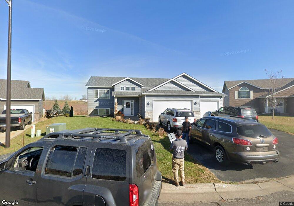
2016 Martini Dr Sauk Rapids, MN 56379
Estimated Value: $372,429 - $393,000
5
Beds
3
Baths
1,440
Sq Ft
$265/Sq Ft
Est. Value
About This Home
This home is located at 2016 Martini Dr, Sauk Rapids, MN 56379 and is currently estimated at $381,607, approximately $265 per square foot. 2016 Martini Dr is a home located in Benton County with nearby schools including Pleasant View Elementary School, Sauk Rapids-Rice Middle School, and Sauk Rapids-Rice Senior High School.
Ownership History
Date
Name
Owned For
Owner Type
Purchase Details
Closed on
Jun 30, 2005
Sold by
Wollak Development Inc
Bought by
Fale John E and Fale Lashawn D
Current Estimated Value
Home Financials for this Owner
Home Financials are based on the most recent Mortgage that was taken out on this home.
Original Mortgage
$213,655
Outstanding Balance
$109,249
Interest Rate
5.74%
Mortgage Type
New Conventional
Estimated Equity
$272,358
Create a Home Valuation Report for This Property
The Home Valuation Report is an in-depth analysis detailing your home's value as well as a comparison with similar homes in the area
Home Values in the Area
Average Home Value in this Area
Purchase History
| Date | Buyer | Sale Price | Title Company |
|---|---|---|---|
| Fale John E | $224,900 | None Available |
Source: Public Records
Mortgage History
| Date | Status | Borrower | Loan Amount |
|---|---|---|---|
| Open | Fale John E | $213,655 |
Source: Public Records
Tax History
| Year | Tax Paid | Tax Assessment Tax Assessment Total Assessment is a certain percentage of the fair market value that is determined by local assessors to be the total taxable value of land and additions on the property. | Land | Improvement |
|---|---|---|---|---|
| 2025 | $4,392 | $372,600 | $31,500 | $341,100 |
| 2024 | $4,516 | $353,200 | $31,500 | $321,700 |
| 2023 | $4,322 | $373,400 | $31,500 | $341,900 |
| 2022 | $3,982 | $328,600 | $28,700 | $299,900 |
| 2021 | $3,634 | $278,600 | $28,700 | $249,900 |
| 2018 | $3,170 | $209,500 | $25,540 | $183,960 |
| 2017 | $3,170 | $193,400 | $25,226 | $168,174 |
| 2016 | $3,094 | $206,700 | $27,600 | $179,100 |
| 2015 | $3,278 | $172,600 | $24,747 | $147,853 |
| 2014 | -- | $164,400 | $24,527 | $139,873 |
| 2013 | -- | $164,600 | $24,530 | $140,070 |
Source: Public Records
Map
Nearby Homes
- 1809 Eastern Star Loop
- 727 Garden Place
- 121 14th Ave N
- 113 14th Ave N
- 115 14th Ave N
- 1401 4 1/2 Ave N
- 111 14th Ave N
- 117 14th Ave N
- 1227 8th Ave N
- 1209 Oak Pond Dr
- 1804 Oak Pond Dr
- 1806 Oak Pond Dr
- 18th 18th
- 870 18th St NW
- 820 18th St NW
- 1107 10th Ave N
- 390 18th Street Ct NW
- 506 Oak Pond Dr
- 233 Pleasant Ridge Dr
- 122 Benton Oaks Dr
- 2020 Martini Dr
- 2012 Martini Dr
- 2008 Martini Dr
- 2019 Martini Dr
- 2005 Martini Dr
- 2009 Martini Dr
- 2004 Martini Dr
- 2013 Martini Dr
- 2001 Martini Dr
- 1921 Eastern Star Cir
- 1931 Eastern Star Cir
- 1927 Eastern Star Cir
- 1917 Eastern Star Cir
- 1920 Eastern Star Cir
- 1924 Eastern Star Cir
- 1935 Eastern Star Cir
- 1916 Eastern Star Cir
- 1928 Eastern Star Cir
- 1913 Eastern Star Cir
- 1939 Eastern Star Cir
Your Personal Tour Guide
Ask me questions while you tour the home.