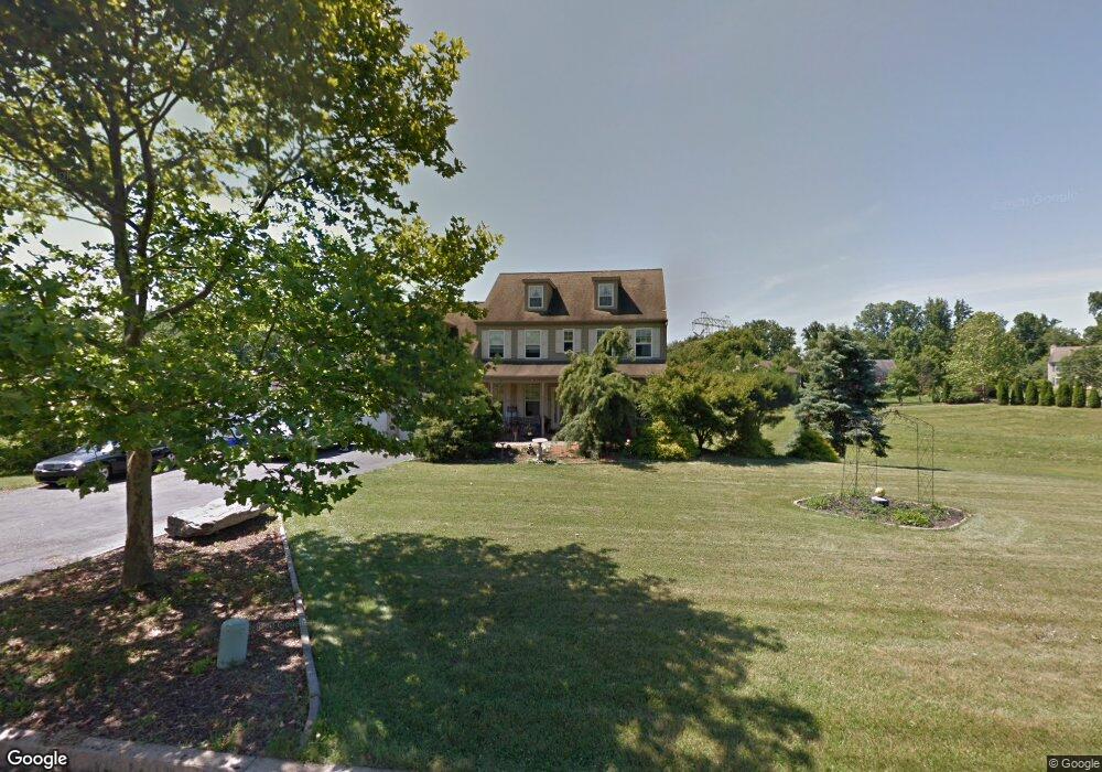
2016 Robert Burns Dr Aston, PA 19014
Estimated Value: $580,000 - $941,000
4
Beds
3
Baths
3,011
Sq Ft
$235/Sq Ft
Est. Value
About This Home
This home is located at 2016 Robert Burns Dr, Aston, PA 19014 and is currently estimated at $708,885, approximately $235 per square foot. 2016 Robert Burns Dr is a home located in Delaware County with nearby schools including Garnet Valley High School.
Ownership History
Date
Name
Owned For
Owner Type
Purchase Details
Closed on
Sep 24, 2007
Sold by
Tyson Michael P
Bought by
Tyson Babe
Current Estimated Value
Purchase Details
Closed on
May 21, 1998
Sold by
Tog Construction Co Inc
Bought by
Tyson Michael P
Home Financials for this Owner
Home Financials are based on the most recent Mortgage that was taken out on this home.
Original Mortgage
$180,000
Outstanding Balance
$34,957
Interest Rate
7.03%
Mortgage Type
Construction
Estimated Equity
$673,928
Create a Home Valuation Report for This Property
The Home Valuation Report is an in-depth analysis detailing your home's value as well as a comparison with similar homes in the area
Home Values in the Area
Average Home Value in this Area
Purchase History
| Date | Buyer | Sale Price | Title Company |
|---|---|---|---|
| Tyson Babe | -- | None Available | |
| Tyson Michael P | $70,000 | -- |
Source: Public Records
Mortgage History
| Date | Status | Borrower | Loan Amount |
|---|---|---|---|
| Open | Tyson Michael P | $180,000 |
Source: Public Records
Tax History Compared to Growth
Tax History
| Year | Tax Paid | Tax Assessment Tax Assessment Total Assessment is a certain percentage of the fair market value that is determined by local assessors to be the total taxable value of land and additions on the property. | Land | Improvement |
|---|---|---|---|---|
| 2025 | $9,912 | $423,050 | $131,850 | $291,200 |
| 2024 | $9,912 | $423,050 | $131,850 | $291,200 |
| 2023 | $9,682 | $423,050 | $131,850 | $291,200 |
| 2022 | $9,577 | $423,050 | $131,850 | $291,200 |
| 2021 | $15,981 | $423,050 | $131,850 | $291,200 |
| 2020 | $8,959 | $219,760 | $65,280 | $154,480 |
| 2019 | $8,831 | $219,760 | $65,280 | $154,480 |
| 2018 | $8,696 | $219,760 | $0 | $0 |
| 2017 | $8,530 | $219,760 | $0 | $0 |
| 2016 | $1,231 | $219,760 | $0 | $0 |
| 2015 | $1,231 | $219,760 | $0 | $0 |
| 2014 | $1,206 | $219,760 | $0 | $0 |
Source: Public Records
Map
Nearby Homes
- Aberlour Plan at Garnet Pointe
- Dalmore Plan at Garnet Pointe
- Rosebank Plan at Garnet Pointe
- Bowmore Plan at Garnet Pointe
- Monteverdi Plan at Garnet Pointe
- 1432 Colonial Dr
- 21 Cathy Ln
- 21 Eusden Dr
- 22 N Valentine Dr
- 103 Valleybrook Rd
- 1 Victoria Dr
- 1747 Garnet Mine Rd
- 1739 Garnet Mine Rd
- 213 Bishop Dr
- 4621 Aston Mills Rd
- 214 Bishop Dr
- 1372 Brookstone Dr
- 3074 Booth Dr
- 21 Hoag Ln
- 249 Mattson Rd
- 2010 Robert Burns Dr
- 2011 Robert Burns Dr
- 2005 Robert Burns Dr
- 2004 Robert Burns Dr
- 1160 Eleanor Cir
- 2034 Robert Burns Dr
- 1181 Chelsea Rd
- 1145 Eleanor Cir
- 1185 Chelsea Rd
- 1183 Chelsea Rd
- 1154 Eleanor Cir
- 2033 Robert Burns Dr
- 2038 Robert Burns Dr
- 1176 Chelsea Rd
- 1143 Chelsea Rd
- 2037 Robert Burns Dr
- 1191 Chelsea Rd
- 1166 Chelsea Rd
- 1137 Eleanor Cir
- 1148 Eleanor Cir