2016 S Shasta Ranch Rd Unit 1 Mount Shasta, CA 96067
Estimated Value: $245,000 - $699,000
3
Beds
2
Baths
2,006
Sq Ft
$255/Sq Ft
Est. Value
About This Home
This home is located at 2016 S Shasta Ranch Rd Unit 1, Mount Shasta, CA 96067 and is currently estimated at $510,686, approximately $254 per square foot. 2016 S Shasta Ranch Rd Unit 1 is a home located in Siskiyou County with nearby schools including Mt. Shasta Elementary School, Mt. Shasta High School, and Golden Eagle Charter School.
Ownership History
Date
Name
Owned For
Owner Type
Purchase Details
Closed on
Jul 26, 2011
Sold by
Jean Luis Edward A and Jean Luis Terri
Bought by
Luis Paul Anthony
Current Estimated Value
Home Financials for this Owner
Home Financials are based on the most recent Mortgage that was taken out on this home.
Original Mortgage
$100,000
Outstanding Balance
$68,883
Interest Rate
4.46%
Mortgage Type
New Conventional
Estimated Equity
$441,803
Purchase Details
Closed on
Dec 13, 2010
Sold by
Jean Luis Edward Anthony and Jean Luis Terri
Bought by
Luis Paul Anthony and Luis Edward A
Create a Home Valuation Report for This Property
The Home Valuation Report is an in-depth analysis detailing your home's value as well as a comparison with similar homes in the area
Home Values in the Area
Average Home Value in this Area
Purchase History
| Date | Buyer | Sale Price | Title Company |
|---|---|---|---|
| Luis Paul Anthony | $100,000 | Mt Shasta Title & Escrow Co | |
| Luis Paul Anthony | -- | None Available |
Source: Public Records
Mortgage History
| Date | Status | Borrower | Loan Amount |
|---|---|---|---|
| Open | Luis Paul Anthony | $100,000 |
Source: Public Records
Tax History Compared to Growth
Tax History
| Year | Tax Paid | Tax Assessment Tax Assessment Total Assessment is a certain percentage of the fair market value that is determined by local assessors to be the total taxable value of land and additions on the property. | Land | Improvement |
|---|---|---|---|---|
| 2025 | $2,693 | $258,329 | $43,517 | $214,812 |
| 2023 | $2,693 | $248,299 | $41,828 | $206,471 |
| 2022 | $2,589 | $243,431 | $41,008 | $202,423 |
| 2021 | $2,545 | $238,658 | $40,204 | $198,454 |
| 2020 | $1,968 | $182,412 | $39,792 | $142,620 |
| 2019 | $1,931 | $178,836 | $39,012 | $139,824 |
| 2018 | $1,894 | $175,331 | $38,248 | $137,083 |
| 2017 | $1,874 | $171,895 | $37,499 | $134,396 |
| 2016 | $1,838 | $168,525 | $36,764 | $131,761 |
| 2015 | $1,813 | $165,994 | $36,212 | $129,782 |
| 2014 | $1,779 | $162,743 | $35,503 | $127,240 |
Source: Public Records
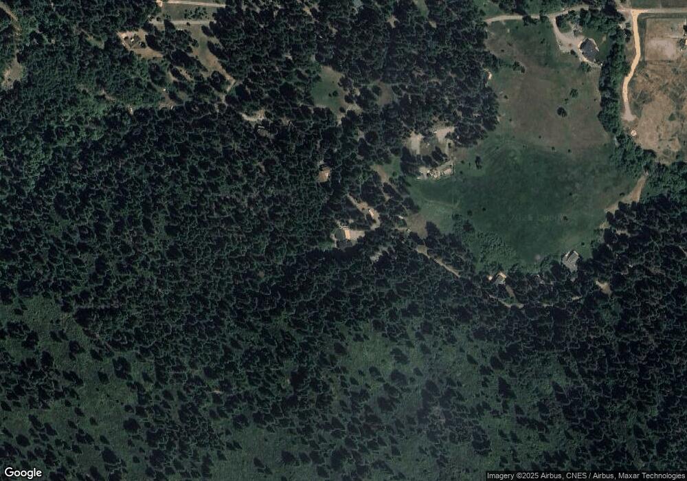
Map
Nearby Homes
- 2120 Pack Trail
- 1644 N Shasta Ranch Rd
- Lot 9 W A Barr Rd
- Lot 1 S Old Stage Rd
- 614 Michele Dr
- 0 N Old Stage Rd
- 527 Paul's Place
- 925 Douglas Ln
- Lot 43 Deas Way Unit 3
- 619 Spring St
- 979 Lassen Ln
- Lot B Washington Dr
- Lot A Washington Dr
- 1212 N Old Stage Rd
- Parcel 2 / 36 Court St
- 0 Berry St
- 1108 Ream Ave
- 312 W Alma St
- Lots 9 & 10 Conestoga Ct
- 00 S Mount Shasta Blvd
- 2012 S Shasta Ranch Rd
- 2001 S Shasta Ranch Rd
- 2104 S Shasta Ranch Rd
- 831 Wagon Trail
- 1915 S Shasta Ranch Rd
- 2020 Paddock Way
- 1938 N Shasta Ranch Rd
- 1905 S Shasta Ranch Rd
- 1809 S Shasta Ranch Rd
- 830 Wagon Trail
- 830 Wagon Trail Unit 1
- 2220 Pack Trail
- 2015 Paddock Way
- 826 Wagon Trail
- 1909 N Shasta Ranch Rd
- 2103 Paddock Way
- 1807 S Shasta Ranch Rd
- 2102 Pack Trail
- 1828 N Shasta Ranch Rd
- 2106 Paddock Way