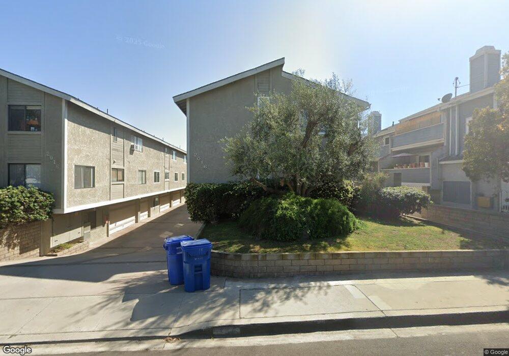
2016 Vanderbilt Ln Unit 2 Redondo Beach, CA 90278
North Redondo Beach NeighborhoodEstimated Value: $1,080,000 - $1,248,000
3
Beds
3
Baths
1,728
Sq Ft
$656/Sq Ft
Est. Value
About This Home
This home is located at 2016 Vanderbilt Ln Unit 2, Redondo Beach, CA 90278 and is currently estimated at $1,133,269, approximately $655 per square foot. 2016 Vanderbilt Ln Unit 2 is a home located in Los Angeles County with nearby schools including Birney Elementary School, Adams Middle School, and Redondo Union High School.
Ownership History
Date
Name
Owned For
Owner Type
Purchase Details
Closed on
Apr 21, 2011
Sold by
Bluestone Mark
Bought by
Milhorn Brian D and Milhorn Cynthia K
Current Estimated Value
Home Financials for this Owner
Home Financials are based on the most recent Mortgage that was taken out on this home.
Original Mortgage
$380,000
Outstanding Balance
$261,183
Interest Rate
4.72%
Mortgage Type
New Conventional
Estimated Equity
$872,086
Purchase Details
Closed on
Nov 7, 2007
Sold by
Rahman Nurlifitri Abdul
Bought by
Bluestone Mark
Home Financials for this Owner
Home Financials are based on the most recent Mortgage that was taken out on this home.
Original Mortgage
$115,000
Interest Rate
6.26%
Mortgage Type
Stand Alone Second
Purchase Details
Closed on
Oct 29, 2007
Sold by
Aurora Loan Services
Bought by
Bluestone Mark
Home Financials for this Owner
Home Financials are based on the most recent Mortgage that was taken out on this home.
Original Mortgage
$115,000
Interest Rate
6.26%
Mortgage Type
Stand Alone Second
Purchase Details
Closed on
Sep 26, 2007
Sold by
Trantham Mae P
Bought by
Aurora Loan Services
Home Financials for this Owner
Home Financials are based on the most recent Mortgage that was taken out on this home.
Original Mortgage
$115,000
Interest Rate
6.26%
Mortgage Type
Stand Alone Second
Purchase Details
Closed on
Nov 10, 2004
Sold by
Trantham Jarrod W
Bought by
Trantham Mae P
Home Financials for this Owner
Home Financials are based on the most recent Mortgage that was taken out on this home.
Original Mortgage
$483,200
Interest Rate
5.75%
Mortgage Type
Purchase Money Mortgage
Purchase Details
Closed on
Oct 6, 2004
Sold by
Fowler Bruce Rodger
Bought by
Trantham Mae P
Home Financials for this Owner
Home Financials are based on the most recent Mortgage that was taken out on this home.
Original Mortgage
$483,200
Interest Rate
5.75%
Mortgage Type
Purchase Money Mortgage
Create a Home Valuation Report for This Property
The Home Valuation Report is an in-depth analysis detailing your home's value as well as a comparison with similar homes in the area
Home Values in the Area
Average Home Value in this Area
Purchase History
| Date | Buyer | Sale Price | Title Company |
|---|---|---|---|
| Milhorn Brian D | $589,000 | Usa National Title Co | |
| Bluestone Mark | -- | Fidelity National Title Co | |
| Bluestone Mark | $560,000 | Fidelity National Title Co | |
| Aurora Loan Services | $516,715 | None Available | |
| Trantham Mae P | -- | Fidelity National Title Comp | |
| Trantham Mae P | $604,000 | Fidelity National Title Comp |
Source: Public Records
Mortgage History
| Date | Status | Borrower | Loan Amount |
|---|---|---|---|
| Open | Milhorn Brian D | $380,000 | |
| Previous Owner | Bluestone Mark | $115,000 | |
| Previous Owner | Bluestone Mark | $417,000 | |
| Previous Owner | Trantham Mae P | $483,200 | |
| Closed | Trantham Mae P | $120,800 |
Source: Public Records
Tax History
| Year | Tax Paid | Tax Assessment Tax Assessment Total Assessment is a certain percentage of the fair market value that is determined by local assessors to be the total taxable value of land and additions on the property. | Land | Improvement |
|---|---|---|---|---|
| 2025 | $8,554 | $754,597 | $457,373 | $297,224 |
| 2024 | $8,554 | $739,802 | $448,405 | $291,397 |
| 2023 | $8,398 | $725,297 | $439,613 | $285,684 |
| 2022 | $8,285 | $711,077 | $430,994 | $280,083 |
| 2021 | $8,080 | $697,136 | $422,544 | $274,592 |
| 2019 | $7,922 | $676,461 | $410,012 | $266,449 |
| 2018 | $7,712 | $663,198 | $401,973 | $261,225 |
| 2016 | $7,462 | $637,447 | $386,365 | $251,082 |
| 2015 | $7,323 | $627,873 | $380,562 | $247,311 |
| 2014 | $6,749 | $573,000 | $347,000 | $226,000 |
Source: Public Records
Map
Nearby Homes
- 2007 Carnegie Ln Unit B
- 1708 Blossom Ln
- 2007 Blossom Ln
- 2009 Blossom Ln
- 2110 Carnegie Ln Unit 3
- 2114 Carnegie Ln Unit C
- 2001 Artesia Blvd Unit 403
- 2005 Mathews Ave Unit C
- 2005 Mathews Ave Unit A
- 2105 Mathews Ave Unit 11
- 2018 Grant Ave Unit A
- 2018 Grant Ave Unit C
- 1902 Flagler Ln
- 1905 Rockefeller Ln Unit A
- 2118 Grant Ave Unit 1
- 1836 Rockefeller Ln
- 2103 Harriman Ln
- 615 Aviation Way
- 2227 Mathews Ave
- 2100 Harriman Ln
- 2016 Vanderbilt Ln
- 2016 Vanderbilt Ln Unit 7
- 2016 Vanderbilt Ln Unit 6
- 2016 Vanderbilt Ln Unit 5
- 2016 Vanderbilt Ln Unit 4
- 2016 Vanderbilt Ln Unit 3
- 2016 Vanderbilt Ln Unit 1
- 2020 Vanderbilt Ln
- 2014 Vanderbilt Ln Unit 7
- 2014 Vanderbilt Ln Unit 6
- 2014 Vanderbilt Ln Unit 5
- 2014 Vanderbilt Ln Unit 4
- 2012 Vanderbilt Ln Unit 3
- 2012 Vanderbilt Ln Unit 2
- 2012 Vanderbilt Ln Unit 1
- 2019 Carnegie Ln
- 2019 Carnegie Ln Unit 7
- 2019 Carnegie Ln Unit 6
- 2019 Carnegie Ln Unit 5
- 2019 Carnegie Ln Unit 4
Your Personal Tour Guide
Ask me questions while you tour the home.