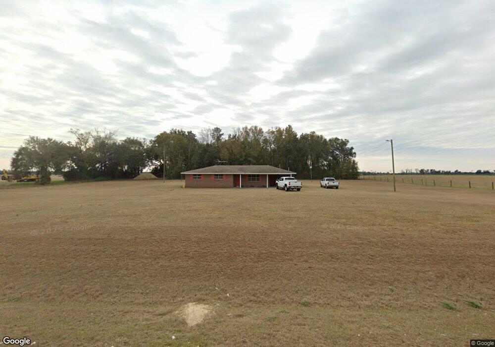
2016 Whites Bridge Rd Colquitt, GA 39837
Estimated Value: $163,641 - $177,000
--
Bed
1
Bath
1,345
Sq Ft
$126/Sq Ft
Est. Value
About This Home
This home is located at 2016 Whites Bridge Rd, Colquitt, GA 39837 and is currently estimated at $169,160, approximately $125 per square foot. 2016 Whites Bridge Rd is a home located in Decatur County with nearby schools including Bainbridge High School.
Ownership History
Date
Name
Owned For
Owner Type
Purchase Details
Closed on
Apr 15, 2024
Sold by
Wells Charles E
Bought by
Flett Victoria Caye
Current Estimated Value
Home Financials for this Owner
Home Financials are based on the most recent Mortgage that was taken out on this home.
Original Mortgage
$151,530
Interest Rate
6.74%
Mortgage Type
New Conventional
Purchase Details
Closed on
Apr 23, 2015
Sold by
Wells Joyce
Bought by
Womble Sandra W
Create a Home Valuation Report for This Property
The Home Valuation Report is an in-depth analysis detailing your home's value as well as a comparison with similar homes in the area
Home Values in the Area
Average Home Value in this Area
Purchase History
| Date | Buyer | Sale Price | Title Company |
|---|---|---|---|
| Flett Victoria Caye | $150,000 | -- | |
| Wells Charles E | -- | -- | |
| Womble Sandra W | -- | -- |
Source: Public Records
Mortgage History
| Date | Status | Borrower | Loan Amount |
|---|---|---|---|
| Closed | Wells Charles E | $151,530 |
Source: Public Records
Tax History Compared to Growth
Tax History
| Year | Tax Paid | Tax Assessment Tax Assessment Total Assessment is a certain percentage of the fair market value that is determined by local assessors to be the total taxable value of land and additions on the property. | Land | Improvement |
|---|---|---|---|---|
| 2024 | $1,601 | $53,167 | $17,760 | $35,407 |
| 2023 | $1,601 | $53,167 | $17,760 | $35,407 |
| 2022 | $1,438 | $49,407 | $14,000 | $35,407 |
| 2021 | $1,321 | $44,570 | $12,360 | $32,210 |
| 2020 | $1,240 | $39,686 | $12,360 | $27,326 |
| 2019 | $1,181 | $36,411 | $12,360 | $24,051 |
| 2018 | $1,166 | $36,411 | $12,360 | $24,051 |
| 2017 | $1,143 | $36,411 | $12,360 | $24,051 |
| 2016 | $802 | $38,920 | $14,869 | $24,051 |
| 2015 | $745 | $38,920 | $14,869 | $24,051 |
| 2014 | $649 | $38,920 | $14,869 | $24,051 |
| 2013 | -- | $38,920 | $14,869 | $24,051 |
Source: Public Records
Map
Nearby Homes
- 0 Newton Rd
- 424 Grassy Flats Rd
- 0 Johnny Freeman Rd
- 1502 Brinson Rd
- 324 Privett Store Rd
- 149 County Line Church Rd
- 1203 Bellview Rd
- 160 Manhole Rd
- 2137 Pondtown Rd
- 00 Manhole Rd
- 721 E Crawford St
- 533 Flint River Heights Rd
- 708 E Crawford St
- 000 Bellview Rd
- 000 Thompson Town Rd
- 757 Manhole Rd
- Brinson Airbase Rd
- 994 Hornsby Rd
- 116 Flint River Heights Rd
- 104 Brock St