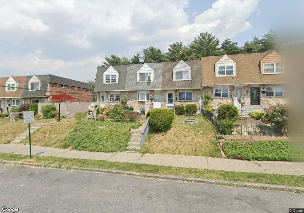
2017 Baker Dr Allentown, PA 18103
Southside NeighborhoodEstimated Value: $201,000 - $250,000
3
Beds
1
Bath
1,152
Sq Ft
$199/Sq Ft
Est. Value
About This Home
This home is located at 2017 Baker Dr, Allentown, PA 18103 and is currently estimated at $229,502, approximately $199 per square foot. 2017 Baker Dr is a home located in Lehigh County with nearby schools including Hiram W Dodd Elementary School, San Rafael Junior High School, and South Mountain Middle School.
Ownership History
Date
Name
Owned For
Owner Type
Purchase Details
Closed on
Nov 30, 2000
Sold by
Bringhurst Jancsics and Bringhurst Louise
Bought by
Rigas Theodore G
Current Estimated Value
Purchase Details
Closed on
Dec 29, 1993
Sold by
Sec Of Housing & Urban Development
Bought by
Jancsics Mark and Louise Bringhurst
Purchase Details
Closed on
Jul 23, 1993
Sold by
Marx Christine A
Bought by
Sec Of Housing & Urban Development
Purchase Details
Closed on
Apr 28, 1989
Sold by
Fisher Marc S and Fisher Adele N
Bought by
Marx Christine A
Purchase Details
Closed on
Oct 3, 1988
Bought by
Fisher Marc S and Fisher Adele N
Create a Home Valuation Report for This Property
The Home Valuation Report is an in-depth analysis detailing your home's value as well as a comparison with similar homes in the area
Home Values in the Area
Average Home Value in this Area
Purchase History
| Date | Buyer | Sale Price | Title Company |
|---|---|---|---|
| Rigas Theodore G | $71,000 | -- | |
| Jancsics Mark | $60,300 | -- | |
| Sec Of Housing & Urban Development | -- | -- | |
| Marx Christine A | $76,900 | -- | |
| Fisher Marc S | -- | -- |
Source: Public Records
Tax History Compared to Growth
Tax History
| Year | Tax Paid | Tax Assessment Tax Assessment Total Assessment is a certain percentage of the fair market value that is determined by local assessors to be the total taxable value of land and additions on the property. | Land | Improvement |
|---|---|---|---|---|
| 2025 | $3,016 | $93,100 | $7,400 | $85,700 |
| 2024 | $3,016 | $93,100 | $7,400 | $85,700 |
| 2023 | $3,016 | $93,100 | $7,400 | $85,700 |
| 2022 | $2,910 | $93,100 | $85,700 | $7,400 |
| 2021 | $2,851 | $93,100 | $7,400 | $85,700 |
| 2020 | $2,777 | $93,100 | $7,400 | $85,700 |
| 2019 | $2,731 | $93,100 | $7,400 | $85,700 |
| 2018 | $2,551 | $93,100 | $7,400 | $85,700 |
| 2017 | $2,486 | $93,100 | $7,400 | $85,700 |
| 2016 | -- | $93,100 | $7,400 | $85,700 |
| 2015 | -- | $93,100 | $7,400 | $85,700 |
| 2014 | -- | $93,100 | $7,400 | $85,700 |
Source: Public Records
Map
Nearby Homes
- 642 W Emaus Ave
- 1901 S Delaware St
- 566 W Emaus Ave
- 566 588 W Emaus Ave
- 2343 S 9th St
- 2401 S Church St
- 2413 S Church St
- 2347 S Law St Unit 2349
- 1831 S Church St
- 2416 S Alice St Unit 2418
- 2531 S Carbon St
- 1066 Devonshire Rd Unit 1068
- 206 208 W Emaus Ave
- 2157 S Poplar St
- 2449 S Howard St Unit Rear
- 2441 S 4th St
- 1852 S 2nd St
- 618 Clifford St
- 203 W Brookdale St
- 148 W Brookdale St