Estimated Value: $226,000 - $313,000
Studio
3
Baths
1,794
Sq Ft
$143/Sq Ft
Est. Value
About This Home
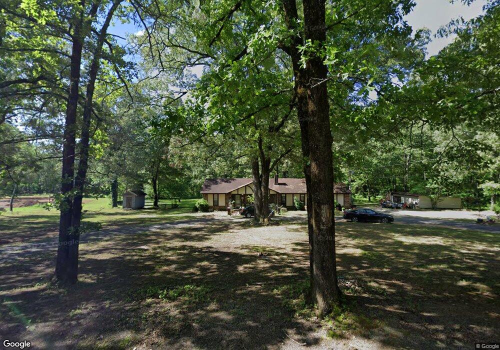
This home is located at 2017 E Carmichael Rd, Cabot, AR 72023 and is currently estimated at $255,673, approximately $142 per square foot. 2017 E Carmichael Rd is a home located in Pulaski County with nearby schools including Bayou Meto Elementary School, Jacksonville Middle School, and Jacksonville High School.
Ownership History
Date
Name
Owned For
Owner Type
Purchase Details
Closed on
Oct 13, 2023
Sold by
Commissioner Of State Lands
Bought by
Robinson Timothy Joe Pamela K and Southern Gas Fed Credit Union
Current Estimated Value
Purchase Details
Closed on
Sep 17, 2009
Sold by
Honner Pamela Kaye
Bought by
Joe Timothy and Robinson Pamela Kaye
Purchase Details
Closed on
Nov 21, 2007
Sold by
Sherer Billy and Estate Of Mary R Taylor
Bought by
Robinson Pamela K
Purchase Details
Closed on
May 23, 2002
Sold by
Daniels Charlie
Bought by
Guajardo Alex
Create a Home Valuation Report for This Property
The Home Valuation Report is an in-depth analysis detailing your home's value as well as a comparison with similar homes in the area
Purchase History
| Date | Buyer | Sale Price | Title Company |
|---|---|---|---|
| Robinson Timothy Joe Pamela K | $2,284 | None Listed On Document | |
| Joe Timothy | -- | None Available | |
| Joe Timothy | -- | None Available | |
| Robinson Pamela K | -- | None Available | |
| Guajardo Alex | $3,978 | -- |
Source: Public Records
Tax History
| Year | Tax Paid | Tax Assessment Tax Assessment Total Assessment is a certain percentage of the fair market value that is determined by local assessors to be the total taxable value of land and additions on the property. | Land | Improvement |
|---|---|---|---|---|
| 2025 | $1,554 | $42,342 | $3,700 | $38,642 |
| 2024 | $1,239 | $42,342 | $3,700 | $38,642 |
| 2023 | $1,239 | $42,342 | $3,700 | $38,642 |
| 2022 | $1,405 | $42,342 | $3,700 | $38,642 |
| 2021 | $1,340 | $25,930 | $4,810 | $21,120 |
| 2020 | $911 | $25,930 | $4,810 | $21,120 |
| 2019 | $857 | $25,930 | $4,810 | $21,120 |
| 2018 | $829 | $25,930 | $4,810 | $21,120 |
| 2017 | $939 | $18,490 | $4,810 | $13,680 |
| 2016 | $1,592 | $26,490 | $4,070 | $22,420 |
| 2015 | $1,346 | $26,490 | $4,070 | $22,420 |
| 2014 | $1,346 | $0 | $0 | $0 |
Source: Public Records
Map
Nearby Homes
- 2111 Backbone Rd
- 9814 Angie Ct
- 1123 E Carmichael Rd
- 38 Arbor Trail
- 89 W St
- 12504 Dalin Rd
- 11104 Peters Rd
- 17 Denali Ln
- 14 Denali Ln
- 13 Denali Cove
- 12711 Keener Rd
- 001-12163-000 Highway 5
- 2941 S Rockwood Rd
- 000 E Republican Rd
- 1902 E Republican Rd
- 00000 W Carmichael Rd
- 8475 John Harden Dr
- 8475 John Hardin
- 714 E Republican Rd
- 2811 Mcneill Cove
- 1921 E Carmichael Rd
- 2112 E Carmichael Rd
- 1820 E Carmichael Rd
- 2213 E Carmichael Rd
- 1814 E Carmichael Rd
- 2107 Ransom Cove
- 1901 Ransom Cove
- 2015 Ransom Cove
- 1714 E Carmichael Rd Unit E
- 2009 Backbone Rd
- 1917 Backbone Rd
- 2014 Ransom Cove
- 10712 Mount Pleasant Cutoff
- 1823 Backbone Rd
- 10708 Mount Pleasant Cutoff
- 2502 E Carmichael Rd
- 0 Backbone Unit 10278956
- 2327 Backbone Rd
- 10619 Mount Pleasant Cutoff
- 1902 Ransom Cove
Your Personal Tour Guide
Ask me questions while you tour the home.