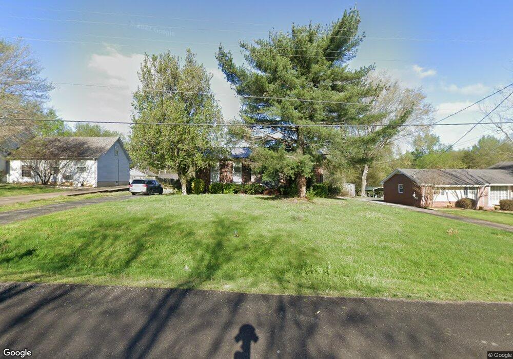
2017 Harbor Dr Smyrna, TN 37167
Estimated Value: $314,437 - $465,000
--
Bed
2
Baths
1,295
Sq Ft
$298/Sq Ft
Est. Value
About This Home
This home is located at 2017 Harbor Dr, Smyrna, TN 37167 and is currently estimated at $385,859, approximately $297 per square foot. 2017 Harbor Dr is a home located in Rutherford County with nearby schools including Smyrna Middle School, Smyrna High School, and Lancaster Christian Academy.
Ownership History
Date
Name
Owned For
Owner Type
Purchase Details
Closed on
Jun 29, 2017
Sold by
Barrier David A and Barrier Leisa
Bought by
Singleton Matthew J
Current Estimated Value
Home Financials for this Owner
Home Financials are based on the most recent Mortgage that was taken out on this home.
Original Mortgage
$221,815
Outstanding Balance
$184,946
Interest Rate
4.02%
Mortgage Type
FHA
Estimated Equity
$200,913
Purchase Details
Closed on
Jul 29, 1994
Sold by
Blankensopp Kenneth R
Bought by
Barrier David A
Create a Home Valuation Report for This Property
The Home Valuation Report is an in-depth analysis detailing your home's value as well as a comparison with similar homes in the area
Home Values in the Area
Average Home Value in this Area
Purchase History
| Date | Buyer | Sale Price | Title Company |
|---|---|---|---|
| Singleton Matthew J | $243,000 | None Available | |
| Barrier David A | -- | -- |
Source: Public Records
Mortgage History
| Date | Status | Borrower | Loan Amount |
|---|---|---|---|
| Open | Singleton Matthew J | $221,815 |
Source: Public Records
Tax History Compared to Growth
Tax History
| Year | Tax Paid | Tax Assessment Tax Assessment Total Assessment is a certain percentage of the fair market value that is determined by local assessors to be the total taxable value of land and additions on the property. | Land | Improvement |
|---|---|---|---|---|
| 2025 | $1,288 | $68,625 | $13,750 | $54,875 |
| 2024 | $1,288 | $68,625 | $13,750 | $54,875 |
| 2023 | $1,288 | $68,625 | $13,750 | $54,875 |
| 2022 | $1,109 | $68,625 | $13,750 | $54,875 |
| 2021 | $1,073 | $48,350 | $9,375 | $38,975 |
| 2020 | $1,073 | $48,350 | $9,375 | $38,975 |
| 2019 | $1,073 | $48,350 | $9,375 | $38,975 |
| 2018 | $1,015 | $48,350 | $0 | $0 |
| 2017 | $909 | $33,900 | $0 | $0 |
| 2016 | $909 | $33,900 | $0 | $0 |
| 2015 | $909 | $33,900 | $0 | $0 |
| 2014 | $843 | $33,900 | $0 | $0 |
| 2013 | -- | $38,000 | $0 | $0 |
Source: Public Records
Map
Nearby Homes
- 601 Mary Alice Dr
- 517 Matthew Miller Dr
- 112 Lakewood Cir
- 610 Virginia Belle Dr
- 307 Andy Johns Dr
- 656 Mckean Dr Unit 658
- 607 Mckean Dr
- 602 Mckean Dr
- 510 Mckean Dr
- 500 Dellwood Dr
- 421 Keswick Ct
- 1655 Ben Johns Rd
- 411 Lake Farm Rd
- 206 Treetop Ct
- 108 Austin Ave
- 314 Lake Farm Rd
- 1100 Weakley Ln
- 415 Lawson Rd
- 416 Lawson Rd
- 4084 N Lamar Rd