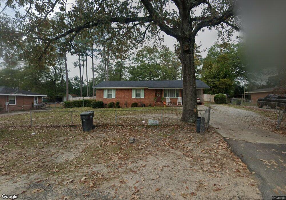
2017 Merritt Rd Augusta, SC 30909
North Leg NeighborhoodEstimated Value: $127,118 - $149,000
3
Beds
2
Baths
1,296
Sq Ft
$107/Sq Ft
Est. Value
About This Home
This home is located at 2017 Merritt Rd, Augusta, SC 30909 and is currently estimated at $139,030, approximately $107 per square foot. 2017 Merritt Rd is a home located in Richmond County with nearby schools including Bayvale Elementary School, Murphey Middle School, and Johnson Magnet.
Ownership History
Date
Name
Owned For
Owner Type
Purchase Details
Closed on
May 10, 2002
Sold by
Crawford Linda L and Crawford Linda Pearl
Bought by
Leverett Standard
Current Estimated Value
Home Financials for this Owner
Home Financials are based on the most recent Mortgage that was taken out on this home.
Original Mortgage
$59,400
Outstanding Balance
$24,412
Interest Rate
7.12%
Estimated Equity
$114,618
Purchase Details
Closed on
Sep 26, 1997
Sold by
Crawford Richard C
Bought by
Crawford Linda L
Purchase Details
Closed on
Mar 1, 1974
Create a Home Valuation Report for This Property
The Home Valuation Report is an in-depth analysis detailing your home's value as well as a comparison with similar homes in the area
Home Values in the Area
Average Home Value in this Area
Purchase History
| Date | Buyer | Sale Price | Title Company |
|---|---|---|---|
| Leverett Standard | $66,000 | -- | |
| Leverett Standard | $66,000 | -- | |
| Crawford Linda L | -- | -- | |
| -- | $19,000 | -- |
Source: Public Records
Mortgage History
| Date | Status | Borrower | Loan Amount |
|---|---|---|---|
| Open | Leverett Standard | $59,400 |
Source: Public Records
Tax History
| Year | Tax Paid | Tax Assessment Tax Assessment Total Assessment is a certain percentage of the fair market value that is determined by local assessors to be the total taxable value of land and additions on the property. | Land | Improvement |
|---|---|---|---|---|
| 2025 | $999 | $47,524 | $3,309 | $44,215 |
| 2024 | $999 | $42,416 | $3,309 | $39,107 |
| 2023 | $719 | $43,548 | $3,309 | $40,239 |
| 2022 | $561 | $20,970 | $3,309 | $17,661 |
| 2021 | $606 | $23,106 | $3,324 | $19,782 |
| 2020 | $582 | $20,908 | $3,324 | $17,584 |
| 2019 | $595 | $20,908 | $3,324 | $17,584 |
| 2018 | $915 | $20,908 | $3,324 | $17,584 |
| 2017 | $871 | $20,908 | $3,324 | $17,584 |
| 2016 | $872 | $20,908 | $3,324 | $17,584 |
| 2015 | $876 | $20,908 | $3,324 | $17,584 |
| 2014 | $877 | $20,908 | $3,324 | $17,584 |
Source: Public Records
Map
Nearby Homes
- 2149 NW Veterans Dr
- 2145 Veterans Dr
- 2141 Veterans Dr
- 2242 Wheeless Rd
- 3009 Bramble Wood Trail
- 3011 Storey Dr
- 3254 Summerchase Cir
- 3302 Winn Dr
- 2344 Dorn Rd
- 1904 Aspen Green Way
- 3242 Summerchase Cir
- 2313 Ridge Rd
- 3016 Honeywood Ct
- 3012 Honeywood Ct
- 3013 Honeywood Ct
- 1602 Wildwood Dr
- 3017 Honeywood Ct
- 3009 Honeywood Ct
- 3005 Honeywood Ct
- 2040 Signal Hill Ct
- 2017 Merritt Rd
- 2015 Merritt Rd
- 2019 Merritt Rd
- 2018 Westfield Dr
- 2156 Sibley Rd
- 2016 Westfield Dr
- 2154 Sibley Rd
- 2014 Westfield Dr
- 2158 Sibley Rd
- 2201 Merritt Rd
- 2152 Sibley Rd
- 2012 Westfield Dr
- 2010 Westfield Dr
- 3104 Evergreen Dr
- 2013 Westfield Dr
- 2147 Sibley Rd
- 2151 Sibley Rd
- 2150 Sibley Rd
- 2155 Sibley Rd
- 2153 Sibley Rd
Your Personal Tour Guide
Ask me questions while you tour the home.