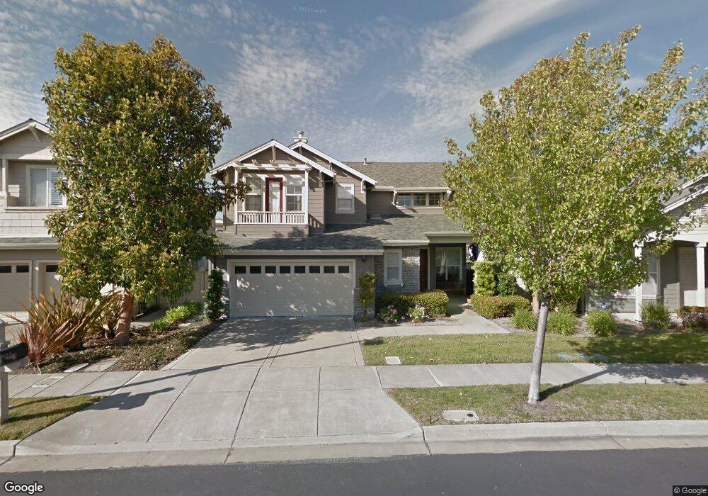
2017 Rockport Ave Redwood City, CA 94065
Redwood Shores NeighborhoodEstimated Value: $2,473,206 - $2,694,000
3
Beds
3
Baths
2,020
Sq Ft
$1,287/Sq Ft
Est. Value
About This Home
This home is located at 2017 Rockport Ave, Redwood City, CA 94065 and is currently estimated at $2,599,552, approximately $1,286 per square foot. 2017 Rockport Ave is a home located in San Mateo County with nearby schools including Ralston Intermediate School, Carlmont High School, and Design Tech High School.
Ownership History
Date
Name
Owned For
Owner Type
Purchase Details
Closed on
Jun 5, 2017
Sold by
Kuspa Joseph A and Kuspa Sachiko O
Bought by
Kuspa Joseph A and Kuspa Sachiko O
Current Estimated Value
Purchase Details
Closed on
Nov 5, 1999
Sold by
Ponderosa Homes Inc
Bought by
Kuspa Joe A and Kuspa Sachiko O
Home Financials for this Owner
Home Financials are based on the most recent Mortgage that was taken out on this home.
Original Mortgage
$533,550
Outstanding Balance
$163,759
Interest Rate
7.82%
Estimated Equity
$2,435,793
Create a Home Valuation Report for This Property
The Home Valuation Report is an in-depth analysis detailing your home's value as well as a comparison with similar homes in the area
Home Values in the Area
Average Home Value in this Area
Purchase History
| Date | Buyer | Sale Price | Title Company |
|---|---|---|---|
| Kuspa Joseph A | -- | None Available | |
| Kuspa Joseph A | -- | None Available | |
| Kuspa Joe A | $667,000 | First American Title Co |
Source: Public Records
Mortgage History
| Date | Status | Borrower | Loan Amount |
|---|---|---|---|
| Open | Kuspa Joe A | $533,550 |
Source: Public Records
Tax History Compared to Growth
Tax History
| Year | Tax Paid | Tax Assessment Tax Assessment Total Assessment is a certain percentage of the fair market value that is determined by local assessors to be the total taxable value of land and additions on the property. | Land | Improvement |
|---|---|---|---|---|
| 2025 | $12,853 | $1,025,142 | $512,571 | $512,571 |
| 2023 | $12,853 | $985,336 | $492,668 | $492,668 |
| 2022 | $12,162 | $966,016 | $483,008 | $483,008 |
| 2021 | $11,003 | $947,076 | $473,538 | $473,538 |
| 2020 | $10,884 | $937,366 | $468,683 | $468,683 |
| 2019 | $10,764 | $918,988 | $459,494 | $459,494 |
| 2018 | $10,558 | $900,970 | $450,485 | $450,485 |
| 2017 | $10,311 | $883,304 | $441,652 | $441,652 |
| 2016 | $10,066 | $865,986 | $432,993 | $432,993 |
| 2015 | $10,033 | $852,980 | $426,490 | $426,490 |
| 2014 | $9,642 | $836,272 | $418,136 | $418,136 |
Source: Public Records
Map
Nearby Homes
- 7 Chart Ln
- 4 Brigantine Ln
- 549 Shoal Cir
- 585 Shoal Cir
- 583 Shoal Cir
- 595 Shoal Cir
- 31 Bremerton Cir
- 401 Baltic Cir Unit 403
- 701 Baltic Cir Unit 729
- 700 Baltic Cir Unit 732
- 1000 Davit Ln Unit 106
- 803 Lakeshore Dr
- 816 Corriente Point Dr
- 856 Lakeshore Dr
- 370 Bramble Ct
- 1051 Beach Park Blvd Unit 204
- 1061 Beach Park Blvd Unit 103
- 1061 Beach Park Blvd Unit 216
- 1202 Moonsail Ln
- 387 Menhaden Ct
- 2013 Rockport Ave
- 2021 Rockport Ave
- 2025 Rockport Ave
- 2009 Rockport Ave
- 700 Freeport Ln
- 2051 Seabrook Ct
- 2055 Seabrook Ct
- 2029 Rockport Ave
- 601 Seabrook Ln
- 2059 Seabrook Ct
- 2063 Seabrook Ct
- 701 Freeport Ln
- 2047 Seabrook Ct
- 2043 Seabrook Ct
- 704 Freeport Ln
- 2033 Rockport Ave
- 605 Seabrook Ln
- 2039 Seabrook Ct
- 2067 Seabrook Ct
- 705 Freeport Ln