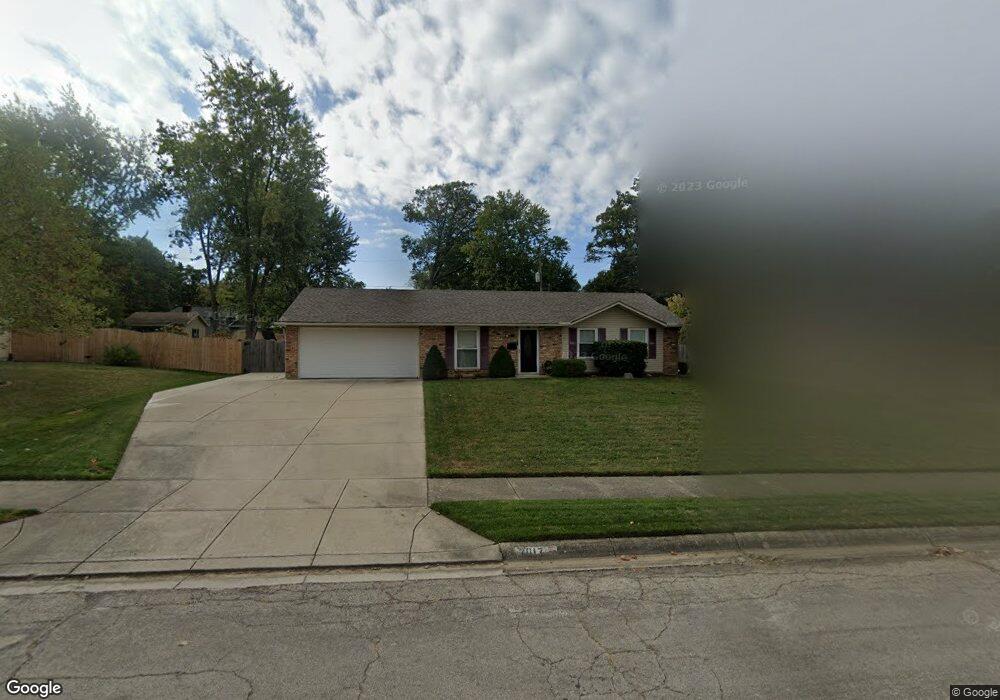
2017 Waltham Ave Springfield, OH 45503
Estimated Value: $174,000 - $208,000
3
Beds
1
Bath
950
Sq Ft
$204/Sq Ft
Est. Value
About This Home
This home is located at 2017 Waltham Ave, Springfield, OH 45503 and is currently estimated at $193,713, approximately $203 per square foot. 2017 Waltham Ave is a home located in Clark County with nearby schools including Northridge Elementary School, Kenton Ridge Middle & High School, and Ridgewood School.
Ownership History
Date
Name
Owned For
Owner Type
Purchase Details
Closed on
Aug 14, 2002
Sold by
Carpenter Connie Trustee
Bought by
Gross Mickey D
Current Estimated Value
Home Financials for this Owner
Home Financials are based on the most recent Mortgage that was taken out on this home.
Original Mortgage
$69,750
Interest Rate
6.64%
Mortgage Type
Purchase Money Mortgage
Create a Home Valuation Report for This Property
The Home Valuation Report is an in-depth analysis detailing your home's value as well as a comparison with similar homes in the area
Home Values in the Area
Average Home Value in this Area
Purchase History
| Date | Buyer | Sale Price | Title Company |
|---|---|---|---|
| Gross Mickey D | -- | -- |
Source: Public Records
Mortgage History
| Date | Status | Borrower | Loan Amount |
|---|---|---|---|
| Previous Owner | Gross Mickey D | $69,750 |
Source: Public Records
Tax History
| Year | Tax Paid | Tax Assessment Tax Assessment Total Assessment is a certain percentage of the fair market value that is determined by local assessors to be the total taxable value of land and additions on the property. | Land | Improvement |
|---|---|---|---|---|
| 2025 | $1,937 | $60,510 | $9,690 | $50,820 |
| 2024 | $1,872 | $45,640 | $9,920 | $35,720 |
| 2023 | $1,872 | $45,640 | $9,920 | $35,720 |
| 2022 | $1,879 | $45,640 | $9,920 | $35,720 |
| 2021 | $1,739 | $36,190 | $7,690 | $28,500 |
| 2020 | $1,739 | $36,190 | $7,690 | $28,500 |
| 2019 | $1,511 | $30,870 | $7,690 | $23,180 |
| 2018 | $1,394 | $27,530 | $6,410 | $21,120 |
| 2017 | $1,185 | $29,502 | $6,412 | $23,090 |
| 2016 | $1,176 | $29,502 | $6,412 | $23,090 |
| 2015 | $1,322 | $29,502 | $6,412 | $23,090 |
| 2014 | $1,322 | $29,502 | $6,412 | $23,090 |
| 2013 | $1,319 | $29,502 | $6,412 | $23,090 |
Source: Public Records
Map
Nearby Homes
- 1924 Marinette Dr
- 2529 Marinette Dr
- 1811 Devon Dr
- 3214 Revels St
- 3300 Revels St
- 2400 Thor Dr
- 1948 Falmouth Ave
- 2022 Westboro Ave
- 2861 Ashlar Dr
- 2553 Derr Rd
- 1628 Yorkshire Ct
- 1032 Armsgate Rd
- 3126 Lakeview Ct Unit 3126
- 1040 Carson Ln
- 3124 El Camino Dr
- 1139 Bradford Dr
- 2332 Villa Rd
- 1046 Fruitland Rd
- 3135 Imperial Blvd
- 1149 Foxboro Rd
- 2019 Waltham Ave
- 2015 Waltham Ave
- 2021 Waltham Ave
- 2014 Waltham Ave
- 1940 Devon Dr
- 2013 Waltham Ave
- 1934 Devon Dr
- 1948 Devon Dr
- 2016 Waltham Ave
- 2010 Waltham Ave
- 2018 Waltham Ave
- 2912 Vineyard St
- 2023 Waltham Ave
- 2011 Waltham Ave
- 1926 Devon Dr
- 2020 Waltham Ave
- 2922 Vineyard St
- 1960 Devon Dr
- 2022 Waltham Ave
- 2856 Vineyard St
Your Personal Tour Guide
Ask me questions while you tour the home.