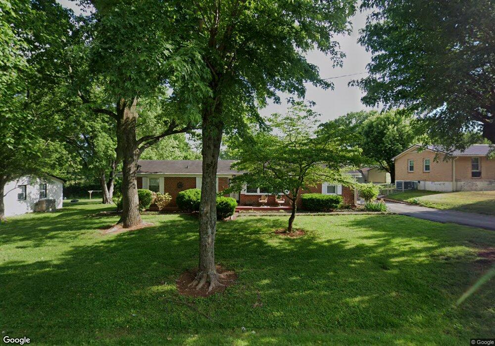
2017 Westwood Dr Columbia, TN 38401
Estimated Value: $298,813
--
Bed
2
Baths
1,600
Sq Ft
$187/Sq Ft
Est. Value
About This Home
This home is located at 2017 Westwood Dr, Columbia, TN 38401 and is currently priced at $298,813, approximately $186 per square foot. 2017 Westwood Dr is a home located in Maury County with nearby schools including J.E. Woodard Elementary School, Whitthorne Middle School, and Columbia Central High School.
Ownership History
Date
Name
Owned For
Owner Type
Purchase Details
Closed on
Mar 27, 2018
Sold by
Harding Richard A
Bought by
Harding Richard A and Harding Linda Marie
Current Estimated Value
Purchase Details
Closed on
Nov 13, 2008
Sold by
Harding Bertha Gay
Bought by
Harding Richard A
Purchase Details
Closed on
Oct 24, 2000
Sold by
Harding Richard A
Bought by
Harding Richard A and Harding Bertha Gay
Home Financials for this Owner
Home Financials are based on the most recent Mortgage that was taken out on this home.
Original Mortgage
$76,800
Outstanding Balance
$27,892
Interest Rate
8.05%
Mortgage Type
Purchase Money Mortgage
Purchase Details
Closed on
Aug 30, 2000
Sold by
Ethel Mattox
Bought by
Harding Richard A
Home Financials for this Owner
Home Financials are based on the most recent Mortgage that was taken out on this home.
Original Mortgage
$76,800
Outstanding Balance
$27,892
Interest Rate
8.05%
Mortgage Type
Purchase Money Mortgage
Create a Home Valuation Report for This Property
The Home Valuation Report is an in-depth analysis detailing your home's value as well as a comparison with similar homes in the area
Home Values in the Area
Average Home Value in this Area
Purchase History
| Date | Buyer | Sale Price | Title Company |
|---|---|---|---|
| Harding Richard A | -- | None Available | |
| Harding Richard A | -- | None Available | |
| Harding Richard A | -- | American Title Company Inc | |
| Harding Richard A | $85,500 | American Title Company Inc |
Source: Public Records
Mortgage History
| Date | Status | Borrower | Loan Amount |
|---|---|---|---|
| Open | Harding Richard A | $76,800 |
Source: Public Records
Tax History Compared to Growth
Tax History
| Year | Tax Paid | Tax Assessment Tax Assessment Total Assessment is a certain percentage of the fair market value that is determined by local assessors to be the total taxable value of land and additions on the property. | Land | Improvement |
|---|---|---|---|---|
| 2022 | $1,605 | $58,700 | $12,500 | $46,200 |
Source: Public Records
Map
Nearby Homes
- 3005 Westwood Dr
- 3006 Sheddan Dr
- 4007 Westwood Dr
- 2910 Brookside Dr
- 6005 Cayce Ln
- 4002 Trotwood Ave
- 231 Overlook Place
- 6009 Hays Dr
- 5013 Hays Dr
- 5011 Hays Dr
- 2719 Gray Cir
- 1701 Jamie Dr
- 526 Woods Dr
- 1620 Baucom Dr
- 0 N Stone Dr
- 1612 Jamie Dr
- 1410 Windermere Dr
- 4007 Hays Dr
- 6152 Worthington Rd
- 6157 Worthington Rd
- 2019 Westwood Dr
- 2015 Westwood Dr
- 4001 Glenrose Dr
- 4008 Brookside Dr
- 2013 Westwood Dr
- 5000 Brookside Dr
- 4003 Glenrose Dr
- 4017 Brookside Dr
- 4006 Brookside Dr
- 4000 Glenrose Dr
- 2011 Westwood Dr
- 5002 Brookside Dr
- 5001 Westwood Dr
- 3001 Westwood Dr
- 4013 Brookside Dr
- 4002 Glenrose Dr
- 4005 Glenrose Dr
- 4004 Brookside Dr
- 2009 Westwood Dr
- 5004 Brookside Dr