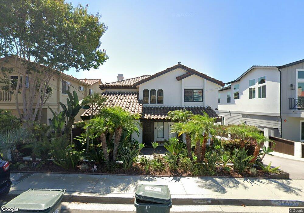
2018 Clark Ln Unit B Redondo Beach, CA 90278
North Redondo Beach NeighborhoodEstimated Value: $1,552,760 - $1,771,000
3
Beds
3
Baths
2,689
Sq Ft
$614/Sq Ft
Est. Value
About This Home
This home is located at 2018 Clark Ln Unit B, Redondo Beach, CA 90278 and is currently estimated at $1,652,190, approximately $614 per square foot. 2018 Clark Ln Unit B is a home located in Los Angeles County with nearby schools including Birney Elementary School, Adams Middle School, and Redondo Union High School.
Ownership History
Date
Name
Owned For
Owner Type
Purchase Details
Closed on
Dec 15, 2023
Sold by
Behare Edward Steve and Beha Maureen
Bought by
Behare Erin L and Behare Stacy A
Current Estimated Value
Purchase Details
Closed on
Sep 13, 2012
Sold by
Behare Edward and Behare Maureen
Bought by
Edward Steve Behare And Maureen Ann Behare Li and Behare
Create a Home Valuation Report for This Property
The Home Valuation Report is an in-depth analysis detailing your home's value as well as a comparison with similar homes in the area
Home Values in the Area
Average Home Value in this Area
Purchase History
| Date | Buyer | Sale Price | Title Company |
|---|---|---|---|
| Behare Erin L | -- | None Listed On Document | |
| Edward Steve Behare And Maureen Ann Behare Li | -- | None Listed On Document |
Source: Public Records
Tax History
| Year | Tax Paid | Tax Assessment Tax Assessment Total Assessment is a certain percentage of the fair market value that is determined by local assessors to be the total taxable value of land and additions on the property. | Land | Improvement |
|---|---|---|---|---|
| 2025 | $16,747 | $701,622 | $432,880 | $268,742 |
| 2024 | $16,747 | $1,440,240 | $1,071,000 | $369,240 |
| 2023 | $8,346 | $674,379 | $416,072 | $258,307 |
| 2022 | $8,192 | $661,157 | $407,914 | $253,243 |
| 2021 | $8,010 | $648,194 | $399,916 | $248,278 |
| 2019 | $7,765 | $628,970 | $388,055 | $240,915 |
| 2018 | $7,521 | $616,639 | $380,447 | $236,192 |
| 2016 | $7,261 | $592,696 | $365,675 | $227,021 |
| 2015 | $7,132 | $583,794 | $360,183 | $223,611 |
| 2014 | $7,030 | $572,359 | $353,128 | $219,231 |
Source: Public Records
Map
Nearby Homes
- 2103 Harriman Ln
- 2114 Clark Ln
- 2018 Grant Ave Unit A
- 2018 Grant Ave Unit C
- 2203 Marshallfield Ln Unit B
- 2118 Grant Ave Unit 1
- 2205 Marshallfield Ln Unit B
- 2205 Marshallfield Ln Unit A
- 1912 Belmont Ln Unit A
- 2220 Huntington Ln Unit 4
- 1708 Blossom Ln
- 2301 Marshallfield Ln Unit A
- 902 Green Ln
- 2110 Carnegie Ln Unit 3
- 2114 Carnegie Ln Unit C
- 1836 Rockefeller Ln
- 1905 Rockefeller Ln Unit A
- 2007 Carnegie Ln Unit B
- 2217 Rockefeller Ln Unit C
- 1729 Harriman Ln Unit A
- 2018 Clark Ln
- 2018 Clark Ln Unit A
- 2020 Clark Ln Unit A
- 2016 Clark Ln Unit B
- 2016 Clark Ln Unit A
- 2016 Clark Ln
- 2022 Clark Ln Unit 1
- 1207 Blossom Ln Unit 2
- 2014 Clark Ln Unit A
- 2012 Clark Ln
- 2019 Marshallfield Ln Unit B
- 2019 Marshallfield Ln Unit A
- 2015 Marshallfield Ln Unit B
- 2015 Marshallfield Ln Unit A
- 2017 Marshallfield Ln
- 2017 Marshallfield Ln Unit B
- 2017 Marshallfield Ln Unit A
- 2021 Marshallfield Ln
- 2021 Clark Ln
- 2100 Clark Ln Unit 2
Your Personal Tour Guide
Ask me questions while you tour the home.