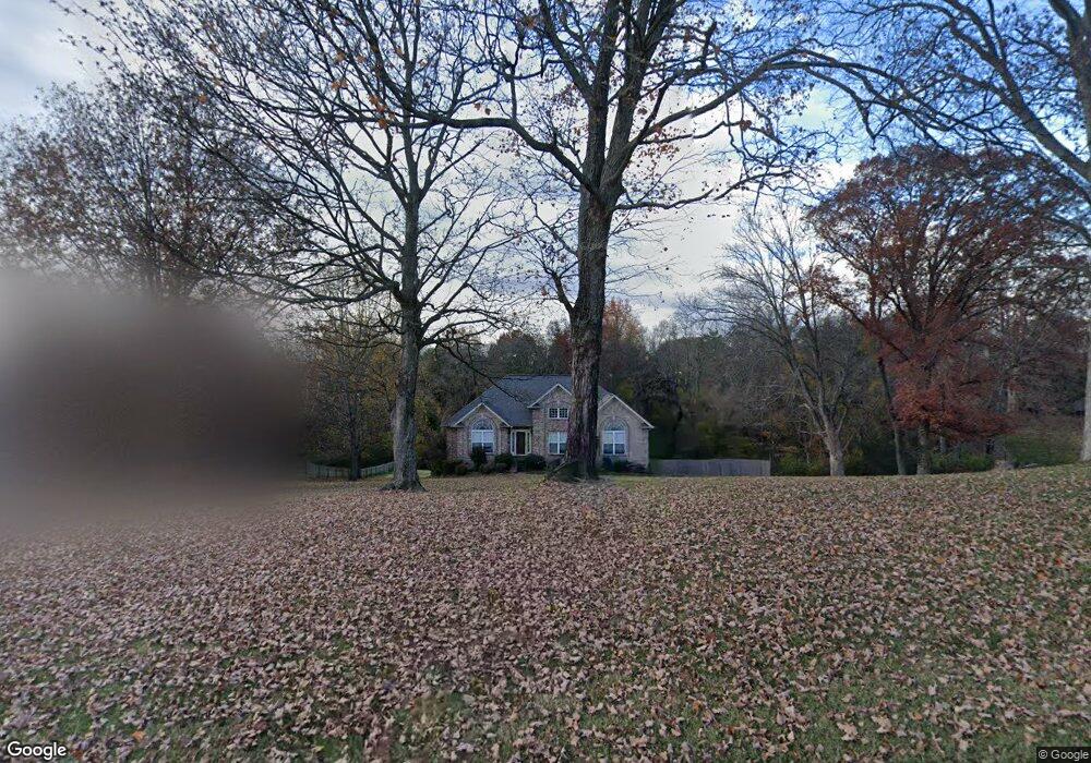
2018 Earl Pearce Cir Mount Juliet, TN 37122
Estimated Value: $476,969 - $707,000
--
Bed
3
Baths
1,827
Sq Ft
$331/Sq Ft
Est. Value
About This Home
This home is located at 2018 Earl Pearce Cir, Mount Juliet, TN 37122 and is currently estimated at $604,492, approximately $330 per square foot. 2018 Earl Pearce Cir is a home located in Wilson County with nearby schools including Lakeview Elementary School, Mt. Juliet Middle School, and Green Hill High School.
Ownership History
Date
Name
Owned For
Owner Type
Purchase Details
Closed on
Jun 28, 2010
Bought by
Clark Michele D Etvir Bradley R
Current Estimated Value
Home Financials for this Owner
Home Financials are based on the most recent Mortgage that was taken out on this home.
Original Mortgage
$340,415
Outstanding Balance
$226,549
Interest Rate
4.75%
Mortgage Type
FHA
Estimated Equity
$377,943
Purchase Details
Closed on
Mar 28, 2010
Sold by
Irwin Joseph
Bought by
Clark Michele D
Purchase Details
Closed on
Sep 28, 2001
Sold by
Point Partners Llc
Bought by
Irwin Joseph
Purchase Details
Closed on
Apr 23, 2001
Bought by
Pointe Partners Llc
Create a Home Valuation Report for This Property
The Home Valuation Report is an in-depth analysis detailing your home's value as well as a comparison with similar homes in the area
Home Values in the Area
Average Home Value in this Area
Purchase History
| Date | Buyer | Sale Price | Title Company |
|---|---|---|---|
| Clark Michele D Etvir Bradley R | $345,000 | -- | |
| Clark Michele D | $345,000 | -- | |
| Irwin Joseph | $23,000 | -- | |
| Pointe Partners Llc | $740,000 | -- |
Source: Public Records
Mortgage History
| Date | Status | Borrower | Loan Amount |
|---|---|---|---|
| Open | Pointe Partners Llc | $340,415 |
Source: Public Records
Tax History Compared to Growth
Tax History
| Year | Tax Paid | Tax Assessment Tax Assessment Total Assessment is a certain percentage of the fair market value that is determined by local assessors to be the total taxable value of land and additions on the property. | Land | Improvement |
|---|---|---|---|---|
| 2024 | $1,685 | $88,275 | $18,750 | $69,525 |
| 2022 | $1,685 | $88,275 | $18,750 | $69,525 |
| 2021 | $1,685 | $88,275 | $18,750 | $69,525 |
| 2020 | $1,640 | $88,275 | $18,750 | $69,525 |
| 2019 | $1,640 | $65,125 | $12,950 | $52,175 |
| 2018 | $1,640 | $65,125 | $12,950 | $52,175 |
| 2017 | $1,640 | $65,125 | $12,950 | $52,175 |
| 2016 | $1,640 | $65,125 | $12,950 | $52,175 |
| 2015 | $1,674 | $65,125 | $12,950 | $52,175 |
| 2014 | $1,596 | $62,080 | $0 | $0 |
Source: Public Records
Map
Nearby Homes
- 2005 Earl Pearce Cir
- 1809 Hidden Ridge Cir
- 1 Saundersville Ferry Rd
- 1337 Vanderbilt Rd
- 589 Saundersville Ferry Rd
- 3009 Nottingham Cir
- 741 Saundersville Ferry Rd
- 2027 Hunters Place
- 877 Saundersville Ferry Rd
- 326 Windhaven Bay
- 3860 Saundersville Ferry Rd
- 5493 Vanderbilt Rd
- 337 Vanderbilt Rd
- 1041 Cedar Creek Village Rd
- 1003 Bellwood Dr
- 802 Crystal Ct
- 306 Estate Dr
- 0 Cedar Grove Church Rd Unit RTC2942278
- 0 Cedar Grove Church Rd Unit 20311085
- 320 Estate Dr
- 2020 Earl Pearce Cir
- 2016 Earl Pearce Cir
- 2022 Earl Pearce Cir
- 2014 Earl Pearce Cir
- 2013 Earl Pearce Cir
- 813 Lori Ln
- 2011 Earl Pearce Cir
- 817 Lori Ln
- 815 Lori Ln
- 2009 Earl Pearce Cir
- 811 Lori Ln
- 2012 Earl Pearce Cir
- 2024 Earl Pearce Cir
- 819 Lori Ln
- 2026 Earl Pearce Cir
- 2007 Earl Pearce Cir
- 2015 Earl Pearce Cir
- 809 Lori Ln
- 2008 Earl Pearce Cir
- 821 Lori Ln