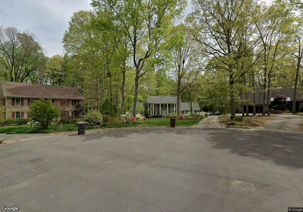
2018 La Vista Dr High Point, NC 27265
Deep River NeighborhoodEstimated Value: $484,000 - $639,000
4
Beds
4
Baths
3,582
Sq Ft
$154/Sq Ft
Est. Value
About This Home
This home is located at 2018 La Vista Dr, High Point, NC 27265 and is currently estimated at $551,126, approximately $153 per square foot. 2018 La Vista Dr is a home located in Guilford County with nearby schools including Southwest Elementary School, Welborn Academy of Science & Technology, and T.W. Andrews High School.
Ownership History
Date
Name
Owned For
Owner Type
Purchase Details
Closed on
Jul 25, 2014
Sold by
Lawton Darcy Lee and Lawton Mary Louise
Bought by
Woehr Jeffrey Andrew and Woehr Meredith Edwards
Current Estimated Value
Home Financials for this Owner
Home Financials are based on the most recent Mortgage that was taken out on this home.
Original Mortgage
$289,750
Outstanding Balance
$221,527
Interest Rate
4.26%
Mortgage Type
New Conventional
Estimated Equity
$329,599
Purchase Details
Closed on
Dec 16, 1994
Bought by
Lawton Darcy Lee
Create a Home Valuation Report for This Property
The Home Valuation Report is an in-depth analysis detailing your home's value as well as a comparison with similar homes in the area
Home Values in the Area
Average Home Value in this Area
Purchase History
| Date | Buyer | Sale Price | Title Company |
|---|---|---|---|
| Woehr Jeffrey Andrew | $305,000 | None Available | |
| Lawton Darcy Lee | $267,100 | -- |
Source: Public Records
Mortgage History
| Date | Status | Borrower | Loan Amount |
|---|---|---|---|
| Open | Woehr Jeffrey Andrew | $289,750 |
Source: Public Records
Tax History Compared to Growth
Tax History
| Year | Tax Paid | Tax Assessment Tax Assessment Total Assessment is a certain percentage of the fair market value that is determined by local assessors to be the total taxable value of land and additions on the property. | Land | Improvement |
|---|---|---|---|---|
| 2025 | $4,711 | $341,900 | $69,000 | $272,900 |
| 2024 | $4,711 | $341,900 | $69,000 | $272,900 |
| 2023 | $4,711 | $341,900 | $69,000 | $272,900 |
| 2022 | $4,609 | $341,900 | $69,000 | $272,900 |
| 2021 | $4,195 | $304,400 | $81,300 | $223,100 |
| 2020 | $4,195 | $304,400 | $81,300 | $223,100 |
| 2019 | $4,195 | $304,400 | $0 | $0 |
| 2018 | $4,174 | $304,400 | $0 | $0 |
| 2017 | $4,174 | $304,400 | $0 | $0 |
| 2016 | $4,510 | $321,600 | $0 | $0 |
| 2015 | $4,535 | $321,600 | $0 | $0 |
| 2014 | $4,612 | $321,600 | $0 | $0 |
Source: Public Records
Map
Nearby Homes
- 2200 Delaine Point
- 2115 Mirus Ct
- 4307 Oak Hollow Dr
- 4218 Pelican St
- 4407 Oak Hollow Dr
- 1935 Eastchester Dr
- 3753 Carvette Ct
- 4404 Essex Ct
- 3521 Sunset Hollow Ct
- 4004 Baywater Point
- 3710 Spanish Peak Dr Unit 2D
- 3724 Spanish Peak Dr Unit 2B
- 3905 Wynne Brook Ct
- 1924 Middlewood Ct
- 2754 Mossy Meadow Dr
- 2512 Burch Point
- 3924 Braddock Rd
- 3741 Georgia Pond Ln
- 4126 Birchgarden Dr
- 1906 Greenstone Place
- 2016 La Vista Dr
- 2020 La Vista Dr
- 2014 La Vista Dr
- 2015 La Vista Dr
- 2010 La Vista Ct
- 2012 La Vista Dr
- 2011 La Vista Dr
- 2013 La Vista Dr
- 2009 La Vista Dr
- 2008 La Vista Ct
- 2007 La Vista Dr
- 2006 La Vista Ct
- 2010 La Dora Ct
- 2005 La Vista Dr
- 2002 La Vista Dr
- 2008 La Dora Ct
- 2004 La Vista Ct
- 2012 La Dora Ct
- 2003 La Vista Dr
- 2004 La Dora Dr